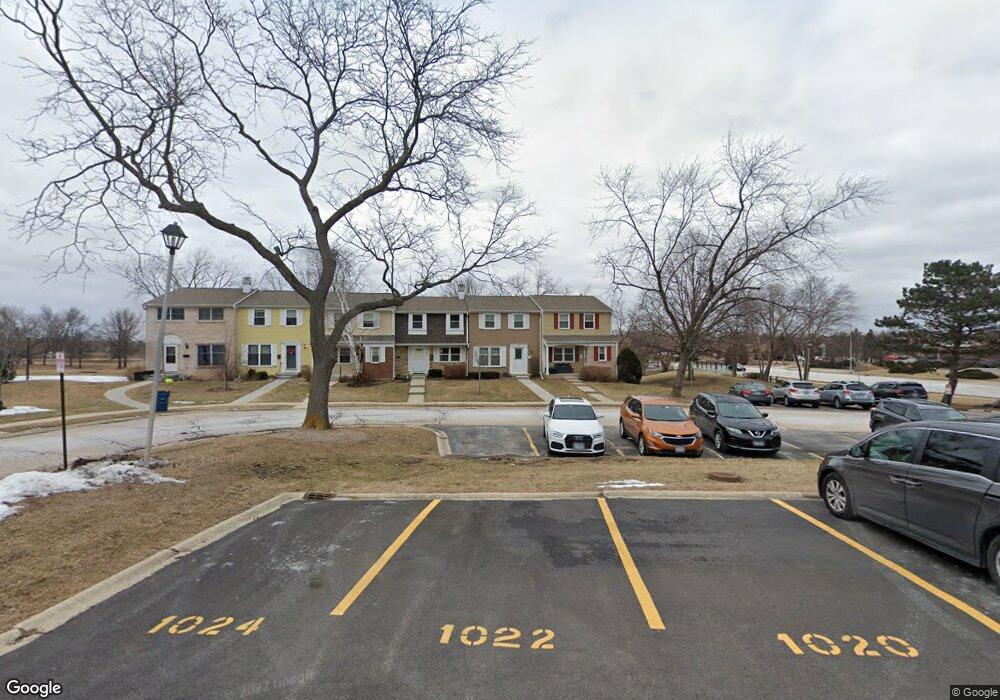
1034 Denham Place Unit 1 Schaumburg, IL 60194
West Schaumburg NeighborhoodEstimated Value: $211,000 - $306,000
3
Beds
2
Baths
1,380
Sq Ft
$201/Sq Ft
Est. Value
About This Home
This home is located at 1034 Denham Place Unit 1, Schaumburg, IL 60194 and is currently estimated at $276,898, approximately $200 per square foot. 1034 Denham Place Unit 1 is a home located in Cook County with nearby schools including Neil Armstrong Elementary School, Dwight D Eisenhower Junior High School, and Hoffman Estates High School.
Ownership History
Date
Name
Owned For
Owner Type
Purchase Details
Closed on
Feb 28, 2002
Sold by
Grande Peter A and Grande Dee R
Bought by
Brooks Cathy
Current Estimated Value
Home Financials for this Owner
Home Financials are based on the most recent Mortgage that was taken out on this home.
Original Mortgage
$99,750
Outstanding Balance
$37,427
Interest Rate
5.62%
Estimated Equity
$239,471
Purchase Details
Closed on
Feb 22, 2002
Sold by
Va
Bought by
Grande Peter A and Grande Dee
Home Financials for this Owner
Home Financials are based on the most recent Mortgage that was taken out on this home.
Original Mortgage
$99,750
Outstanding Balance
$37,427
Interest Rate
5.62%
Estimated Equity
$239,471
Create a Home Valuation Report for This Property
The Home Valuation Report is an in-depth analysis detailing your home's value as well as a comparison with similar homes in the area
Home Values in the Area
Average Home Value in this Area
Purchase History
| Date | Buyer | Sale Price | Title Company |
|---|---|---|---|
| Brooks Cathy | $105,000 | -- | |
| Grande Peter A | -- | -- |
Source: Public Records
Mortgage History
| Date | Status | Borrower | Loan Amount |
|---|---|---|---|
| Open | Brooks Cathy | $99,750 |
Source: Public Records
Tax History Compared to Growth
Tax History
| Year | Tax Paid | Tax Assessment Tax Assessment Total Assessment is a certain percentage of the fair market value that is determined by local assessors to be the total taxable value of land and additions on the property. | Land | Improvement |
|---|---|---|---|---|
| 2024 | $2,393 | $19,500 | $3,000 | $16,500 |
| 2023 | $2,390 | $19,500 | $3,000 | $16,500 |
| 2022 | $2,390 | $19,500 | $3,000 | $16,500 |
| 2021 | $2,666 | $15,479 | $2,835 | $12,644 |
| 2020 | $2,945 | $15,479 | $2,835 | $12,644 |
| 2019 | $2,950 | $17,199 | $2,835 | $14,364 |
| 2018 | $2,662 | $15,066 | $2,475 | $12,591 |
| 2017 | $3,448 | $15,066 | $2,475 | $12,591 |
| 2016 | $3,833 | $16,403 | $2,475 | $13,928 |
| 2015 | $3,223 | $13,423 | $2,160 | $11,263 |
| 2014 | $3,203 | $13,423 | $2,160 | $11,263 |
| 2013 | $3,103 | $13,423 | $2,160 | $11,263 |
Source: Public Records
Map
Nearby Homes
- 1020 Denham Place Unit 1
- 1912 Finchley Ct Unit 3
- 1103 Southbridge Ln
- 1121 Southbridge Ln
- 808 Bishop Ct Unit 2
- 1698 Pebble Beach Dr
- 1375 Rebecca Dr Unit 318
- 775 Harmon Blvd
- 1475 Rebecca Dr Unit 217
- 1475 Crowfoot Cir S
- 1901 Kingsley Dr
- 1415 N Oakmont Rd
- 700 N Hundley St
- 2216 Andover Ct
- 604 N Brookdale Dr
- 1685 Cornell Dr
- 1672 Cornell Dr
- 1763 Bristol Walk Unit 1763
- 1352 W Oakmont Rd
- 1365 Blair Ln
- 1036 Denham Place Unit 1
- 1030 Denham Place
- 1028 Denham Place Unit 1
- 1026 Denham Place Unit 1
- 1024 Denham Place
- 1022 Denham Place Unit I
- 1018 Denham Place Unit 1
- 1016 Denham Place
- 1014 Denham Place Unit 1
- 1017 Denham Place Unit 1
- 1015 Denham Place Unit 1
- 1013 Denham Place Unit 1
- 1010 Denham Place
- 1907 W Golf Rd
- 1909 W Golf Rd
- 1846 Lancashire Ct Unit 3
- 1846 Lancashire Ct Unit 1846
- 1846 Lancashire Ct Unit X
- 1846 Lancashire Ct Unit 819