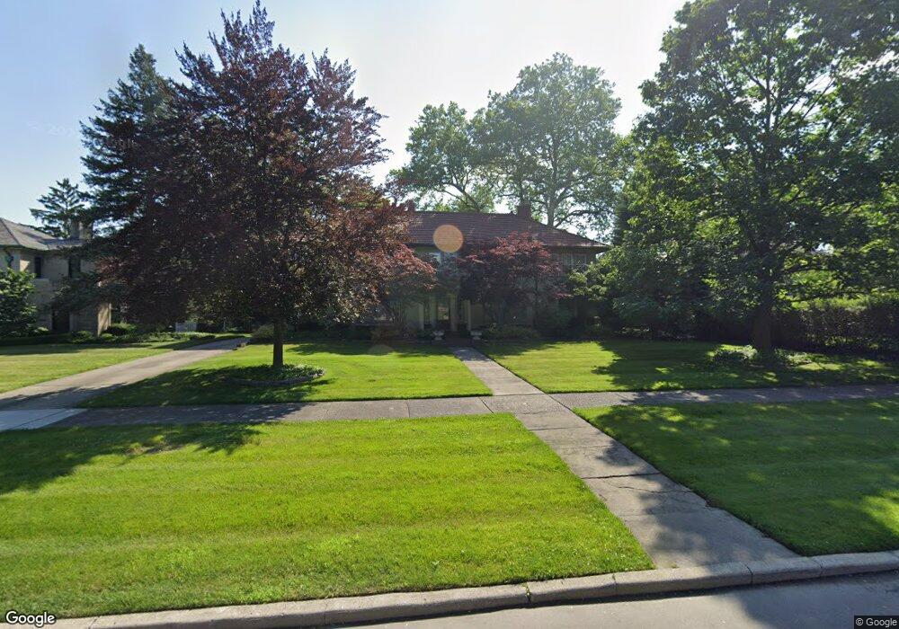
1034 Devonshire Rd Grosse Pointe Park, MI 48230
Estimated Value: $985,000 - $1,302,000
Studio
6
Baths
5,094
Sq Ft
$233/Sq Ft
Est. Value
About This Home
This home is located at 1034 Devonshire Rd, Grosse Pointe Park, MI 48230 and is currently estimated at $1,187,220, approximately $233 per square foot. 1034 Devonshire Rd is a home located in Wayne County with nearby schools including George Defer Elementary School, Pierce Middle School, and Grosse Pointe South High School.
Ownership History
Date
Name
Owned For
Owner Type
Purchase Details
Closed on
Aug 25, 2020
Sold by
Scillian Mary Corey and Scillian Devin
Bought by
Scillian Mary Corey and Scillian Devin
Current Estimated Value
Home Financials for this Owner
Home Financials are based on the most recent Mortgage that was taken out on this home.
Original Mortgage
$456,000
Interest Rate
2.8%
Mortgage Type
New Conventional
Create a Home Valuation Report for This Property
The Home Valuation Report is an in-depth analysis detailing your home's value as well as a comparison with similar homes in the area
Home Values in the Area
Average Home Value in this Area
Purchase History
| Date | Buyer | Sale Price | Title Company |
|---|---|---|---|
| Scillian Mary Corey | -- | None Available |
Source: Public Records
Mortgage History
| Date | Status | Borrower | Loan Amount |
|---|---|---|---|
| Closed | Scillian Mary Corey | $456,000 |
Source: Public Records
Tax History Compared to Growth
Tax History
| Year | Tax Paid | Tax Assessment Tax Assessment Total Assessment is a certain percentage of the fair market value that is determined by local assessors to be the total taxable value of land and additions on the property. | Land | Improvement |
|---|---|---|---|---|
| 2025 | $9,992 | $619,500 | $0 | $0 |
| 2024 | $9,618 | $595,200 | $0 | $0 |
| 2023 | $9,184 | $552,000 | $0 | $0 |
| 2022 | $8,725 | $512,300 | $0 | $0 |
| 2021 | $17,205 | $486,300 | $0 | $0 |
| 2019 | $17,705 | $454,700 | $0 | $0 |
| 2018 | $8,319 | $379,000 | $0 | $0 |
| 2017 | $17,923 | $321,400 | $0 | $0 |
| 2016 | $17,035 | $404,200 | $0 | $0 |
| 2015 | $31,133 | $372,700 | $0 | $0 |
| 2013 | $30,160 | $313,900 | $0 | $0 |
| 2012 | $8,673 | $326,800 | $82,700 | $244,100 |
Source: Public Records
Map
Nearby Homes
- 1003 Bedford Rd
- 1059 Berkshire Rd
- 1148 Devonshire Rd
- 835 Harcourt Rd
- 1131 Audubon Rd
- 814 Harcourt Rd Unit 816
- 1039 Somerset Ave
- 1032 Beaconsfield Ave
- 1206 Balfour St
- 74 Pointe Park Place Unit 311
- 54 Pointe Park Place Unit 208
- 976 Lakepointe St
- 26 Pointe Park Place Unit 303
- 1048 Lakepointe St Unit A
- 801 Park Ln
- 1083 Lakepointe St
- 1254 Beaconsfield Ave
- 1253 Grayton St
- 42 Cranford Ln
- 43 Cranford Ln
- 1036 Devonshire Rd
- 1020 Devonshire Rd
- 1019 Bedford Rd
- 1015 Bedford Rd
- 1023 Bedford Rd
- 1040 Devonshire Rd
- 1008 Devonshire Rd
- 1007 Bedford Rd
- 1027 Bedford Rd
- 1033 Devonshire Rd
- 1025 Devonshire Rd
- 1035 Devonshire Rd
- 1044 Devonshire Rd
- 1000 Devonshire Rd
- 1018 Bedford Rd
- 1005 Bedford Rd
- 1012 Bedford Rd
- 1022 Bedford Rd
- 1033 Bedford Rd
- 1039 Devonshire Rd