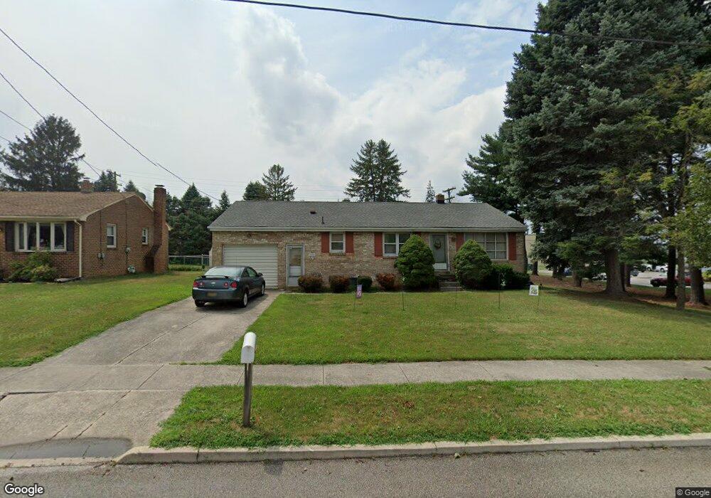
1034 High St Hanover, PA 17331
Hanover Historic District NeighborhoodEstimated Value: $262,000 - $273,000
3
Beds
1
Bath
1,260
Sq Ft
$211/Sq Ft
Est. Value
About This Home
This home is located at 1034 High St, Hanover, PA 17331 and is currently estimated at $265,894, approximately $211 per square foot. 1034 High St is a home located in York County with nearby schools including Clearview Elementary School, Washington Elementary School, and Hanover Middle School.
Ownership History
Date
Name
Owned For
Owner Type
Purchase Details
Closed on
Jan 29, 2008
Sold by
Nugent Kimberly Ann K
Bought by
Obrien Kevin J and Obrien Caralee K
Current Estimated Value
Home Financials for this Owner
Home Financials are based on the most recent Mortgage that was taken out on this home.
Original Mortgage
$123,200
Outstanding Balance
$78,278
Interest Rate
6.2%
Mortgage Type
Purchase Money Mortgage
Estimated Equity
$187,616
Create a Home Valuation Report for This Property
The Home Valuation Report is an in-depth analysis detailing your home's value as well as a comparison with similar homes in the area
Home Values in the Area
Average Home Value in this Area
Purchase History
| Date | Buyer | Sale Price | Title Company |
|---|---|---|---|
| Obrien Kevin J | $154,000 | None Available |
Source: Public Records
Mortgage History
| Date | Status | Borrower | Loan Amount |
|---|---|---|---|
| Open | Obrien Kevin J | $123,200 |
Source: Public Records
Tax History Compared to Growth
Tax History
| Year | Tax Paid | Tax Assessment Tax Assessment Total Assessment is a certain percentage of the fair market value that is determined by local assessors to be the total taxable value of land and additions on the property. | Land | Improvement |
|---|---|---|---|---|
| 2025 | $4,636 | $126,640 | $29,850 | $96,790 |
| 2024 | $4,601 | $126,640 | $29,850 | $96,790 |
| 2023 | $4,565 | $126,640 | $29,850 | $96,790 |
| 2022 | $4,510 | $126,640 | $29,850 | $96,790 |
| 2021 | $4,383 | $126,640 | $29,850 | $96,790 |
| 2020 | $4,383 | $126,640 | $29,850 | $96,790 |
| 2019 | $4,315 | $126,640 | $29,850 | $96,790 |
| 2018 | $4,235 | $126,640 | $29,850 | $96,790 |
| 2017 | $4,155 | $126,640 | $29,850 | $96,790 |
| 2016 | $0 | $126,640 | $29,850 | $96,790 |
| 2015 | -- | $126,640 | $29,850 | $96,790 |
| 2014 | -- | $126,640 | $29,850 | $96,790 |
Source: Public Records
Map
Nearby Homes
- 966 Mccosh St
- 201 Grant Dr
- 402 Deerfield Dr Unit 402
- 59 E Elm Ave
- 130 Sunset Ave
- 207 Mckinley Ave
- 564 N Franklin St
- 1012 W Elm Ave
- 248 Deguy Ave
- 463 4631/2 High St
- 228 Clearview Rd
- 270 Mckinley Ave
- 322 Fox Knoll Ct
- 222 Eichelberger St
- 213 Charles St
- 31 4th St
- 718 Linden Ave
- 215 N Stephen Place
- 376 Wilson Ave
- 85 South St