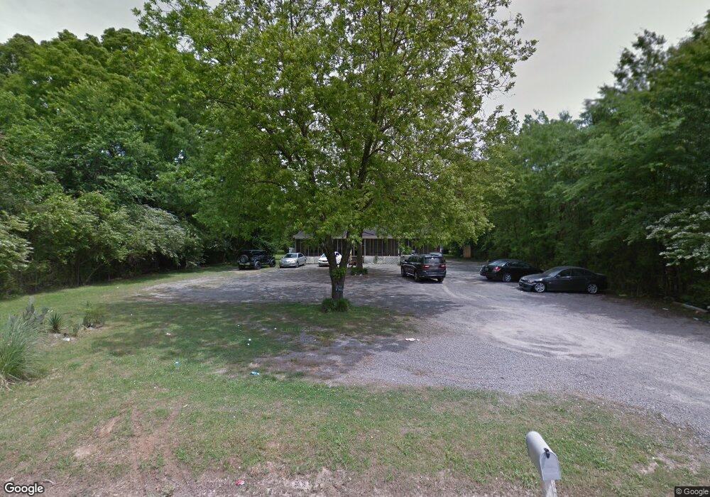
1034 Hoover Ave Decatur, AL 35601
Westmead NeighborhoodEstimated Value: $108,000 - $214,000
4
Beds
2
Baths
1,700
Sq Ft
$88/Sq Ft
Est. Value
About This Home
This home is located at 1034 Hoover Ave, Decatur, AL 35601 and is currently estimated at $149,353, approximately $87 per square foot. 1034 Hoover Ave is a home located in Morgan County with nearby schools including West Morgan Elementary School, West Morgan Middle School, and West Morgan High School.
Ownership History
Date
Name
Owned For
Owner Type
Purchase Details
Closed on
Sep 13, 2018
Sold by
Brinkley Vernor Jamar
Bought by
King Cameron and Huber Desmond
Current Estimated Value
Purchase Details
Closed on
Oct 17, 2017
Sold by
Sgf Enterprises
Bought by
Brinkley Vernon Jamar
Purchase Details
Closed on
Mar 18, 2011
Sold by
Smith Robert F and Smith Gerri D
Bought by
Sgf Enterprises Llc
Purchase Details
Closed on
Oct 26, 2010
Sold by
Sullivan Margaret E
Bought by
Wells Fargo Financial Alabama Inc
Create a Home Valuation Report for This Property
The Home Valuation Report is an in-depth analysis detailing your home's value as well as a comparison with similar homes in the area
Home Values in the Area
Average Home Value in this Area
Purchase History
| Date | Buyer | Sale Price | Title Company |
|---|---|---|---|
| King Cameron | $30,000 | None Available | |
| Brinkley Vernon Jamar | $14,000 | None Available | |
| Sgf Enterprises Llc | -- | None Available | |
| Wells Fargo Financial Alabama Inc | $49,400 | Rels Title |
Source: Public Records
Tax History Compared to Growth
Tax History
| Year | Tax Paid | Tax Assessment Tax Assessment Total Assessment is a certain percentage of the fair market value that is determined by local assessors to be the total taxable value of land and additions on the property. | Land | Improvement |
|---|---|---|---|---|
| 2024 | $371 | $4,960 | $630 | $4,330 |
| 2023 | $371 | $9,920 | $1,260 | $8,660 |
| 2022 | $371 | $9,920 | $1,260 | $8,660 |
| 2021 | $443 | $11,840 | $2,380 | $9,460 |
| 2020 | $323 | $11,840 | $2,380 | $9,460 |
| 2019 | $323 | $8,640 | $0 | $0 |
| 2015 | $275 | $7,400 | $0 | $0 |
| 2014 | $275 | $7,340 | $0 | $0 |
| 2013 | -- | $6,400 | $0 | $0 |
Source: Public Records
Map
Nearby Homes
- 2201 9th St
- 1218 Castleman Ave SW
- 2013 Moulton Heights Rd SW
- 1918 Montgomery St SW
- 1101 Terrehaute Ave SW
- 1208 Terrehaute Ave SW
- 1301 Terrehaute Ave SW
- 1617 Dandridge St SW
- 1929 Woodmead St SW
- 1902 Leeann St SW
- 1711 Wilshire Ave SW
- 7.5 Brownstone Ct SW
- 1922 Westmead St SW
- 1316 Terrehaute Ave SW
- 1827 N Brownstone Ct SW
- 1609 Runnymead Ave SW
- 1508 Faye St SW
- 1611 Runnymead Ave SW
- 1812 Brownstone Ave SW
- 2413 Gaslight Place SW
- 1027 Hoover Ave
- 1011 Hoover Ave
- 2023 8th St SW
- 2021 8th St SW
- 2019 8th St SW
- 1239 21st Ave
- 2204 8th St SW
- 2017 8th St SW
- 2022 Rutledge St SW
- 1201 Kathy Ln SW
- 1213 21st Ave SW
- 2109 Moulton Heights Rd SW
- 2015 8th St SW
- 2020 Rutledge St SW
- 1203 Kathy Ln SW
- 2018 Rutledge St SW
- 2013 8th St SW
- 2016 Rutledge St SW
- 1202 Kathy Ln SW
- 1205 Kathy Ln SW
