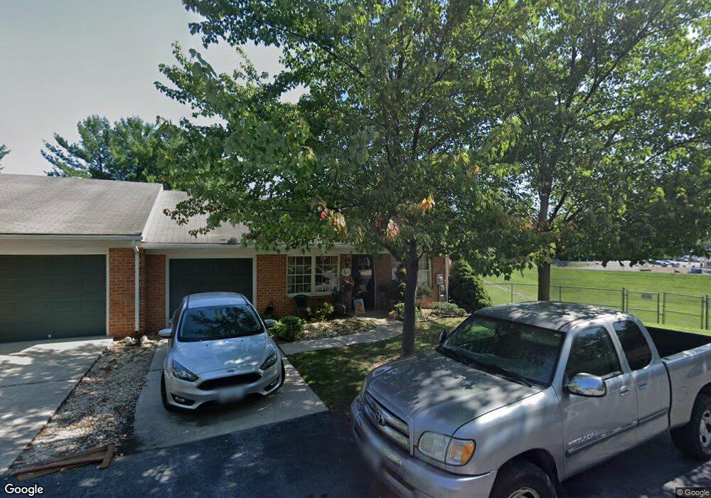
1034 Matthew Ct Hagerstown, MD 21742
Northwest Hagerstown NeighborhoodEstimated Value: $238,000 - $254,000
--
Bed
2
Baths
1,236
Sq Ft
$199/Sq Ft
Est. Value
About This Home
This home is located at 1034 Matthew Ct, Hagerstown, MD 21742 and is currently estimated at $245,882, approximately $198 per square foot. 1034 Matthew Ct is a home located in Washington County with nearby schools including Fountaindale Elementary School, Owendale-Gagetown Junior/Senior High School, and Western Heights Middle School.
Ownership History
Date
Name
Owned For
Owner Type
Purchase Details
Closed on
Feb 22, 2010
Sold by
Nuttall Barbara A
Bought by
Stowell Michael T and Stowell Christine E
Current Estimated Value
Purchase Details
Closed on
Aug 28, 1995
Sold by
West Irvin Hgts Inc
Bought by
Nutall Barbara A
Home Financials for this Owner
Home Financials are based on the most recent Mortgage that was taken out on this home.
Original Mortgage
$85,000
Interest Rate
7.32%
Create a Home Valuation Report for This Property
The Home Valuation Report is an in-depth analysis detailing your home's value as well as a comparison with similar homes in the area
Home Values in the Area
Average Home Value in this Area
Purchase History
| Date | Buyer | Sale Price | Title Company |
|---|---|---|---|
| Stowell Michael T | -- | -- | |
| Nutall Barbara A | $112,753 | -- |
Source: Public Records
Mortgage History
| Date | Status | Borrower | Loan Amount |
|---|---|---|---|
| Previous Owner | Nutall Barbara A | $85,000 |
Source: Public Records
Tax History Compared to Growth
Tax History
| Year | Tax Paid | Tax Assessment Tax Assessment Total Assessment is a certain percentage of the fair market value that is determined by local assessors to be the total taxable value of land and additions on the property. | Land | Improvement |
|---|---|---|---|---|
| 2025 | $1,678 | $206,300 | $40,000 | $166,300 |
| 2024 | $1,678 | $184,200 | $0 | $0 |
| 2023 | $1,477 | $162,100 | $0 | $0 |
| 2022 | $1,275 | $140,000 | $40,000 | $100,000 |
| 2021 | $1,240 | $136,600 | $0 | $0 |
| 2020 | $1,240 | $133,200 | $0 | $0 |
| 2019 | $1,214 | $129,800 | $40,000 | $89,800 |
| 2018 | $1,196 | $127,933 | $0 | $0 |
| 2017 | $1,179 | $126,067 | $0 | $0 |
| 2016 | -- | $124,200 | $0 | $0 |
| 2015 | -- | $124,200 | $0 | $0 |
| 2014 | $1,908 | $124,200 | $0 | $0 |
Source: Public Records
Map
Nearby Homes
- 1072 Kasinof Ave
- 1024 Kasinof Ave
- 1030 Benjamin Place
- 1019 Lindsay Ln
- 1029 Pennsylvania Ave
- 1123 Lindsay Ln
- 1050 Lindsay Ln
- 1026 Lindsay Ln
- 1259 Fairchild Ave
- 1108 W Irvin Ave
- 1202 Garst Ct
- 912 Mercer Dr
- 1221 Lindsay Ln
- 1181 Wayne Ave
- 1027 Florida Ave
- 809 Florida Ave
- 1007 Florida Ave
- 488 Mcdowell Ave
- 1305 Pennsylvania Ave
- 486 Mcdowell Ave
- 1036 Matthew Ct
- 1038 Matthew Ct
- 1040 Matthew Ct
- 935 W Irvin Ave
- 1026 Matthew Ct
- 1028 Matthew Ct
- 937 W Irvin Ave
- 1024 Matthew Ct
- 1058 Matthew Ct
- 1022 Matthew Ct
- 939 W Irvin Ave
- 1056 Matthew Ct
- 1020 Matthew Ct
- 1054 Matthew Ct
- 941 W Irvin Ave
- 1018 Matthew Ct
- 1052 Matthew Ct
- 1016 Matthew Ct
- 1050 Matthew Ct
- 933 W Irvin Ave