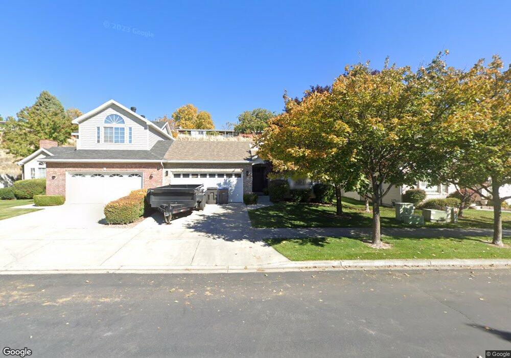
1034 N 1760 W Provo, UT 84604
Rivergrove NeighborhoodEstimated Value: $371,000 - $449,000
3
Beds
2
Baths
1,256
Sq Ft
$316/Sq Ft
Est. Value
About This Home
This home is located at 1034 N 1760 W, Provo, UT 84604 and is currently estimated at $396,365, approximately $315 per square foot. 1034 N 1760 W is a home located in Utah County with nearby schools including Westridge Elementary School, Dixon Middle School, and Provo High School.
Ownership History
Date
Name
Owned For
Owner Type
Purchase Details
Closed on
Feb 3, 2017
Sold by
Blake Patti Nichols
Bought by
Blake Patti Nichols
Current Estimated Value
Purchase Details
Closed on
Jun 10, 2011
Sold by
Nichols Patti Renee
Bought by
Blake Patti Nichols
Purchase Details
Closed on
Mar 23, 2001
Sold by
Georgetown Development Inc
Bought by
Funk Evelyn
Create a Home Valuation Report for This Property
The Home Valuation Report is an in-depth analysis detailing your home's value as well as a comparison with similar homes in the area
Home Values in the Area
Average Home Value in this Area
Purchase History
| Date | Buyer | Sale Price | Title Company |
|---|---|---|---|
| Blake Patti Nichols | -- | Accommodation | |
| Blake Patti Nichols | -- | American Preferred Title | |
| Funk Evelyn | -- | First American Title Ins Age |
Source: Public Records
Tax History Compared to Growth
Tax History
| Year | Tax Paid | Tax Assessment Tax Assessment Total Assessment is a certain percentage of the fair market value that is determined by local assessors to be the total taxable value of land and additions on the property. | Land | Improvement |
|---|---|---|---|---|
| 2025 | $1,923 | $360,100 | $69,000 | $291,100 |
| 2024 | $1,923 | $189,255 | $0 | $0 |
| 2023 | $1,945 | $188,760 | $0 | $0 |
| 2022 | $2,012 | $196,845 | $0 | $0 |
| 2021 | $1,601 | $273,200 | $70,000 | $203,200 |
| 2020 | $1,596 | $255,300 | $70,000 | $185,300 |
| 2019 | $1,509 | $251,000 | $70,000 | $181,000 |
| 2018 | $1,388 | $234,200 | $70,000 | $164,200 |
| 2017 | $1,211 | $112,310 | $0 | $0 |
| 2016 | $1,163 | $100,540 | $0 | $0 |
| 2015 | $1,108 | $96,800 | $0 | $0 |
| 2014 | $966 | $88,000 | $0 | $0 |
Source: Public Records
Map
Nearby Homes
- 962 Independence Ave
- 932 N 1760 W
- 2043 W 1100 N
- 2075 W 1080 N
- 1127 Independence Ave
- 1503 N 1980 W
- 2397 W 1160 N
- 1451 Arthur Dr
- 1471 W 1460 N
- 1454 Lancelot Dr Unit 6F
- 1375 W 1460 N
- 1616 N 2100 W
- 1383 N 1220 W
- 2216 W 480 N
- 2132 W 450 N
- 1662 N 2250 W
- 1682 N 2250 W
- 1188 W 1380 N
- 1679 N 2250 W
- 1525 N 1250 W