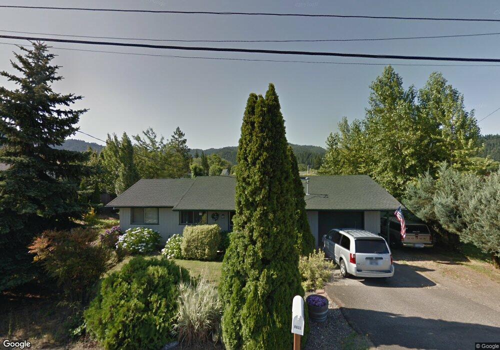
1034 SE Riverside Dr Myrtle Creek, OR 97457
Estimated Value: $267,000 - $289,000
3
Beds
1
Bath
1,040
Sq Ft
$264/Sq Ft
Est. Value
About This Home
This home is located at 1034 SE Riverside Dr, Myrtle Creek, OR 97457 and is currently estimated at $274,181, approximately $263 per square foot. 1034 SE Riverside Dr is a home located in Douglas County with nearby schools including South Umpqua High School.
Ownership History
Date
Name
Owned For
Owner Type
Purchase Details
Closed on
Jul 30, 2007
Sold by
Hall Timothy C
Bought by
Hall Timothy C and Hall Carol Joyce
Current Estimated Value
Home Financials for this Owner
Home Financials are based on the most recent Mortgage that was taken out on this home.
Original Mortgage
$139,200
Outstanding Balance
$88,134
Interest Rate
6.66%
Mortgage Type
Unknown
Estimated Equity
$186,047
Purchase Details
Closed on
Jun 21, 2005
Sold by
Drennen Roy C and Drennen Wilma
Bought by
Hall Tim and Hall Carol Joyce
Home Financials for this Owner
Home Financials are based on the most recent Mortgage that was taken out on this home.
Original Mortgage
$25,900
Interest Rate
5.72%
Mortgage Type
Stand Alone Second
Create a Home Valuation Report for This Property
The Home Valuation Report is an in-depth analysis detailing your home's value as well as a comparison with similar homes in the area
Home Values in the Area
Average Home Value in this Area
Purchase History
| Date | Buyer | Sale Price | Title Company |
|---|---|---|---|
| Hall Timothy C | -- | First American Title Ins Co | |
| Hall Timothy C | -- | First American Title Ins Co | |
| Hall Tim | $129,500 | Ticor Title |
Source: Public Records
Mortgage History
| Date | Status | Borrower | Loan Amount |
|---|---|---|---|
| Open | Hall Timothy C | $139,200 | |
| Previous Owner | Hall Tim | $25,900 | |
| Previous Owner | Hall Tim | $103,600 |
Source: Public Records
Tax History Compared to Growth
Tax History
| Year | Tax Paid | Tax Assessment Tax Assessment Total Assessment is a certain percentage of the fair market value that is determined by local assessors to be the total taxable value of land and additions on the property. | Land | Improvement |
|---|---|---|---|---|
| 2024 | $1,701 | $127,153 | -- | -- |
| 2023 | $1,651 | $123,450 | $0 | $0 |
| 2022 | $1,603 | $119,855 | $0 | $0 |
| 2021 | $1,556 | $116,365 | $0 | $0 |
| 2020 | $1,511 | $112,976 | $0 | $0 |
| 2019 | $1,467 | $109,686 | $0 | $0 |
| 2018 | $1,424 | $106,492 | $0 | $0 |
| 2017 | $1,383 | $103,391 | $0 | $0 |
| 2016 | $1,343 | $100,380 | $0 | $0 |
| 2015 | $1,303 | $97,457 | $0 | $0 |
| 2014 | $1,266 | $94,619 | $0 | $0 |
| 2013 | -- | $91,864 | $0 | $0 |
Source: Public Records
Map
Nearby Homes
- 195 NE Sandy Terrace
- 0 NE Simpson Ln Unit 734646510
- 231 Chestnut St
- 961 NE Broadway St
- 1357 NE Ballard Ct
- 650 SE Riverside Dr
- 455 Woody Ct
- 629 NE Johnson St
- 1682 Riverside Dr
- 1682 NE Riverside Dr
- 910 NE Leon Ave
- 119 Forest Rd
- 407 NE Waite St
- 206 NE Laurel Ave
- 186 NE Division St
- 217 SE Mill St
- 195 SE Mill St
- 769 NE Christian St
- 1056 NE Orchard Dr
- 728 NW Morrison Ave
- 1042 SE Riverside Dr
- 113 SE Neal Ln
- 115 SE Neal Ln
- 0 Elizabeth's Ct Unit 3 8001478
- 0 Elizabeth's Ct Unit 2 8001464
- 0 Elizabeth's Ct Unit 3 6108964
- 0 Elizabeth's Ct Unit 2 6108954
- 126 SE Elizabeths Ct
- 1014 NE Lisa Way
- 1032 NE Lisa Way
- 1064 SE Riverside Dr
- 1056 NE Lisa Way
- 116 Darcie Way
- 0 SE Neal Ln
- 932 SE Riverside Dr
- 135 SE Neal Ln
- 154 SE Elizabeths Ct
- 112 SE Stevenson Ave
- 1064 NE Lisa Way
- 118 SE Stevenson Ave