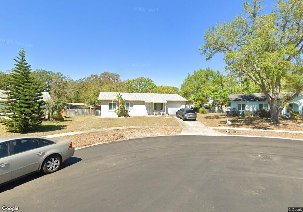
1034 Tompkins Dr Port Orange, FL 32129
North Port Orange NeighborhoodEstimated Value: $224,656 - $266,000
3
Beds
2
Baths
918
Sq Ft
$261/Sq Ft
Est. Value
About This Home
This home is located at 1034 Tompkins Dr, Port Orange, FL 32129 and is currently estimated at $239,164, approximately $260 per square foot. 1034 Tompkins Dr is a home located in Volusia County with nearby schools including Atlantic High School, Sugar Mill Elementary School, and Silver Sands Middle School.
Ownership History
Date
Name
Owned For
Owner Type
Purchase Details
Closed on
Oct 29, 2025
Sold by
Howard A A and Howard Gowell A
Bought by
Lejeune Angela Renee and Howard Torrian Lejeune
Current Estimated Value
Purchase Details
Closed on
Nov 2, 2001
Sold by
Dearduff Theresa I
Bought by
Howard Angela Lejuene
Home Financials for this Owner
Home Financials are based on the most recent Mortgage that was taken out on this home.
Original Mortgage
$80,200
Interest Rate
6.67%
Mortgage Type
FHA
Purchase Details
Closed on
Apr 19, 1995
Sold by
Dearduff Jeffrey E and Dearduff Julie
Bought by
Dearduff Theresa I
Purchase Details
Closed on
Sep 15, 1980
Bought by
Howard Angela Lejeune
Create a Home Valuation Report for This Property
The Home Valuation Report is an in-depth analysis detailing your home's value as well as a comparison with similar homes in the area
Home Values in the Area
Average Home Value in this Area
Purchase History
| Date | Buyer | Sale Price | Title Company |
|---|---|---|---|
| Lejeune Angela Renee | $100 | None Listed On Document | |
| Howard Angela Lejuene | $80,900 | -- | |
| Dearduff Theresa I | -- | -- | |
| Howard Angela Lejeune | $39,500 | -- |
Source: Public Records
Mortgage History
| Date | Status | Borrower | Loan Amount |
|---|---|---|---|
| Previous Owner | Howard Angela Lejuene | $80,200 |
Source: Public Records
Tax History
| Year | Tax Paid | Tax Assessment Tax Assessment Total Assessment is a certain percentage of the fair market value that is determined by local assessors to be the total taxable value of land and additions on the property. | Land | Improvement |
|---|---|---|---|---|
| 2026 | $712 | $73,551 | -- | -- |
| 2025 | $712 | $73,551 | -- | -- |
| 2024 | $673 | $71,479 | -- | -- |
| 2023 | $673 | $69,398 | $0 | $0 |
| 2022 | $651 | $67,377 | $0 | $0 |
| 2021 | $672 | $65,415 | $0 | $0 |
| 2020 | $663 | $64,512 | $0 | $0 |
| 2019 | $653 | $63,062 | $0 | $0 |
| 2018 | $1,941 | $97,270 | $17,971 | $79,299 |
| 2017 | $668 | $60,613 | $0 | $0 |
| 2016 | $665 | $59,366 | $0 | $0 |
| 2015 | $685 | $58,953 | $0 | $0 |
| 2014 | $690 | $58,485 | $0 | $0 |
Source: Public Records
Map
Nearby Homes
- 722 Rampart Dr
- 742 Larado Dr
- 770 Rolling Hills Dr
- 771 Greenfield Dr
- 1007 Tompkins Dr
- 778 Greenfield Dr
- 743 Cricket Ct
- 172 Brandy Hills Dr
- 93 Glass Ct
- 151 Brandy Hills Dr
- 748 Indian Hill Dr
- 176 Windsor Dr
- 721 La Grange Ave
- 178 Windsor Dr
- 169 Windsor Dr
- 121 Aloha Terrace
- 176 Sand Pebble Cir
- 146 Berkley Cir Unit 146
- 177 Iron Gate Cir
- 112 Barefoot Trail
- 1032 Tompkins Dr
- 4563 Hoyt Dr
- 4565 Hoyt Dr
- 1030 Tompkins Dr
- 1038 Tompkins Dr
- 1405 Minkoff Dr
- 716 Rampart Dr
- 1033 Tompkins Dr
- 4567 Hoyt Dr
- 1028 Tompkins Dr
- 714 Rampart Dr
- 1040 Tompkins Dr
- 726 Rampart Dr
- 1407 Minkoff Dr
- 4566 Hoyt Dr
- 1027 Tompkins Dr
- 4569 Hoyt Dr
- 1026 Tompkins Dr
- 780 Rolling Hills Dr
- 728 Rampart Dr
Your Personal Tour Guide
Ask me questions while you tour the home.