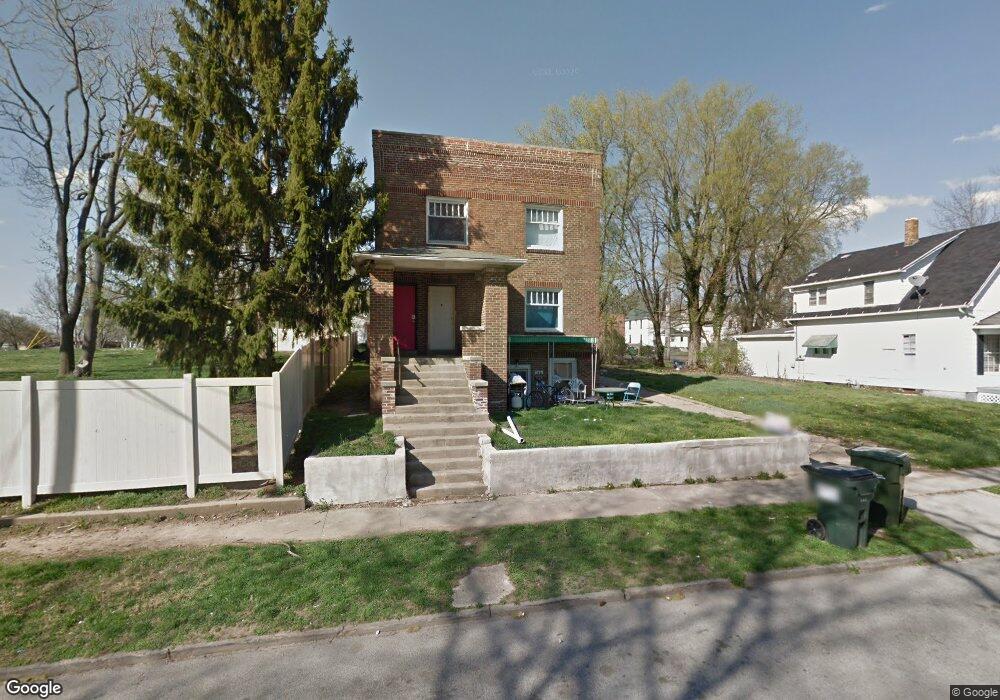
1034 W Macon St Decatur, IL 62522
Near West NeighborhoodEstimated Value: $51,000 - $84,000
5
Beds
3
Baths
1,075
Sq Ft
$65/Sq Ft
Est. Value
About This Home
This home is located at 1034 W Macon St, Decatur, IL 62522 and is currently estimated at $70,333, approximately $65 per square foot. 1034 W Macon St is a home located in Macon County with nearby schools including Dennis Lab School, St. Patrick School, and Teen Challenge-Home For Girls.
Ownership History
Date
Name
Owned For
Owner Type
Purchase Details
Closed on
Oct 7, 2015
Sold by
Toussaint Robert C and Toussaint Thea U
Bought by
Sapp Joseph L
Current Estimated Value
Home Financials for this Owner
Home Financials are based on the most recent Mortgage that was taken out on this home.
Original Mortgage
$20,000
Interest Rate
3.91%
Mortgage Type
Future Advance Clause Open End Mortgage
Purchase Details
Closed on
Apr 1, 2002
Create a Home Valuation Report for This Property
The Home Valuation Report is an in-depth analysis detailing your home's value as well as a comparison with similar homes in the area
Home Values in the Area
Average Home Value in this Area
Purchase History
| Date | Buyer | Sale Price | Title Company |
|---|---|---|---|
| Sapp Joseph L | $15,000 | None Available | |
| -- | $27,500 | -- |
Source: Public Records
Mortgage History
| Date | Status | Borrower | Loan Amount |
|---|---|---|---|
| Closed | Sapp Joseph L | $20,000 |
Source: Public Records
Tax History Compared to Growth
Tax History
| Year | Tax Paid | Tax Assessment Tax Assessment Total Assessment is a certain percentage of the fair market value that is determined by local assessors to be the total taxable value of land and additions on the property. | Land | Improvement |
|---|---|---|---|---|
| 2024 | $2,409 | $24,886 | $1,939 | $22,947 |
| 2023 | $2,389 | $24,005 | $1,870 | $22,135 |
| 2022 | $954 | $9,328 | $1,450 | $7,878 |
| 2021 | $896 | $8,711 | $1,354 | $7,357 |
| 2020 | $883 | $8,307 | $1,291 | $7,016 |
| 2019 | $883 | $8,307 | $1,291 | $7,016 |
| 2018 | $876 | $8,334 | $1,295 | $7,039 |
| 2017 | $2,033 | $19,405 | $1,330 | $18,075 |
| 2016 | $2,071 | $19,603 | $1,344 | $18,259 |
| 2015 | $1,968 | $19,256 | $1,320 | $17,936 |
| 2014 | $1,841 | $19,065 | $1,307 | $17,758 |
| 2013 | $1,888 | $19,781 | $1,356 | $18,425 |
Source: Public Records
Map
Nearby Homes
- 1005 W Main St
- 899 W Main St
- 958 W William St
- 657 W Wood St
- 712 W Main St
- 612 W Macon St
- 617 W Decatur St
- 254 N Pine St
- 650 S Crea St
- 628 W Forest Ave
- 636 S Sycamore St
- 609 W William St
- 1391 W Decatur St
- 426 S Mcclellan St
- 437 Powers Ln
- 450 W Macon St
- 440 W Macon St
- 452 W Prairie Ave
- 442 W Prairie Ave
- 1448 W Forest Ave
- 1026 W Macon St
- 1039 W Macon St
- 1023 W Macon St
- 1033 W Macon St
- 1049 W Macon St
- 1022 W Macon St
- 1059 W Macon St
- 1055 W Macon St
- 1037 W Wood St
- 1012 W Macon St
- 1043 W Wood St
- 1063 W Macon St
- 1002 W Macon St
- 237 S Haworth Ave
- 1013 W Wood St
- 1071 W Macon St
- 1034 W Decatur St
- 1038 W Decatur St
- 1042 W Decatur St
- 1026 W Decatur St