10342 168th Ave Bristol, WI 53104
Estimated Value: $359,000 - $506,000
3
Beds
1
Bath
1,232
Sq Ft
$336/Sq Ft
Est. Value
About This Home
This home is located at 10342 168th Ave, Bristol, WI 53104 and is currently estimated at $413,803, approximately $335 per square foot. 10342 168th Ave is a home located in Kenosha County with nearby schools including Bristol Elementary School and Central High School.
Ownership History
Date
Name
Owned For
Owner Type
Purchase Details
Closed on
Nov 30, 2017
Sold by
Laney Sharon R De
Bought by
Skrzynecki Kevin P and Skrzynecki Kelsey M
Current Estimated Value
Home Financials for this Owner
Home Financials are based on the most recent Mortgage that was taken out on this home.
Original Mortgage
$217,500
Outstanding Balance
$183,116
Interest Rate
3.94%
Mortgage Type
New Conventional
Estimated Equity
$230,687
Purchase Details
Closed on
Sep 22, 2008
Sold by
Delaney Normaai J
Bought by
Delaney Sharon R
Create a Home Valuation Report for This Property
The Home Valuation Report is an in-depth analysis detailing your home's value as well as a comparison with similar homes in the area
Home Values in the Area
Average Home Value in this Area
Purchase History
| Date | Buyer | Sale Price | Title Company |
|---|---|---|---|
| Skrzynecki Kevin P | -- | -- | |
| Delaney Sharon R | $253,000 | -- |
Source: Public Records
Mortgage History
| Date | Status | Borrower | Loan Amount |
|---|---|---|---|
| Open | Skrzynecki Kevin P | $217,500 |
Source: Public Records
Tax History Compared to Growth
Tax History
| Year | Tax Paid | Tax Assessment Tax Assessment Total Assessment is a certain percentage of the fair market value that is determined by local assessors to be the total taxable value of land and additions on the property. | Land | Improvement |
|---|---|---|---|---|
| 2024 | $4,396 | $236,800 | $120,000 | $116,800 |
| 2023 | $3,724 | $236,800 | $120,000 | $116,800 |
| 2022 | $3,746 | $236,800 | $120,000 | $116,800 |
| 2021 | $3,700 | $236,800 | $120,000 | $116,800 |
| 2020 | $3,880 | $236,800 | $120,000 | $116,800 |
| 2019 | $3,651 | $236,800 | $120,000 | $116,800 |
| 2018 | $3,669 | $194,900 | $100,000 | $94,900 |
| 2017 | $3,873 | $194,900 | $100,000 | $94,900 |
| 2016 | $3,802 | $194,900 | $100,000 | $94,900 |
| 2015 | $3,554 | $194,900 | $100,000 | $94,900 |
| 2014 | -- | $194,900 | $100,000 | $94,900 |
Source: Public Records
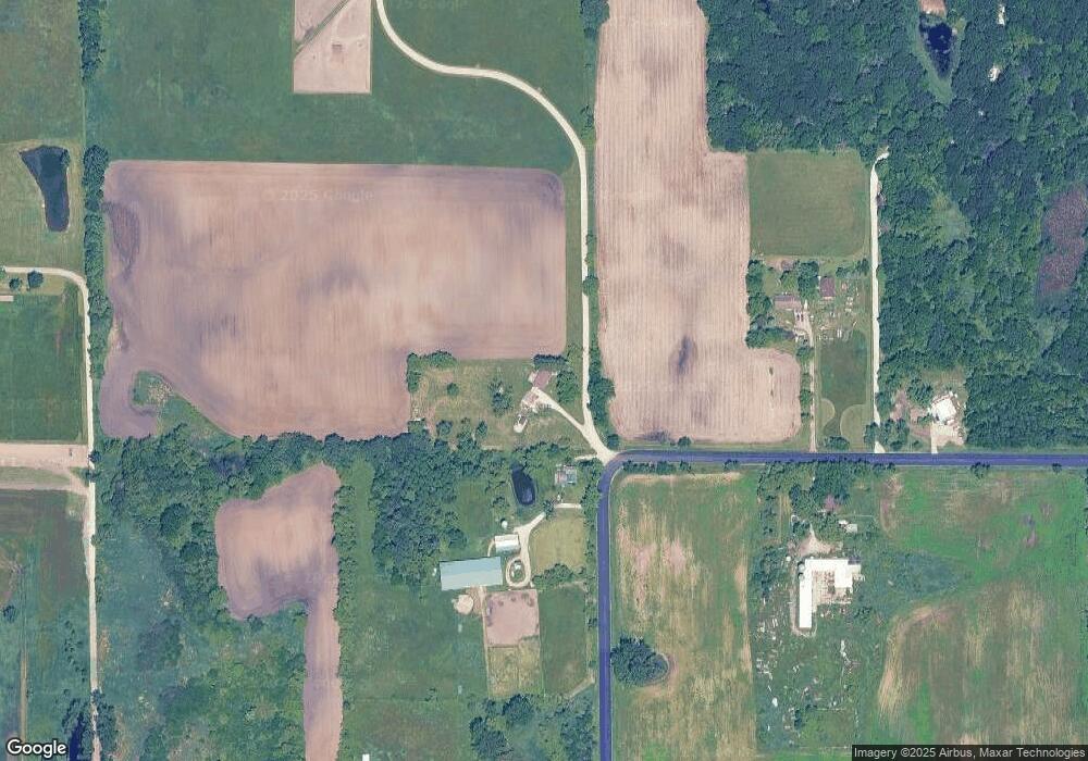
Map
Nearby Homes
- 18290 Winfield Rd
- 18828 116th St
- 11944 187th Ave
- Lt0 128th St
- 18939 W State Line Rd
- 18863 W State Line Rd
- 12031 136th Ave
- 19900 128th St Unit 210
- 19900 128th St Unit 70
- 19900 128th St Unit 124
- 19900 128th St Unit 150
- 19900 128th St Unit 317
- 19900 128th St Unit 39
- 19900 128th St Unit 44
- 19900 128th St Unit 121
- 16422 82nd St
- Lt0 87th St
- 0 83rd St Unit MRD12131806
- 42751 N Sheridan Oaks Dr
- 7821 120th Ave
- 10342 168th Ave
- 16520 104th St
- 16901 Winfield Rd
- 17200 Winfield Rd
- 17200 Winfield Rd
- 17211 Winfield Rd
- 17206 Winfield Rd
- 17320 Winfield Rd
- 10306 160th Ave
- 17414 Winfield Rd
- 17414 Winfield Rd
- 10197 160th Ave
- 10197 160th Ave
- 10197 County Highway M B
- 15680 104th St
- 10135 160th Ave
- 10135 160th Ave
- 17705 Winfield Rd
- 17705 Winfield Rd
- 9918 160th Ave