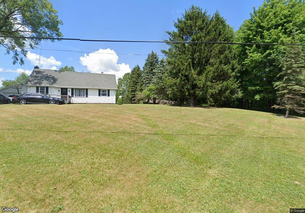
10345 Beech St NE Alliance, OH 44601
Estimated Value: $495,000 - $579,907
2
Beds
3
Baths
2,400
Sq Ft
$220/Sq Ft
Est. Value
About This Home
This home is located at 10345 Beech St NE, Alliance, OH 44601 and is currently estimated at $526,969, approximately $219 per square foot. 10345 Beech St NE is a home located in Stark County with nearby schools including Louisville High School.
Ownership History
Date
Name
Owned For
Owner Type
Purchase Details
Closed on
Feb 10, 2023
Sold by
Zwick Richard
Bought by
Zwick Kim A
Current Estimated Value
Purchase Details
Closed on
Aug 19, 2015
Sold by
Zwick Richard
Bought by
Zwick Richard and Heilman Kim A
Purchase Details
Closed on
Feb 8, 2011
Sold by
Mccracken Deborah A and Lanza Robert J
Bought by
Zwick Richard A
Purchase Details
Closed on
Feb 20, 1996
Sold by
Schrader Bernice
Bought by
Mccracken Deborah H and Lanza Robert J
Create a Home Valuation Report for This Property
The Home Valuation Report is an in-depth analysis detailing your home's value as well as a comparison with similar homes in the area
Home Values in the Area
Average Home Value in this Area
Purchase History
| Date | Buyer | Sale Price | Title Company |
|---|---|---|---|
| Zwick Kim A | -- | -- | |
| Zwick Richard | -- | Attorney | |
| Zwick Richard A | $238,000 | Attorney | |
| Mccracken Deborah H | $45,236 | -- |
Source: Public Records
Tax History Compared to Growth
Tax History
| Year | Tax Paid | Tax Assessment Tax Assessment Total Assessment is a certain percentage of the fair market value that is determined by local assessors to be the total taxable value of land and additions on the property. | Land | Improvement |
|---|---|---|---|---|
| 2025 | -- | $176,090 | $42,180 | $133,910 |
| 2024 | -- | $175,360 | $42,180 | $133,180 |
| 2023 | $6,257 | $127,930 | $23,910 | $104,020 |
| 2022 | $6,263 | $127,930 | $23,910 | $104,020 |
| 2021 | $5,780 | $117,640 | $23,910 | $93,730 |
| 2020 | $3,966 | $85,580 | $19,360 | $66,220 |
| 2019 | $3,983 | $85,590 | $19,360 | $66,230 |
| 2018 | $3,971 | $85,590 | $19,360 | $66,230 |
| 2017 | $3,667 | $75,440 | $17,090 | $58,350 |
| 2016 | $3,344 | $70,330 | $17,090 | $53,240 |
| 2015 | $3,334 | $70,330 | $17,090 | $53,240 |
| 2014 | $1,321 | $64,830 | $15,750 | $49,080 |
| 2013 | $1,662 | $64,830 | $15,750 | $49,080 |
Source: Public Records
Map
Nearby Homes
- 0 Reeder Ave NE
- 0 Moulin Ave NE
- 5990 Meese Rd NE
- 7844 Morningstar Dr
- 5765 Maplegrove St
- 0 Valewood Cir Unit 5006281
- 2435 Queensbury Rd
- 2851 Patriots Path Unit 3D
- 6052 N Nickelplate St
- 6109 Oakhill Ave NE
- 2377 Ansley St Unit 2377
- 12222 Cenfield St NE
- 5495 Meese Rd NE
- 0 Easton St NE
- 10666 Wilma Ave NE
- 1430 Westwood Ave
- 2081 Marwood Cir
- 0 Winchester St
- 0 Winchester St Unit 5162877
- 13334 Cindy St NE
- 10269 Beech St NE
- 10349 Beech St NE
- 10443 Beech St NE
- 10204 Beech St NE
- 10340 Beech St NE
- 10416 Beech St NE
- 10481 Beech St NE
- 10388 Beech St NE
- 10563 Beech St NE
- 10595 Kilmarnock Rd NE
- 10650 Beech St NE
- 10661 Kilmarnock Rd NE
- 9945 Beech St
- 9921 Beech St
- 10685 Beech St NE
- 0 Beech St NE Unit 3643090
- 0 Beech St NE Unit 3683138
- 0 Beech St NE Unit 5113138
- 0 Beech St NE Unit 5028504
- 0 Beech St NE Unit 4479401