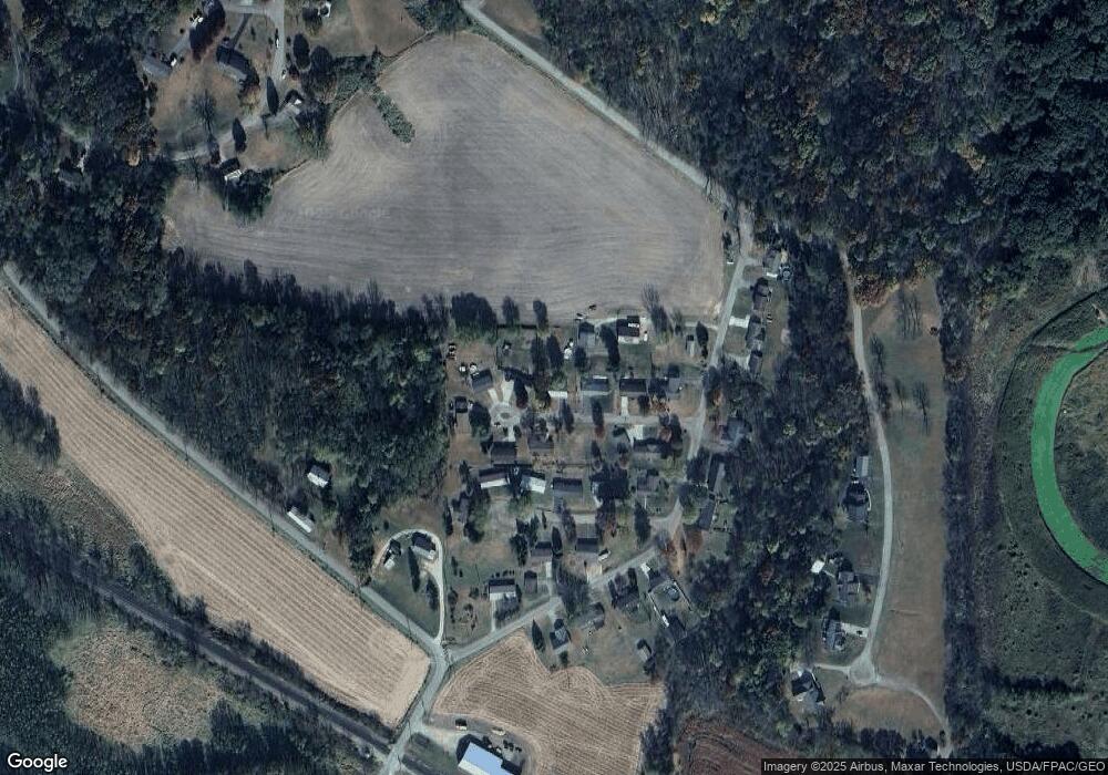
10347 Brenda Savanna, IL 61074
Estimated Value: $157,338 - $189,000
3
Beds
3
Baths
1,836
Sq Ft
$94/Sq Ft
Est. Value
About This Home
This home is located at 10347 Brenda, Savanna, IL 61074 and is currently estimated at $172,585, approximately $94 per square foot. 10347 Brenda is a home located in Carroll County.
Ownership History
Date
Name
Owned For
Owner Type
Purchase Details
Closed on
May 27, 2021
Sold by
Wills Steven J and Wills Sierra D
Bought by
Gonyier Eugene R
Current Estimated Value
Home Financials for this Owner
Home Financials are based on the most recent Mortgage that was taken out on this home.
Original Mortgage
$103,200
Outstanding Balance
$93,580
Interest Rate
3%
Mortgage Type
Construction
Estimated Equity
$79,005
Purchase Details
Closed on
Mar 9, 2015
Sold by
Jacob Engaldo
Bought by
Willis Steven J and Morhardt Sierra D
Home Financials for this Owner
Home Financials are based on the most recent Mortgage that was taken out on this home.
Original Mortgage
$104,500
Interest Rate
4.37%
Mortgage Type
New Conventional
Create a Home Valuation Report for This Property
The Home Valuation Report is an in-depth analysis detailing your home's value as well as a comparison with similar homes in the area
Home Values in the Area
Average Home Value in this Area
Purchase History
| Date | Buyer | Sale Price | Title Company |
|---|---|---|---|
| Gonyier Eugene R | $115,000 | Attorney Only | |
| Willis Steven J | $110,600 | -- |
Source: Public Records
Mortgage History
| Date | Status | Borrower | Loan Amount |
|---|---|---|---|
| Open | Gonyier Eugene R | $103,200 | |
| Previous Owner | Willis Steven J | $104,500 |
Source: Public Records
Tax History Compared to Growth
Tax History
| Year | Tax Paid | Tax Assessment Tax Assessment Total Assessment is a certain percentage of the fair market value that is determined by local assessors to be the total taxable value of land and additions on the property. | Land | Improvement |
|---|---|---|---|---|
| 2024 | $3,201 | $45,391 | $4,636 | $40,755 |
| 2023 | $3,201 | $39,470 | $4,031 | $35,439 |
| 2022 | $2,791 | $37,422 | $4,031 | $33,391 |
| 2021 | $2,570 | $34,332 | $3,698 | $30,634 |
| 2020 | $2,553 | $34,332 | $3,698 | $30,634 |
| 2019 | $2,595 | $34,332 | $3,698 | $30,634 |
| 2018 | $2,491 | $33,218 | $3,698 | $29,520 |
| 2017 | $2,251 | $31,047 | $3,457 | $27,590 |
| 2016 | $2,249 | $30,141 | $3,356 | $26,785 |
| 2015 | $2,240 | $30,141 | $3,356 | $26,785 |
| 2014 | $2,437 | $30,511 | $3,543 | $26,968 |
| 2013 | $2,437 | $31,783 | $3,691 | $28,092 |
Source: Public Records
Map
Nearby Homes
- 704 Spruce St
- 702 Eaton St
- 1012 Viaduct Rd
- 618 Poplar St
- 1816 Ontario Ave
- 1801 Superior Ave
- 1611 Portland Ave
- 926 Viaduct Rd
- 206 Viaduct Rd
- 1902 Chicago Ave
- 1407 Hawthorne Ave
- 708 Bowen St
- 111 N Park St
- 106 Grant St
- TBD Bowen St
- 6 S 6th St
- 512-514 Chicago Ave
- 14 Keller St
- 434 Chicago Ave
- 124 Milwaukee St
