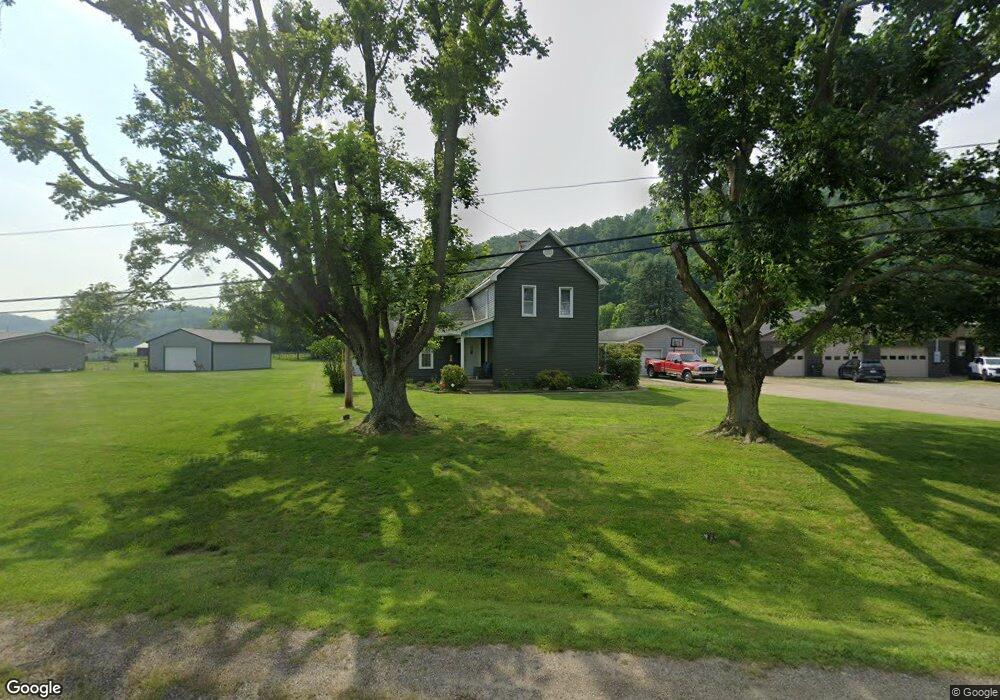
10348 State Route 36 SW Port Washington, OH 43837
Estimated Value: $167,000 - $183,000
2
Beds
1
Bath
1,784
Sq Ft
$96/Sq Ft
Est. Value
About This Home
This home is located at 10348 State Route 36 SW, Port Washington, OH 43837 and is currently estimated at $171,917, approximately $96 per square foot. 10348 State Route 36 SW is a home located in Tuscarawas County with nearby schools including Port Washington Elementary School, Tuscarawas Middle School, and Indian Valley High School.
Ownership History
Date
Name
Owned For
Owner Type
Purchase Details
Closed on
Nov 2, 2012
Sold by
Bowe M Bryan and Bowe Randy A
Bought by
Herbert Chloa M and Barkehimer Joseph E
Current Estimated Value
Home Financials for this Owner
Home Financials are based on the most recent Mortgage that was taken out on this home.
Original Mortgage
$66,500
Outstanding Balance
$46,213
Interest Rate
3.51%
Mortgage Type
Future Advance Clause Open End Mortgage
Estimated Equity
$125,704
Purchase Details
Closed on
Jul 23, 2012
Sold by
Bowe Joyce M
Bought by
Bowe M Bryan and Bowe Randy A
Create a Home Valuation Report for This Property
The Home Valuation Report is an in-depth analysis detailing your home's value as well as a comparison with similar homes in the area
Home Values in the Area
Average Home Value in this Area
Purchase History
| Date | Buyer | Sale Price | Title Company |
|---|---|---|---|
| Herbert Chloa M | $70,000 | None Available | |
| Bowe M Bryan | -- | None Available |
Source: Public Records
Mortgage History
| Date | Status | Borrower | Loan Amount |
|---|---|---|---|
| Open | Herbert Chloa M | $66,500 |
Source: Public Records
Tax History Compared to Growth
Tax History
| Year | Tax Paid | Tax Assessment Tax Assessment Total Assessment is a certain percentage of the fair market value that is determined by local assessors to be the total taxable value of land and additions on the property. | Land | Improvement |
|---|---|---|---|---|
| 2024 | $1,302 | $34,550 | $7,270 | $27,280 |
| 2023 | $1,302 | $98,730 | $20,780 | $77,950 |
| 2022 | $1,242 | $34,556 | $7,273 | $27,283 |
| 2021 | $1,097 | $28,865 | $5,789 | $23,076 |
| 2020 | $1,109 | $28,865 | $5,789 | $23,076 |
| 2019 | $1,115 | $28,865 | $5,789 | $23,076 |
| 2018 | $1,120 | $27,590 | $5,530 | $22,060 |
| 2017 | $1,122 | $27,590 | $5,530 | $22,060 |
| 2016 | $1,127 | $27,590 | $5,530 | $22,060 |
| 2014 | $1,074 | $25,480 | $4,070 | $21,410 |
| 2013 | $1,060 | $25,480 | $4,070 | $21,410 |
Source: Public Records
Map
Nearby Homes
- 207 S Saint Clairsville Rd
- 5043 Frys Valley Rd SW
- 1188 Frys Valley Rd SW
- 482 Lock Seventeen Rd SE
- 0 Twy Highway 116
- 4980 Beagle Club Rd
- 6518 Stonecreek Rd SW
- 1394 Sharon Valley Rd SW
- 236 N Plum St
- 6599 Buckhorn Rd
- 9375 Ridge Rd SE
- 5223 Kinsey Valley Rd SW
- 6075 E State Rd
- 6176 Scott Rd SW
- 6599 State Route 751 SW
- 0 Scott Dr
- 120 Hickory St
- 145 Chapman Ave
- 134 Chapman Ave
- 137 Downs Ave
- 10408 State Route 36 SW
- 10372 State Route 36 SW
- 10438 State Route 36 SW
- 10318 State Route 36 SW
- 10450 State Route 36 SW
- 10468 State Route 36 SW
- 10512 State Route 36 SW
- 10526 State Route 36 SW
- 0 State Route 36
- 10534 State Route 36 SW
- 404 E Main St
- 2826 Maple Leaf Dr SW
- 109 Bremer St
- 400 E Main St
- 400 E Main St
- 111 Bremer St
- 113 Bremer St
- 401 E Arch St
- 110 Bremer St
- 108 Bremer St