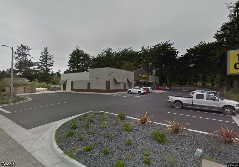
1035 2nd St NE Bandon, OR 97411
Estimated Value: $3,902,121
--
Bed
--
Bath
700
Sq Ft
$5,574/Sq Ft
Est. Value
About This Home
This home is located at 1035 2nd St NE, Bandon, OR 97411 and is currently estimated at $3,902,121, approximately $5,574 per square foot. 1035 2nd St NE is a home located in Coos County with nearby schools including Ocean Crest Elementary School, Harbor Lights Middle School, and Bandon Senior High School.
Ownership History
Date
Name
Owned For
Owner Type
Purchase Details
Closed on
Dec 19, 2017
Sold by
Cd Dg Bandon Llc
Bought by
Gilsdorf Judy A and Judy A Gilsdorg Trust
Current Estimated Value
Home Financials for this Owner
Home Financials are based on the most recent Mortgage that was taken out on this home.
Original Mortgage
$1,020,000
Interest Rate
3.95%
Mortgage Type
Commercial
Purchase Details
Closed on
May 9, 2016
Sold by
Wallace Carol
Bought by
Becker Beverly and Carol Wallace Revocable Living Trust
Create a Home Valuation Report for This Property
The Home Valuation Report is an in-depth analysis detailing your home's value as well as a comparison with similar homes in the area
Home Values in the Area
Average Home Value in this Area
Purchase History
| Date | Buyer | Sale Price | Title Company |
|---|---|---|---|
| Gilsdorf Judy A | $2,092,800 | Ticor Title Co | |
| Becker Beverly | -- | None Available |
Source: Public Records
Mortgage History
| Date | Status | Borrower | Loan Amount |
|---|---|---|---|
| Closed | Gilsdorf Judy A | $1,020,000 |
Source: Public Records
Tax History Compared to Growth
Tax History
| Year | Tax Paid | Tax Assessment Tax Assessment Total Assessment is a certain percentage of the fair market value that is determined by local assessors to be the total taxable value of land and additions on the property. | Land | Improvement |
|---|---|---|---|---|
| 2024 | $13,113 | $1,168,130 | -- | -- |
| 2023 | $12,770 | $1,134,110 | $0 | $0 |
| 2022 | $12,820 | $1,101,080 | $0 | $0 |
| 2021 | $12,317 | $1,069,010 | $0 | $0 |
| 2020 | $11,183 | $1,069,010 | $0 | $0 |
| 2019 | $12,349 | $1,116,270 | $0 | $0 |
| 2018 | $11,612 | $1,083,760 | $0 | $0 |
| 2017 | $1,540 | $142,810 | $0 | $0 |
| 2016 | $1,492 | $138,660 | $0 | $0 |
| 2015 | $1,409 | $134,630 | $0 | $0 |
| 2014 | $1,409 | $130,710 | $0 | $0 |
Source: Public Records
Map
Nearby Homes
- 89 Michigan Ave NE
- 950 1st St NE
- 1105 1st St NE
- 925 1st St NE
- 501 North Ave
- 1135 1st St NE
- 0 1st St SE Unit 7801 24397077
- 0 1st St SE Unit 7800 24079518
- 0 1st St SE Unit 7800,01 24310339
- 576 Klamath Ave NE Unit 1101
- 1113 1st St SE
- 0 28s-14w-19dd 2200 Unit 779404816
- 0 28s-14w-19dd 2000 Unit 186087382
- 705 Ohio Ave NE
- 890 2nd St SE
- 0 9th St NE Unit 7-10 24484508
- 00 1st St SE
- 1310 Riverside Dr NE
- 48593 Highway 101
- 0 Highway 101
- 1015 2nd St NE
- 1030 2nd St NE
- 184 Michigan Ave NE
- 214 Lexington Ave NE
- 242 Lexington Ave NE
- 266 Lexington Ave NE
- 288 Lexington Ave NE
- 392 Michigan Ave NE
- 980 2nd St NE
- 229 North Ave NE
- 233 North Ave NE
- 137 Michigan Ave NE
- 1097 2nd St SE
- 960 2nd St NE
- 215 Lexington Ave NE
- -1 Lexington Ave
- 244 Lexington Ave NE
- 387 Michigan Ave NE
- 257 North Ave NE
- 965 1st St NE