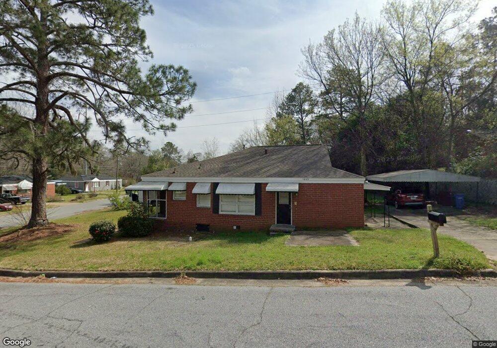
1035 34th Ave Columbus, GA 31906
Carver Heights NeighborhoodEstimated Value: $87,000 - $117,000
4
Beds
2
Baths
1,444
Sq Ft
$71/Sq Ft
Est. Value
About This Home
This home is located at 1035 34th Ave, Columbus, GA 31906 and is currently estimated at $102,194, approximately $70 per square foot. 1035 34th Ave is a home located in Muscogee County with nearby schools including Brewer Elementary School, Rothschild Leadership Academy, and Carver High School.
Ownership History
Date
Name
Owned For
Owner Type
Purchase Details
Closed on
Jul 14, 2022
Sold by
Baker Page Gail
Bought by
Baker Lula Lee
Current Estimated Value
Purchase Details
Closed on
Jul 12, 2022
Sold by
Lee Baker Lula
Bought by
Sfr3-080 Llc
Purchase Details
Closed on
Mar 22, 2009
Sold by
Baker Leroy
Bought by
Baker Page Gail and Baker Lula K
Create a Home Valuation Report for This Property
The Home Valuation Report is an in-depth analysis detailing your home's value as well as a comparison with similar homes in the area
Home Values in the Area
Average Home Value in this Area
Purchase History
| Date | Buyer | Sale Price | Title Company |
|---|---|---|---|
| Baker Lula Lee | -- | None Listed On Document | |
| Sfr3-080 Llc | $30,000 | None Listed On Document | |
| Baker Page Gail | -- | None Available |
Source: Public Records
Tax History Compared to Growth
Tax History
| Year | Tax Paid | Tax Assessment Tax Assessment Total Assessment is a certain percentage of the fair market value that is determined by local assessors to be the total taxable value of land and additions on the property. | Land | Improvement |
|---|---|---|---|---|
| 2025 | $2,019 | $51,588 | $3,528 | $48,060 |
| 2024 | $2,019 | $51,588 | $3,528 | $48,060 |
| 2023 | $798 | $34,312 | $3,528 | $30,784 |
| 2022 | $828 | $20,268 | $3,528 | $16,740 |
| 2021 | $930 | $22,776 | $3,528 | $19,248 |
| 2020 | $930 | $22,776 | $3,528 | $19,248 |
| 2019 | $793 | $22,776 | $3,528 | $19,248 |
| 2018 | $4 | $22,776 | $3,528 | $19,248 |
| 2017 | $5 | $22,776 | $3,528 | $19,248 |
| 2016 | $6 | $16,690 | $2,065 | $14,625 |
| 2015 | $3 | $16,690 | $2,065 | $14,625 |
| 2014 | $3 | $16,690 | $2,065 | $14,625 |
| 2013 | -- | $16,690 | $2,065 | $14,625 |
Source: Public Records
Map
Nearby Homes
- 937 Diggs Ave
- 3319 Decatur St
- 1061 Dunbar Ave
- 3122 Glenwood Dr
- 3415 Terminal St
- 3414 Terminal St
- 1047 Fisk Ave
- 3413 Terminal Ct
- 776 Terminal Ct
- 3010 Colorado St
- 3570 Stratford Dr
- 2937 Thomas St
- 2925 Colorado St
- 2902 Hood St
- 800 Morris Rd
- 2835 Thomas St
- 2833 Thomas St
- 2927 8th St
- 2829 Thomas St
- 1312 Glenwood Rd
- 1031 34th Ave
- 3318 Morehouse St
- 1027 34th Ave
- 3325 Morehouse St
- 1034 34th Ave
- 3321 Oneal St
- 1023 34th Ave
- 3314 Morehouse St
- 3321 Morehouse St
- 1044 34th Ave
- 1040 34th Ave
- 1030 34th Ave
- 3315 Oneal St
- 3310 Morehouse St
- 1048 34th Ave
- 1024 34th Ave
- 3309 Oneal St
- 3311 Morehouse St
- 1013 34th Ave
- 3326 O Neal St