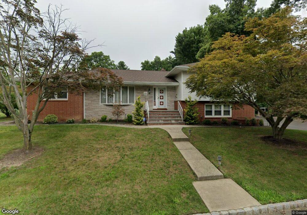
1035 Boulevard Westfield, NJ 07090
Estimated Value: $681,000 - $1,439,000
--
Bed
--
Bath
2,785
Sq Ft
$421/Sq Ft
Est. Value
About This Home
This home is located at 1035 Boulevard, Westfield, NJ 07090 and is currently estimated at $1,173,210, approximately $421 per square foot. 1035 Boulevard is a home located in Union County with nearby schools including Jefferson Elementary School, Edison Intermediate School, and Westfield Senior High School.
Ownership History
Date
Name
Owned For
Owner Type
Purchase Details
Closed on
Aug 24, 2007
Sold by
Aromando Diane and Diiorio Linda
Bought by
Diiorio Linda
Current Estimated Value
Home Financials for this Owner
Home Financials are based on the most recent Mortgage that was taken out on this home.
Original Mortgage
$250,000
Interest Rate
6.74%
Mortgage Type
Purchase Money Mortgage
Create a Home Valuation Report for This Property
The Home Valuation Report is an in-depth analysis detailing your home's value as well as a comparison with similar homes in the area
Home Values in the Area
Average Home Value in this Area
Purchase History
| Date | Buyer | Sale Price | Title Company |
|---|---|---|---|
| Diiorio Linda | $433,027 | None Available |
Source: Public Records
Mortgage History
| Date | Status | Borrower | Loan Amount |
|---|---|---|---|
| Closed | Diiorio Linda | $250,000 |
Source: Public Records
Tax History Compared to Growth
Tax History
| Year | Tax Paid | Tax Assessment Tax Assessment Total Assessment is a certain percentage of the fair market value that is determined by local assessors to be the total taxable value of land and additions on the property. | Land | Improvement |
|---|---|---|---|---|
| 2025 | $16,856 | $748,500 | $478,200 | $270,300 |
| 2024 | $16,512 | $748,500 | $478,200 | $270,300 |
| 2023 | $16,512 | $748,500 | $478,200 | $270,300 |
| 2022 | $16,168 | $748,500 | $478,200 | $270,300 |
| 2021 | $16,190 | $748,500 | $478,200 | $270,300 |
| 2020 | $16,153 | $748,500 | $478,200 | $270,300 |
| 2019 | $16,093 | $748,500 | $478,200 | $270,300 |
| 2018 | $15,470 | $166,400 | $68,400 | $98,000 |
| 2017 | $15,385 | $166,400 | $68,400 | $98,000 |
| 2016 | $15,024 | $166,400 | $68,400 | $98,000 |
| 2015 | $14,725 | $166,400 | $68,400 | $98,000 |
| 2014 | $14,239 | $166,400 | $68,400 | $98,000 |
Source: Public Records
Map
Nearby Homes
- 1008 Boulevard
- 16 Manchester Dr
- 1016 Tice Place
- 176 Harrow Rd
- 2 Byron Ct
- 26 Manchester Dr
- 11 Mohawk Trail
- 116 Cedar St
- 817 Summit Ave
- 213 Welch Way
- 814 Summit Ave
- 118 Cambridge Rd
- 834 Tice Place
- 1508 Boulevard
- 1283 Rahway Ave
- 1012 Columbus Ave
- 1015 Columbus Ave
- 928 Columbus Ave
- 443 Pine Ave
- 355 Hemlock Ave