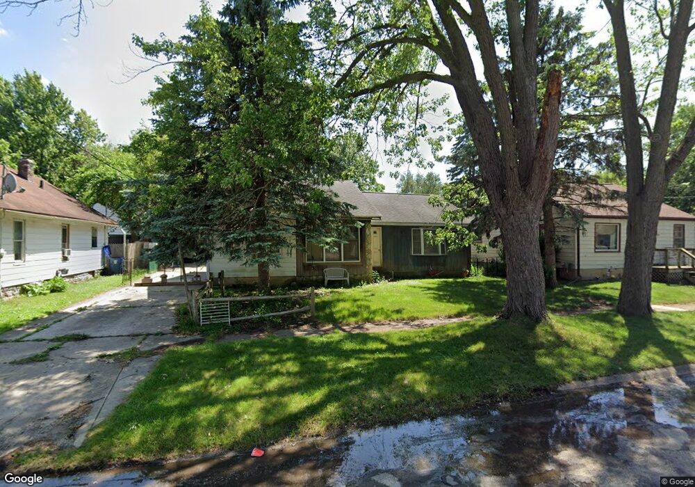
1035 Campbell St Flint, MI 48507
South Side NeighborhoodEstimated Value: $55,000 - $70,983
3
Beds
1
Bath
1,340
Sq Ft
$48/Sq Ft
Est. Value
About This Home
This home is located at 1035 Campbell St, Flint, MI 48507 and is currently estimated at $64,746, approximately $48 per square foot. 1035 Campbell St is a home located in Genesee County with nearby schools including Neithercut Elementary School, Flint Southwestern Classical Academy, and International Academy of Flint (K-12).
Ownership History
Date
Name
Owned For
Owner Type
Purchase Details
Closed on
Apr 16, 2004
Sold by
Miracle George O and Miracle Martha A
Bought by
Burghdorf Duane P
Current Estimated Value
Home Financials for this Owner
Home Financials are based on the most recent Mortgage that was taken out on this home.
Original Mortgage
$45,000
Interest Rate
5.46%
Mortgage Type
Purchase Money Mortgage
Purchase Details
Closed on
Dec 26, 2003
Sold by
Ottaco Inc
Bought by
Miracle George
Create a Home Valuation Report for This Property
The Home Valuation Report is an in-depth analysis detailing your home's value as well as a comparison with similar homes in the area
Home Values in the Area
Average Home Value in this Area
Purchase History
We collect this data history from publicly available records. To have your information removed, we recommend requesting removal directly through your county’s website.
| Date | Buyer | Sale Price | Title Company |
|---|---|---|---|
| Burghdorf Duane P | $48,000 | Centennial Title Co | |
| Miracle George | $25,900 | -- |
Source: Public Records
Mortgage History
We collect this data history from publicly available records. To have your information removed, we recommend requesting removal directly through your county’s website.
| Date | Status | Borrower | Loan Amount |
|---|---|---|---|
| Closed | Burghdorf Duane P | $45,000 |
Source: Public Records
Tax History
| Year | Tax Paid | Tax Assessment Tax Assessment Total Assessment is a certain percentage of the fair market value that is determined by local assessors to be the total taxable value of land and additions on the property. | Land | Improvement |
|---|---|---|---|---|
| 2025 | $1,302 | $23,700 | $0 | $0 |
| 2024 | $1,203 | $24,500 | $0 | $0 |
| 2023 | $1,173 | $19,600 | $0 | $0 |
| 2022 | $0 | $16,600 | $0 | $0 |
| 2021 | $1,191 | $15,000 | $0 | $0 |
| 2020 | $1,092 | $15,000 | $0 | $0 |
| 2019 | $1,064 | $15,300 | $0 | $0 |
| 2018 | $1,062 | $12,700 | $0 | $0 |
| 2017 | $1,034 | $0 | $0 | $0 |
| 2016 | $1,027 | $0 | $0 | $0 |
| 2015 | -- | $0 | $0 | $0 |
| 2014 | -- | $0 | $0 | $0 |
| 2012 | -- | $15,400 | $0 | $0 |
Source: Public Records
Map
Nearby Homes
- 1028 Campbell St
- 925 Leland St
- 934 Campbell St
- 1310 Alvord Ave
- 4117 Brunswick Ave
- 1310 Huron St
- 912 Huron St
- 1410 Berrywood Ln
- 842 Leland St
- 1210 Pinehurst Ave
- 845 Alvord Ave
- 1318 Ingleside Ave
- 935 Ingleside Ave
- 1410 W Atherton Rd
- 1122 Markham St
- 1506 Blueberry Ln
- 822 Campbell St
- 806 Alvord Ave
- 805 Alvord Ave
- 1329 Lincoln Ave
- 1027 Leland St
- 1043 Leland St
- 1023 Leland St
- 1036 Crawford St
- 1032 Crawford St
- 1028 Crawford St
- 1015 Leland St
- 1105 Leland St
- 1102 Crawford St
- 1020 Crawford St
- 1032 Leland St
- 1036 Leland St
- 1109 Leland St
- 1024 Leland St
- 1102 Leland St
- 1016 Crawford St
- 1110 Crawford St
- 1022 Leland St
- 1012 Crawford St
- 1016 Leland St
Your Personal Tour Guide
Ask me questions while you tour the home.