1035 Cemetery Rd Wellfleet, MA 2667
Estimated Value: $1,645,265
4
Beds
3
Baths
4,484
Sq Ft
$367/Sq Ft
Est. Value
About This Home
This home is located at 1035 Cemetery Rd, Wellfleet, MA 2667 and is currently estimated at $1,645,265, approximately $366 per square foot. 1035 Cemetery Rd is a home located in Barnstable County with nearby schools including Wellfleet Elementary School, Nauset Regional Middle School, and Nauset Regional High School.
Ownership History
Date
Name
Owned For
Owner Type
Purchase Details
Closed on
Jul 26, 2024
Sold by
Gestalt Intl Study Ctr Lt
Bought by
Wellfleet Town Of
Current Estimated Value
Purchase Details
Closed on
Apr 19, 2012
Sold by
Gestalt International
Bought by
Gestalt International
Purchase Details
Closed on
Jul 14, 2008
Sold by
Nevis Amy Ruth and Gestalt Inatl Study
Bought by
Gestalt Inatl Studies
Purchase Details
Closed on
Jan 18, 2001
Sold by
Magenau Nt and Magenau
Bought by
Gestalt Interntl Study and Gestalt Nevis
Home Financials for this Owner
Home Financials are based on the most recent Mortgage that was taken out on this home.
Original Mortgage
$216,000
Interest Rate
7.52%
Mortgage Type
Purchase Money Mortgage
Create a Home Valuation Report for This Property
The Home Valuation Report is an in-depth analysis detailing your home's value as well as a comparison with similar homes in the area
Home Values in the Area
Average Home Value in this Area
Purchase History
| Date | Buyer | Sale Price | Title Company |
|---|---|---|---|
| Wellfleet Town Of | $1,700,000 | None Available | |
| Wellfleet Town Of | $1,700,000 | None Available | |
| Gestalt International | -- | -- | |
| Gestalt International | -- | -- | |
| Gestalt International | -- | -- | |
| Gestalt International | -- | -- | |
| Gestalt Inatl Studies | -- | -- | |
| Gestalt Inatl Studies | -- | -- | |
| Gestalt Interntl Study | $270,000 | -- | |
| Gestalt Interntl Study | $270,000 | -- |
Source: Public Records
Mortgage History
| Date | Status | Borrower | Loan Amount |
|---|---|---|---|
| Previous Owner | Gestalt Interntl Study | $216,000 |
Source: Public Records
Tax History
| Year | Tax Paid | Tax Assessment Tax Assessment Total Assessment is a certain percentage of the fair market value that is determined by local assessors to be the total taxable value of land and additions on the property. | Land | Improvement |
|---|---|---|---|---|
| 2025 | -- | $1,045,900 | $435,400 | $610,500 |
| 2024 | -- | $1,024,900 | $414,700 | $610,200 |
| 2023 | $0 | $961,100 | $351,500 | $609,600 |
| 2022 | $0 | $886,900 | $308,300 | $578,600 |
| 2021 | $3,367 | $841,100 | $275,300 | $565,800 |
| 2020 | $0 | $860,800 | $297,300 | $563,500 |
| 2019 | $2,996 | $864,000 | $297,300 | $566,700 |
| 2018 | $0 | $823,700 | $264,300 | $559,400 |
| 2017 | $2,443 | $820,400 | $264,300 | $556,100 |
| 2016 | -- | $885,800 | $326,900 | $558,900 |
Source: Public Records
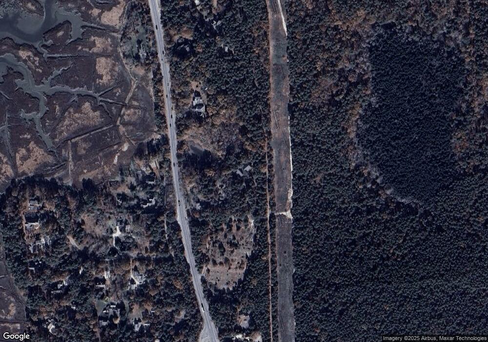
Map
Nearby Homes
- 165 Cottontail Rd
- 85 Rockwell Ave
- 1937 State Highway Route 6 Unit E
- 1937 State Highway Route 6 Unit E
- 2032 State Hwy Rte 6 Unit F/ (6)
- 30 Sam Hollow Rd
- 344 King Phillip Rd
- 100 E Hill Rd
- 46 Spring Brook Rd
- 79 King Phillip Rd
- 345 Cove Rd
- 36 Cove Rd
- 49 Village Ln
- 105 Howard Ct
- 135 Marven Way
- 30 Harbor View Cir
- 100 Gigi Ln
- 5470 State Hwy
- 65 Harmes Way
- 115 Wamsutta Rd
- 1019 Cemetery Rd Unit 2
- 1019 Cemetery Rd
- 1234 State Hwy Rte 6
- 1005 Cemetery
- 1005 Cemetery Rd
- 1244 State Hwy Rte 6
- 1160 State Hwy Rte 6
- 1225 State Hwy Rte 6
- 1191 State Hwy Rte 6
- 1 Ayres Ln
- 50 Goss Ln
- 8 Bluefish Ln
- 120 Goss Ln
- 8 Bluefish Ln
- 25 Goss Ln
- 4 Bluefish Ln
- 1 Goss Ln
- 1118 State Hwy Rte 6
- 1118 State Hwy Unit 1-2
- 1118 State Hwy
Your Personal Tour Guide
Ask me questions while you tour the home.