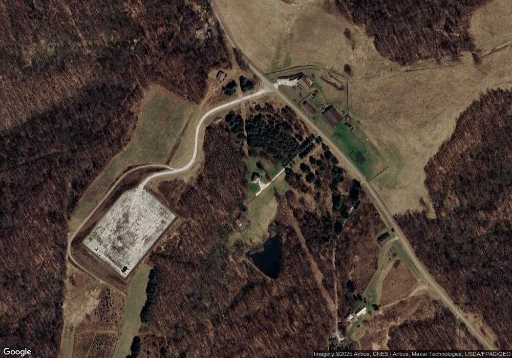
1035 Cinder Rd SE Unit 30 Carrollton, OH 44615
Estimated Value: $205,713 - $243,000
3
Beds
3
Baths
2,172
Sq Ft
$102/Sq Ft
Est. Value
About This Home
This home is located at 1035 Cinder Rd SE Unit 30, Carrollton, OH 44615 and is currently estimated at $221,678, approximately $102 per square foot. 1035 Cinder Rd SE Unit 30 is a home located in Carroll County with nearby schools including Carrollton High School.
Ownership History
Date
Name
Owned For
Owner Type
Purchase Details
Closed on
Jul 9, 2025
Sold by
Hershberger Marvin R and Hershberger Anna Jean
Bought by
Weaver Marvin R and Weaver Amanda O
Current Estimated Value
Home Financials for this Owner
Home Financials are based on the most recent Mortgage that was taken out on this home.
Original Mortgage
$275,000
Outstanding Balance
$274,538
Interest Rate
6.89%
Mortgage Type
New Conventional
Estimated Equity
-$52,860
Purchase Details
Closed on
Jul 4, 2018
Sold by
Snider Michael L
Bought by
Hershberger Marvin R and Hershberger Anna Jean
Create a Home Valuation Report for This Property
The Home Valuation Report is an in-depth analysis detailing your home's value as well as a comparison with similar homes in the area
Home Values in the Area
Average Home Value in this Area
Purchase History
| Date | Buyer | Sale Price | Title Company |
|---|---|---|---|
| Weaver Marvin R | $215,000 | None Listed On Document | |
| Weaver Marvin R | $215,000 | None Listed On Document | |
| Hershberger Marvin R | $68,000 | None Available |
Source: Public Records
Mortgage History
| Date | Status | Borrower | Loan Amount |
|---|---|---|---|
| Open | Weaver Marvin R | $275,000 | |
| Closed | Weaver Marvin R | $275,000 |
Source: Public Records
Tax History Compared to Growth
Tax History
| Year | Tax Paid | Tax Assessment Tax Assessment Total Assessment is a certain percentage of the fair market value that is determined by local assessors to be the total taxable value of land and additions on the property. | Land | Improvement |
|---|---|---|---|---|
| 2024 | $1,285 | $40,370 | $13,180 | $27,190 |
| 2023 | $1,276 | $40,370 | $13,180 | $27,190 |
| 2022 | $1,264 | $40,370 | $13,180 | $27,190 |
| 2021 | $1,284 | $40,370 | $13,180 | $27,190 |
| 2020 | $1,214 | $40,370 | $13,180 | $27,190 |
| 2019 | $1,200 | $40,373 | $13,185 | $27,188 |
| 2018 | $1,150 | $37,610 | $11,130 | $26,480 |
| 2017 | $1,151 | $37,610 | $11,130 | $26,480 |
| 2016 | $1,140 | $34,240 | $10,170 | $24,070 |
| 2015 | $1,058 | $34,240 | $10,170 | $24,070 |
| 2014 | $1,058 | $34,240 | $10,170 | $24,070 |
| 2013 | $1,048 | $34,240 | $10,170 | $24,070 |
Source: Public Records
Map
Nearby Homes
- 1292 Cinder Rd SE Unit 24C
- 1054 Bergholz Rd SE Unit 24C
- 0 Cinder Rd SE
- 2035 Timber Rd Unit 23A
- 0 Timber Rd
- 868 Township Road 278
- 9256 Blossom Rd NE Unit 15
- 5007 Raven Rd SE Unit 4
- 469 4th
- 381 3rd St
- 1002 Jefferson St
- 11317 State Route 164
- 4101 Peace Rd SE
- 4301 Steubenville Rd SE Unit 3
- 4240 Apollo Rd SE Unit 3
- 5659 Steubenville Rd SE
- 5696 Steubenville Rd SE Unit 20
- 3145 Steubenville Rd SE Unit 16
- 0 Norse Rd NE
- 6142 Steubenville Rd SE
- 1030 Cinder Rd SE
- 275 Cinder Rd SE Unit 25
- 1091 Cinder Rd SE
- 1092 Cinder Rd SE
- 1357 Cinder Rd SE
- 1107 Cinder Rd SE
- 1106 Cinder Rd SE Unit 24C
- 242 Cinder Rd SE Unit 25
- 8521 Bay Rd SE Unit 24C
- 1136 Cinder Rd SE Unit 24C
- 8532 Bay Rd SE Unit 24C
- 1171 Cinder Rd SE Unit 24C
- 1166 Cinder Rd SE Unit 24C
- 8501 Bay Rd SE Unit 24C
- 8481 Bay Rd SE Unit 24C
- 160 Cinder Rd SE Unit 25
- 8801 Bay Rd SE Unit 19
- 0 Bay Rd Unit 3039741
- 0 Bay Rd Unit 4382619
- 1020 Torch Rd SE Unit 24C
