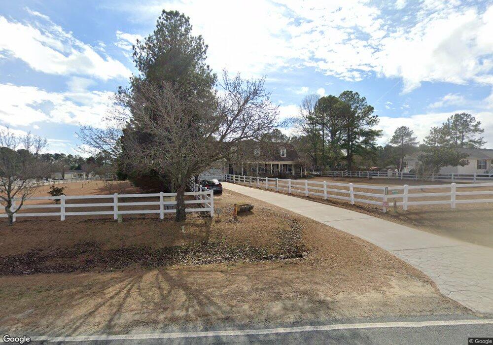
1035 Clayton Rd Angier, NC 27501
Pleasant Grove NeighborhoodEstimated Value: $337,000 - $403,000
3
Beds
3
Baths
1,450
Sq Ft
$254/Sq Ft
Est. Value
About This Home
This home is located at 1035 Clayton Rd, Angier, NC 27501 and is currently estimated at $368,913, approximately $254 per square foot. 1035 Clayton Rd is a home located in Johnston County with nearby schools including Benson Elementary School, Benson Middle School, and West Johnston High School.
Ownership History
Date
Name
Owned For
Owner Type
Purchase Details
Closed on
Sep 25, 2025
Sold by
Rodriguez Raoul and Capicchioni Danielle
Bought by
Rodriguez Raoul and Capicchioni Danielle
Current Estimated Value
Purchase Details
Closed on
May 1, 2007
Sold by
Norris Thomas and Adams Lorrie L
Bought by
Rodriguez Raoul and Capicchioni Danielle
Home Financials for this Owner
Home Financials are based on the most recent Mortgage that was taken out on this home.
Original Mortgage
$152,000
Interest Rate
6.12%
Mortgage Type
Purchase Money Mortgage
Purchase Details
Closed on
May 2, 1988
Sold by
Norris Thomas
Bought by
Norris Thomas
Create a Home Valuation Report for This Property
The Home Valuation Report is an in-depth analysis detailing your home's value as well as a comparison with similar homes in the area
Home Values in the Area
Average Home Value in this Area
Purchase History
| Date | Buyer | Sale Price | Title Company |
|---|---|---|---|
| Rodriguez Raoul | -- | None Listed On Document | |
| Rodriguez Raoul | -- | None Listed On Document | |
| Rodriguez Raoul | $152,000 | None Available | |
| Norris Thomas | $2,000 | -- |
Source: Public Records
Mortgage History
| Date | Status | Borrower | Loan Amount |
|---|---|---|---|
| Previous Owner | Rodriguez Raoul | $152,000 |
Source: Public Records
Tax History Compared to Growth
Tax History
| Year | Tax Paid | Tax Assessment Tax Assessment Total Assessment is a certain percentage of the fair market value that is determined by local assessors to be the total taxable value of land and additions on the property. | Land | Improvement |
|---|---|---|---|---|
| 2025 | $2,095 | $329,880 | $60,000 | $269,880 |
| 2024 | $1,667 | $205,810 | $28,500 | $177,310 |
| 2023 | $1,605 | $205,810 | $28,500 | $177,310 |
| 2022 | $1,688 | $205,810 | $28,500 | $177,310 |
| 2021 | $1,646 | $205,810 | $28,500 | $177,310 |
| 2020 | $1,708 | $205,810 | $28,500 | $177,310 |
| 2019 | $1,708 | $205,810 | $28,500 | $177,310 |
| 2018 | $1,551 | $182,460 | $22,500 | $159,960 |
| 2017 | $1,551 | $182,460 | $22,500 | $159,960 |
| 2016 | $1,551 | $182,460 | $22,500 | $159,960 |
| 2015 | -- | $182,460 | $22,500 | $159,960 |
| 2014 | -- | $182,460 | $22,500 | $159,960 |
Source: Public Records
Map
Nearby Homes
- 211 Tobacco Barn Dr
- 4194 Abattoir Rd
- 0 Massengill Pond Rd
- 81 Pinon Dr
- 46 Two Belles Ct
- 204 West Rd
- 120 Massengill Pond Rd
- 5750 Old Fairground Rd
- 460 Johnston County Rd
- Stanley Plan at Black Forest Pointe
- Wilmington Plan at Black Forest Pointe
- Avery Plan at Black Forest Pointe
- Cypress Plan at Black Forest Pointe
- Oxford Plan at Black Forest Pointe
- Ellerbe Plan at Black Forest Pointe
- Raleigh Plan at Black Forest Pointe
- 1425 Langdon Rd
- 59 Carrousel Ct
- 73 Stone Apiary Dr
- 38.2 Acres Wiggins Rd
- 1047 Clayton Rd
- 103 Brentwood Cir
- 1219 Ridge Rd
- 1149 Ridge Rd
- 1210 Ridge Rd
- 105 Brentwood Cir
- 1210 10th Ave
- 1259 Ridge Rd
- 1259 10th Ave
- 1220 Ridge Rd
- 1240 Ridge Rd
- 1134 Ridge Rd
- 114 Brentwood Cir
- 939 Clayton Rd
- 109 Brentwood Cir
- 1258 Ridge Rd
- 1258 10th Ave
- 118 Brentwood Cir
- 1103 10th Ave
- 1103 Ridge Rd