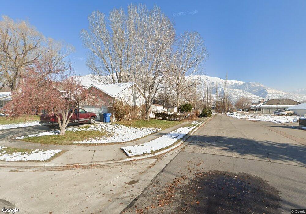
1035 E 30 N American Fork, UT 84003
Estimated Value: $493,000 - $587,000
3
Beds
3
Baths
1,964
Sq Ft
$279/Sq Ft
Est. Value
About This Home
This home is located at 1035 E 30 N, American Fork, UT 84003 and is currently estimated at $548,753, approximately $279 per square foot. 1035 E 30 N is a home located in Utah County with nearby schools including Barratt Elementary School, American Fork Junior High School, and American Fork High School.
Ownership History
Date
Name
Owned For
Owner Type
Purchase Details
Closed on
Nov 26, 2012
Sold by
Secretary Of Hud
Bought by
Plummer Kevin D and Plummer Angela S
Current Estimated Value
Home Financials for this Owner
Home Financials are based on the most recent Mortgage that was taken out on this home.
Original Mortgage
$195,000
Outstanding Balance
$134,848
Interest Rate
3.33%
Mortgage Type
VA
Estimated Equity
$413,905
Purchase Details
Closed on
May 3, 2012
Sold by
King Michael and King Nikki
Bought by
Flagstar Bank Fsb
Purchase Details
Closed on
Mar 29, 2012
Sold by
Flagstar Bank Fsb
Bought by
Secretary Of Hud
Purchase Details
Closed on
Apr 10, 2008
Sold by
Watkins Robert S and Watkins Arleen M
Bought by
King Michael and King Nikki
Home Financials for this Owner
Home Financials are based on the most recent Mortgage that was taken out on this home.
Original Mortgage
$253,029
Interest Rate
6.11%
Mortgage Type
FHA
Create a Home Valuation Report for This Property
The Home Valuation Report is an in-depth analysis detailing your home's value as well as a comparison with similar homes in the area
Home Values in the Area
Average Home Value in this Area
Purchase History
| Date | Buyer | Sale Price | Title Company |
|---|---|---|---|
| Plummer Kevin D | -- | Willims Title Guarnty And | |
| Flagstar Bank Fsb | $260,968 | Etitle Ins Ag | |
| Secretary Of Hud | -- | None Available | |
| King Michael | -- | Select Title Insurance Agen |
Source: Public Records
Mortgage History
| Date | Status | Borrower | Loan Amount |
|---|---|---|---|
| Open | Plummer Kevin D | $195,000 | |
| Previous Owner | King Michael | $253,029 |
Source: Public Records
Tax History
| Year | Tax Paid | Tax Assessment Tax Assessment Total Assessment is a certain percentage of the fair market value that is determined by local assessors to be the total taxable value of land and additions on the property. | Land | Improvement |
|---|---|---|---|---|
| 2025 | $2,361 | $274,230 | -- | -- |
| 2024 | $2,361 | $262,350 | $0 | $0 |
| 2023 | $2,234 | $263,120 | $0 | $0 |
| 2022 | $2,386 | $277,420 | $0 | $0 |
| 2021 | $2,042 | $370,800 | $160,800 | $210,000 |
| 2020 | $1,910 | $336,300 | $143,600 | $192,700 |
| 2019 | $1,681 | $306,100 | $133,400 | $172,700 |
| 2018 | $1,584 | $275,800 | $125,500 | $150,300 |
| 2017 | $1,393 | $130,900 | $0 | $0 |
| 2016 | $1,307 | $114,180 | $0 | $0 |
| 2015 | $1,270 | $105,215 | $0 | $0 |
| 2014 | $1,250 | $102,190 | $0 | $0 |
Source: Public Records
Map
Nearby Homes
Your Personal Tour Guide
Ask me questions while you tour the home.