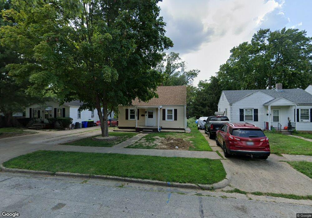
1035 N University Ave Decatur, IL 62522
Garfield Park NeighborhoodEstimated Value: $46,000 - $74,000
3
Beds
1
Bath
1,092
Sq Ft
$55/Sq Ft
Est. Value
About This Home
This home is located at 1035 N University Ave, Decatur, IL 62522 and is currently estimated at $60,534, approximately $55 per square foot. 1035 N University Ave is a home located in Macon County with nearby schools including Stephen Decatur Middle School, Northwest Christian Campus, and Teen Challenge-Home For Girls.
Ownership History
Date
Name
Owned For
Owner Type
Purchase Details
Closed on
Nov 11, 2022
Sold by
Great Team Realty Llc
Bought by
Shaw Brooke A
Current Estimated Value
Home Financials for this Owner
Home Financials are based on the most recent Mortgage that was taken out on this home.
Original Mortgage
$58,814
Outstanding Balance
$57,153
Interest Rate
7.63%
Mortgage Type
New Conventional
Estimated Equity
$3,381
Purchase Details
Closed on
Dec 10, 2021
Sold by
Sterling Mark S and Sterling Janience
Bought by
Great Team Realty Llc
Purchase Details
Closed on
Nov 1, 2002
Create a Home Valuation Report for This Property
The Home Valuation Report is an in-depth analysis detailing your home's value as well as a comparison with similar homes in the area
Home Values in the Area
Average Home Value in this Area
Purchase History
| Date | Buyer | Sale Price | Title Company |
|---|---|---|---|
| Shaw Brooke A | $60,000 | -- | |
| Great Team Realty Llc | $8,666 | None Listed On Document | |
| -- | $46,500 | -- |
Source: Public Records
Mortgage History
| Date | Status | Borrower | Loan Amount |
|---|---|---|---|
| Open | Shaw Brooke A | $58,814 |
Source: Public Records
Tax History Compared to Growth
Tax History
| Year | Tax Paid | Tax Assessment Tax Assessment Total Assessment is a certain percentage of the fair market value that is determined by local assessors to be the total taxable value of land and additions on the property. | Land | Improvement |
|---|---|---|---|---|
| 2024 | $601 | $12,206 | $436 | $11,770 |
| 2023 | $575 | $11,774 | $421 | $11,353 |
| 2022 | $545 | $10,791 | $389 | $10,402 |
| 2021 | $548 | $10,078 | $364 | $9,714 |
| 2020 | $566 | $9,611 | $348 | $9,263 |
| 2019 | $566 | $9,611 | $348 | $9,263 |
| 2018 | $559 | $10,568 | $241 | $10,327 |
| 2017 | $558 | $10,850 | $247 | $10,603 |
| 2016 | $563 | $10,961 | $250 | $10,711 |
| 2015 | $544 | $10,768 | $246 | $10,522 |
| 2014 | $608 | $12,338 | $1,357 | $10,981 |
| 2013 | $649 | $12,801 | $1,408 | $11,393 |
Source: Public Records
Map
Nearby Homes
- 917 N Wilder Ave
- 1319 W Waggoner St
- 1451 W Marietta St
- 1065 W Green St
- 1535 N Mcclellan Ave
- 1530 W Cushing St
- 1645 W Center St
- 837 W Grand Ave
- 1675 W Center St
- 1415 N Dennis Ave
- 933 W Division St
- 925 W Olive St
- 1706 W Division St
- 266 Cobb Ave
- 958 W William St
- 1653 N Maple Ave
- 1524 N Summit Ave
- 875 N Monroe St
- 1625 W Garfield Ave
- 1545 N Monroe St
- 1045 N University Ave
- 1015 N University Ave
- 1055 N University Ave
- 1204 W Marietta St
- 1038 N Wilder Ave
- 1075 N University Ave
- 1005 N University Ave
- 1048 N Wilder Ave
- 1050 N University Ave
- 1030 N University Ave
- 1240 W Marietta St
- 1058 N Wilder Ave
- 1220 W Marietta St
- 1095 N University Ave
- 1242 W Marietta St
- 1068 N Wilder Ave
- 1176 W Marietta St
- 1028 N Wilder Ave
- 1078 N Wilder Ave
- 1172 W Marietta St