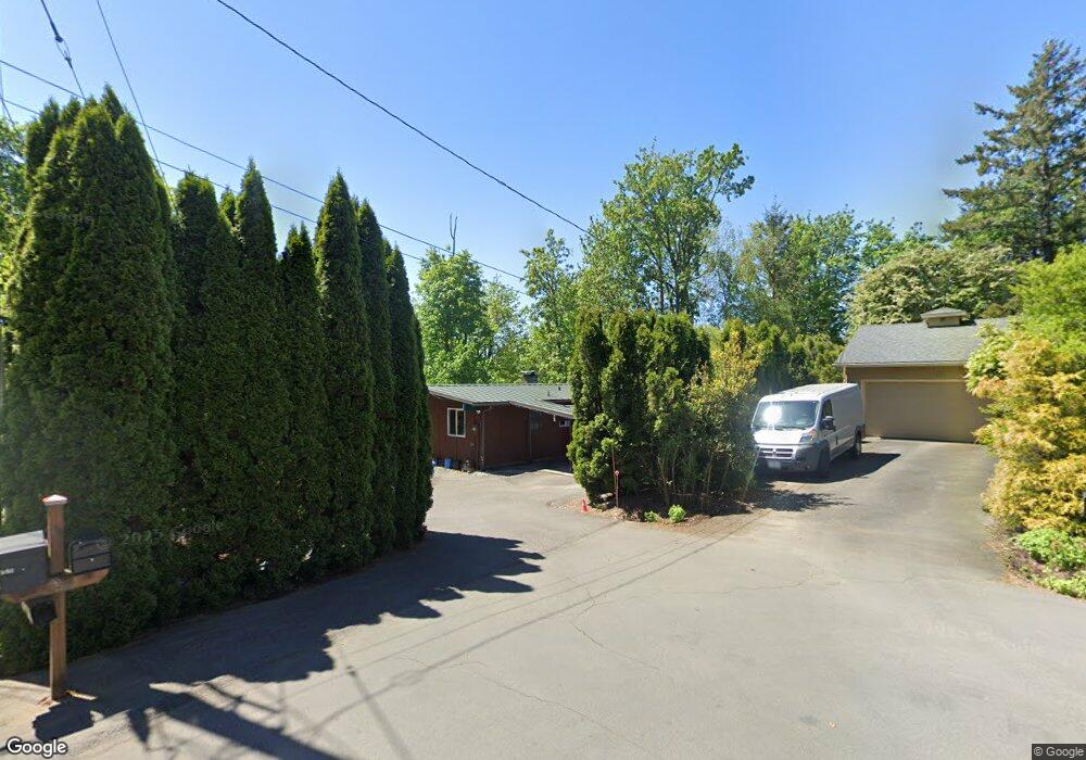
1035 NW 91st Ave Portland, OR 97229
Estimated Value: $593,000 - $805,000
2
Beds
1
Bath
1,152
Sq Ft
$586/Sq Ft
Est. Value
About This Home
This home is located at 1035 NW 91st Ave, Portland, OR 97229 and is currently estimated at $674,894, approximately $585 per square foot. 1035 NW 91st Ave is a home located in Washington County with nearby schools including Cedar Mill Elementary School, Sunset High School, and French International School of Oregon.
Ownership History
Date
Name
Owned For
Owner Type
Purchase Details
Closed on
Aug 18, 2009
Sold by
Potter Mary J
Bought by
Benton Nejat and Ollivierre Shelly
Current Estimated Value
Home Financials for this Owner
Home Financials are based on the most recent Mortgage that was taken out on this home.
Original Mortgage
$226,816
Outstanding Balance
$146,370
Interest Rate
5.17%
Mortgage Type
FHA
Estimated Equity
$528,524
Purchase Details
Closed on
Feb 6, 1997
Sold by
Potter Robert Kern
Bought by
Potter Mary J
Create a Home Valuation Report for This Property
The Home Valuation Report is an in-depth analysis detailing your home's value as well as a comparison with similar homes in the area
Home Values in the Area
Average Home Value in this Area
Purchase History
| Date | Buyer | Sale Price | Title Company |
|---|---|---|---|
| Benton Nejat | $231,000 | First American | |
| Potter Mary J | -- | -- |
Source: Public Records
Mortgage History
| Date | Status | Borrower | Loan Amount |
|---|---|---|---|
| Open | Benton Nejat | $226,816 |
Source: Public Records
Tax History Compared to Growth
Tax History
| Year | Tax Paid | Tax Assessment Tax Assessment Total Assessment is a certain percentage of the fair market value that is determined by local assessors to be the total taxable value of land and additions on the property. | Land | Improvement |
|---|---|---|---|---|
| 2026 | $4,575 | $260,210 | -- | -- |
| 2025 | $4,575 | $252,640 | -- | -- |
| 2024 | $4,296 | $245,290 | -- | -- |
| 2023 | $4,296 | $238,150 | $0 | $0 |
| 2022 | $4,157 | $238,150 | $0 | $0 |
| 2021 | $4,007 | $224,490 | $0 | $0 |
| 2020 | $3,887 | $217,960 | $0 | $0 |
| 2019 | $3,760 | $211,620 | $0 | $0 |
| 2018 | $3,637 | $205,460 | $0 | $0 |
| 2017 | $3,506 | $199,480 | $0 | $0 |
| 2016 | $3,381 | $193,670 | $0 | $0 |
| 2015 | $3,251 | $188,030 | $0 | $0 |
| 2014 | $3,186 | $182,560 | $0 | $0 |
Source: Public Records
Map
Nearby Homes
- 680 NW Torrey View Ln
- 1325 NW 94th Ave
- 9070 NW Lovejoy St
- 8930 NW Sherry Ct
- 8635 NW Ash St
- 8937 NW Lovejoy St
- 9601 NW Leahy Rd Unit 212
- 229 NW Sundown Way
- 9361 NW Murlea Ln
- 1109 NW Frazier Ct
- 100 NE Tuality Way NW
- 370 NW 81st Place
- 10183 NW Crossing Dr
- 1615 NW Barnsley Ct
- 9625 NW Fleischner St
- 1726 NW Miller Hill Place
- 10156 NW Fleetwood Dr
- 175 SW 85th Ave
- 8601 NW Hazeltine St
- 9636 NW Miller Hill Dr
- 1065 NW 91st Ave
- 1085 NW 91st Ave
- 1085 NW
- 9200 NW Harvest Hill Dr
- 9229 NW Cinder Ct
- 1102 NW 92nd Ave
- 1070 NW 91st Ave
- 1114 NW 92nd Ave
- 1125 NW 91st Ave
- 9224 NW Harvest Hill Dr
- 9310 NW Cornell Rd
- 1126 NW 92nd Ave
- 9236 NW Harvest Hill Dr Unit Lot63
- 1100 NW 91st Ave
- 9247 NW Cinder Ct
- 1138 NW 92nd Ave
- 9240 NW Cinder Ct
- 9219 NW Harvest Hill Dr
- 1155 NW 91st Ave
- 1150 NW 92nd Ave