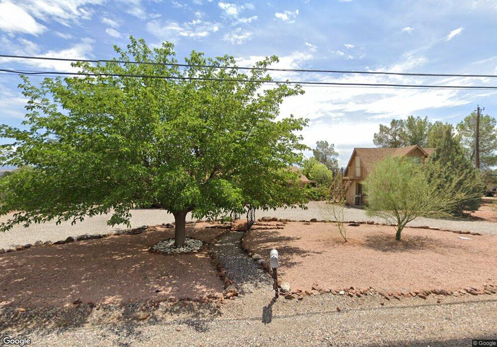
1035 S 7th St Cottonwood, AZ 86326
Cottonwood NeighborhoodEstimated Value: $380,010 - $564,000
--
Bed
--
Bath
4,027
Sq Ft
$119/Sq Ft
Est. Value
About This Home
This home is located at 1035 S 7th St, Cottonwood, AZ 86326 and is currently estimated at $479,753, approximately $119 per square foot. 1035 S 7th St is a home located in Yavapai County with nearby schools including Dr Daniel Bright Elementary School, Cottonwood Elementary School, and Cottonwood Community School.
Ownership History
Date
Name
Owned For
Owner Type
Purchase Details
Closed on
Dec 29, 1993
Sold by
Harder Robin L
Bought by
Brower Roy Linzy and Haines Margaret A
Current Estimated Value
Home Financials for this Owner
Home Financials are based on the most recent Mortgage that was taken out on this home.
Original Mortgage
$57,600
Interest Rate
6.98%
Create a Home Valuation Report for This Property
The Home Valuation Report is an in-depth analysis detailing your home's value as well as a comparison with similar homes in the area
Home Values in the Area
Average Home Value in this Area
Purchase History
| Date | Buyer | Sale Price | Title Company |
|---|---|---|---|
| Brower Roy Linzy | -- | Yavapai Title Co | |
| Harder Robin L | -- | Yavapai Title Co |
Source: Public Records
Mortgage History
| Date | Status | Borrower | Loan Amount |
|---|---|---|---|
| Previous Owner | Brower Roy Linzy | $57,600 |
Source: Public Records
Tax History Compared to Growth
Tax History
| Year | Tax Paid | Tax Assessment Tax Assessment Total Assessment is a certain percentage of the fair market value that is determined by local assessors to be the total taxable value of land and additions on the property. | Land | Improvement |
|---|---|---|---|---|
| 2026 | $1,802 | $46,929 | -- | -- |
| 2024 | $1,658 | $47,565 | -- | -- |
| 2023 | $1,658 | $39,536 | $8,327 | $31,209 |
| 2022 | $1,654 | $32,822 | $6,964 | $25,858 |
| 2021 | $1,324 | $6,124 | $6,124 | $0 |
| 2020 | $1,381 | $0 | $0 | $0 |
| 2019 | $1,442 | $0 | $0 | $0 |
| 2018 | $1,454 | $0 | $0 | $0 |
| 2017 | $1,462 | $0 | $0 | $0 |
| 2016 | $1,509 | $0 | $0 | $0 |
| 2015 | -- | $0 | $0 | $0 |
| 2014 | -- | $0 | $0 | $0 |
Source: Public Records
Map
Nearby Homes
- 630 E Elm St
- 912 S 6th St
- 1041 S Vista Grande Dr
- 320 E Fir St
- 1203 S Settlers Cir Unit 8
- 1860 Sunset Dr
- 1191 S Vista Grande Dr
- 1063 S Viejo Dr
- 1295 E Ridgeview Dr
- 1798 E Fir St
- 910 S Tigres Trail
- 421 Boulder Ln
- 807 S Tigres Trail
- 1322 E Five Star Blvd
- 1161 S 10th St
- 1239 S Navajo Dr
- 1520 E Elm St
- 1151 E State Route 89a --
- 1476 S Verde Dr
- 1615 E Crestview Cir