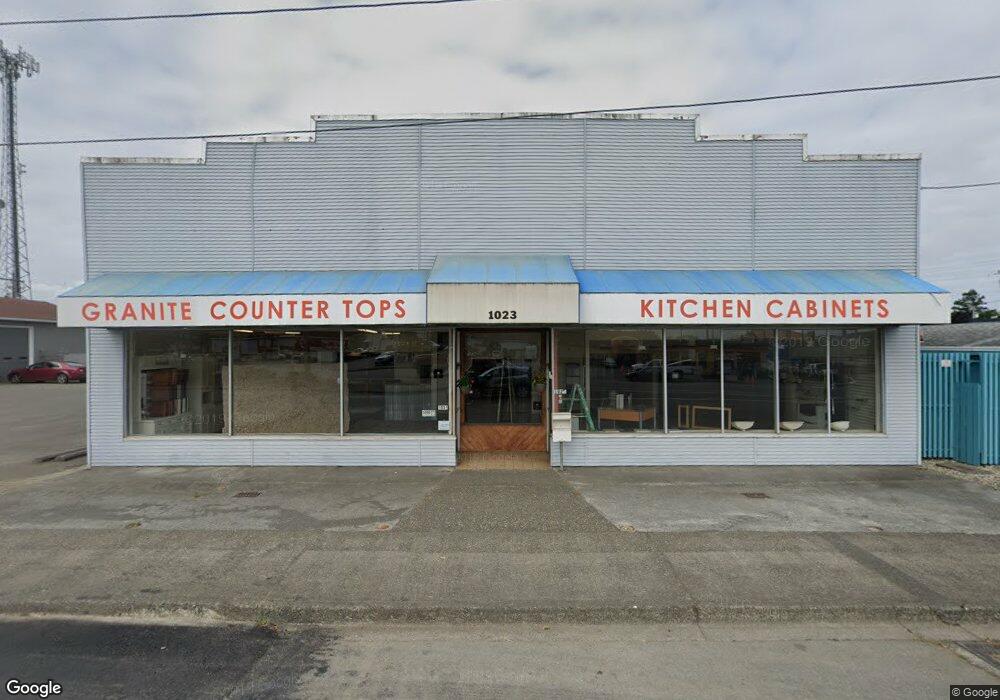
1035 S Broadway Coos Bay, OR 97420
Estimated Value: $562,289
--
Bed
--
Bath
8,400
Sq Ft
$67/Sq Ft
Est. Value
About This Home
This home is located at 1035 S Broadway, Coos Bay, OR 97420 and is currently estimated at $562,289, approximately $66 per square foot. 1035 S Broadway is a home located in Coos County with nearby schools including Eastside School, Millicoma School, and Marshfield Senior High School.
Ownership History
Date
Name
Owned For
Owner Type
Purchase Details
Closed on
Jul 25, 2021
Sold by
Clark William
Bought by
Pinedo Steve A and Pinedo Alicia
Current Estimated Value
Home Financials for this Owner
Home Financials are based on the most recent Mortgage that was taken out on this home.
Original Mortgage
$304,000
Outstanding Balance
$188,038
Interest Rate
2.93%
Mortgage Type
Commercial
Estimated Equity
$374,251
Purchase Details
Closed on
Jun 7, 2017
Sold by
Heistand Kenneth D and Heistand Debra L
Bought by
Clark William
Home Financials for this Owner
Home Financials are based on the most recent Mortgage that was taken out on this home.
Original Mortgage
$365,000
Interest Rate
4.03%
Mortgage Type
Seller Take Back
Purchase Details
Closed on
Jan 8, 2014
Sold by
Heistand Kenneth D and Heistand Debra L
Bought by
Heistand Kenneth D and Heistand Debra L
Create a Home Valuation Report for This Property
The Home Valuation Report is an in-depth analysis detailing your home's value as well as a comparison with similar homes in the area
Home Values in the Area
Average Home Value in this Area
Purchase History
| Date | Buyer | Sale Price | Title Company |
|---|---|---|---|
| Pinedo Steve A | $464,000 | Ticor Title Coquille | |
| Clark William | $389,000 | Ticor Title Company Of Or | |
| Heistand Kenneth D | -- | None Available |
Source: Public Records
Mortgage History
| Date | Status | Borrower | Loan Amount |
|---|---|---|---|
| Open | Pinedo Steve A | $304,000 | |
| Previous Owner | Clark William | $365,000 |
Source: Public Records
Tax History Compared to Growth
Tax History
| Year | Tax Paid | Tax Assessment Tax Assessment Total Assessment is a certain percentage of the fair market value that is determined by local assessors to be the total taxable value of land and additions on the property. | Land | Improvement |
|---|---|---|---|---|
| 2024 | $4,912 | $282,620 | -- | -- |
| 2023 | $4,764 | $274,390 | $0 | $0 |
| 2022 | $4,686 | $266,400 | $0 | $0 |
| 2021 | $4,564 | $258,650 | $0 | $0 |
| 2020 | $4,435 | $258,650 | $0 | $0 |
| 2019 | $4,258 | $243,810 | $0 | $0 |
| 2018 | $3,616 | $209,290 | $0 | $0 |
| 2017 | $3,287 | $209,290 | $0 | $0 |
| 2016 | $3,091 | $199,330 | $0 | $0 |
| 2015 | $3,758 | $214,330 | $0 | $0 |
| 2014 | $3,758 | $230,460 | $0 | $0 |
Source: Public Records
Map
Nearby Homes
- 1032 S 4th St
- 0 Ingersoll Ave
- 0 Johnson Ave
- 955 S 5th St
- 1050 S 8th St
- 0 S 5th St
- 63757 Harriet Rd
- 766 Southwest Blvd
- 905 Ingersoll St
- 63755 Flanagan Rd
- 0 Andrews Rd Unit 1 633770545
- 0 Andrews Rd
- 63606 Andrews Rd
- 63642 Flanagan Rd
- 834 S 11th St
- 93195 Coal Bank Ln
- 731 Elrod Ave
- 0 Elrod Ave
- 831 S 11th St
- 625 S 9th St