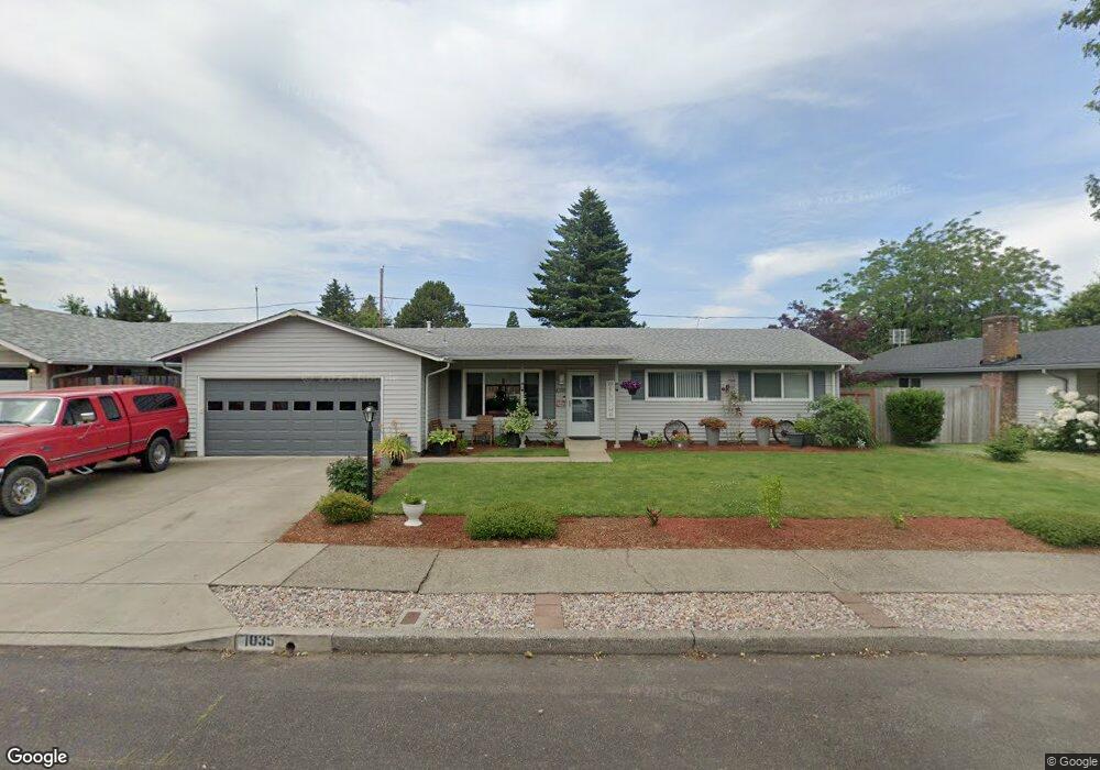
1035 SE 226th Ave Gresham, OR 97030
North Central NeighborhoodEstimated Value: $437,000 - $464,000
3
Beds
2
Baths
1,410
Sq Ft
$316/Sq Ft
Est. Value
About This Home
This home is located at 1035 SE 226th Ave, Gresham, OR 97030 and is currently estimated at $445,496, approximately $315 per square foot. 1035 SE 226th Ave is a home located in Multnomah County with nearby schools including Highland Elementary School, Clear Creek Middle School, and Gresham High School.
Ownership History
Date
Name
Owned For
Owner Type
Purchase Details
Closed on
Oct 17, 2025
Sold by
Dudley Christine C and Davis Christine C
Bought by
Davis Christine C and Davis Brad
Current Estimated Value
Purchase Details
Closed on
Jul 19, 2012
Sold by
Nicoletti Sam A
Bought by
Dudley Christine C
Home Financials for this Owner
Home Financials are based on the most recent Mortgage that was taken out on this home.
Original Mortgage
$163,975
Interest Rate
3.63%
Mortgage Type
FHA
Create a Home Valuation Report for This Property
The Home Valuation Report is an in-depth analysis detailing your home's value as well as a comparison with similar homes in the area
Home Values in the Area
Average Home Value in this Area
Purchase History
| Date | Buyer | Sale Price | Title Company |
|---|---|---|---|
| Davis Christine C | -- | Chicago Title | |
| Dudley Christine C | $167,000 | First American |
Source: Public Records
Mortgage History
| Date | Status | Borrower | Loan Amount |
|---|---|---|---|
| Previous Owner | Dudley Christine C | $163,975 |
Source: Public Records
Tax History
| Year | Tax Paid | Tax Assessment Tax Assessment Total Assessment is a certain percentage of the fair market value that is determined by local assessors to be the total taxable value of land and additions on the property. | Land | Improvement |
|---|---|---|---|---|
| 2025 | $4,093 | $201,150 | -- | -- |
| 2024 | $3,918 | $195,300 | -- | -- |
| 2023 | $3,570 | $189,620 | $0 | $0 |
| 2022 | $3,470 | $184,100 | $0 | $0 |
| 2021 | $3,383 | $178,740 | $0 | $0 |
| 2020 | $3,183 | $173,540 | $0 | $0 |
| 2019 | $3,100 | $168,490 | $0 | $0 |
| 2018 | $2,956 | $163,590 | $0 | $0 |
| 2017 | $2,836 | $158,830 | $0 | $0 |
| 2016 | $2,500 | $154,210 | $0 | $0 |
Source: Public Records
Map
Nearby Homes
- 1035 SE 225th Ave
- 450 NE 22nd St
- 535 NE 24th St
- 2775 NE Linden Ave
- 349 NE 18th St
- 1783 1791 NE Beech Place
- 21532 SE Alder St
- 210 SE 218th Ave
- 54 NW 13th St
- 2021 NE Liberty Ave
- 21525 SE Oak St
- 21553 SE Ankeny Terrace
- 21400 SE Stark St Unit 2
- 21260 SE Stark St
- 132 SE 214th Ave
- 209 SE 214th Ave
- 21033 SE Clay Ct
- 824 NW Mignonette Ave
- 21016 SE Stark St Unit 71
- 21016 SE Stark St Unit 69
- 1019 SE 226th Ave
- 1045 SE 226th Ave
- 1036 SE 225th Ave
- 1050 SE 225th Ave
- 1022 SE 225th Ave
- 1005 SE 226th Ave
- 1115 SE 226th Ave
- 1032 SE 226th Ave
- 1044 SE 226th Ave
- 1112 SE 225th Ave
- 1010 SE 225th Ave
- 1018 SE 226th Ave
- 1110 SE 226th Ave
- 1127 SE 226th Ave
- 943 SE 226th Ave
- 1000 SE 226th Ave
- 1120 SE 225th Ave
- 1124 SE 226th Ave
- 940 SE 225th Ave
- 1047 SE 225th Ave
Your Personal Tour Guide
Ask me questions while you tour the home.