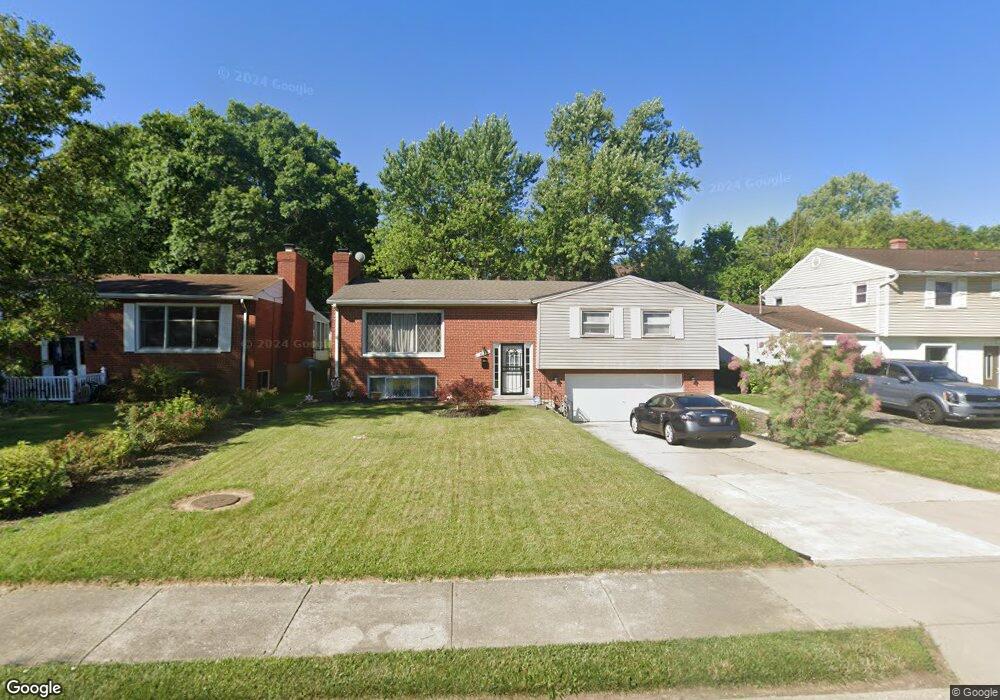
1035 Springbrook Dr Cincinnati, OH 45224
College Hill NeighborhoodEstimated Value: $256,025 - $282,000
About This Home
This home is located at 1035 Springbrook Dr, Cincinnati, OH 45224 and is currently estimated at $264,506, approximately $126 per square foot. 1035 Springbrook Dr is a home located in Hamilton County with nearby schools including Pleasant Hill Elementary School, Shroder High School, and Western Hills High School.
Ownership History
We collect this data history from publicly available records. To have your information removed, we recommend requesting removal directly through your county’s website.
Purchase Details
Home Financials for this Owner
Home Financials are based on the most recent Mortgage that was taken out on this home.Home Values in the Area
Average Home Value in this Area
Purchase History
We collect this data history from publicly available records. To have your information removed, we recommend requesting removal directly through your county’s website.
| Date | Buyer | Sale Price | Title Company |
|---|---|---|---|
| -- | -- |
Mortgage History
We collect this data history from publicly available records. To have your information removed, we recommend requesting removal directly through your county’s website.
| Date | Status | Borrower | Loan Amount |
|---|---|---|---|
| Closed | $83,400 |
Tax History
We collect this data history from publicly available records. To have your information removed, we recommend requesting removal directly through your county’s website.
| Year | Tax Paid | Tax Assessment Tax Assessment Total Assessment is a certain percentage of the fair market value that is determined by local assessors to be the total taxable value of land and additions on the property. | Land | Improvement |
|---|---|---|---|---|
| 2025 | $3,657 | $59,213 | $11,291 | $47,922 |
| 2023 | $3,626 | $59,213 | $11,291 | $47,922 |
| 2022 | $2,615 | $38,228 | $9,195 | $29,033 |
| 2021 | $2,513 | $38,228 | $9,195 | $29,033 |
| 2020 | $2,586 | $38,228 | $9,195 | $29,033 |
| 2019 | $2,481 | $33,530 | $8,064 | $25,466 |
| 2018 | $2,484 | $33,530 | $8,064 | $25,466 |
| 2017 | $2,360 | $33,530 | $8,064 | $25,466 |
| 2016 | $2,382 | $33,369 | $8,603 | $24,766 |
| 2015 | $2,148 | $33,369 | $8,603 | $24,766 |
| 2014 | $2,163 | $33,369 | $8,603 | $24,766 |
| 2013 | $2,268 | $34,402 | $8,869 | $25,533 |
Map
- 6556 Montevista Dr
- 6538 S Oak Knoll Dr
- 6480 Ridgefield Dr
- 6633 Daly Rd
- 6728 Sandalwood Ln
- 6721 Greenfield Dr
- 1215 Hollywood Ave
- 6669 Kirkland Dr
- 939 Winsray Ct
- 934 Winsray Ct
- 997 W North Bend Rd
- 920 Winsray Ct
- 6502 Edwood Ave
- 1127 W North Bend Rd
- 6101 Capri Dr
- 6621 Winton Rd
- 913 Bilamy Ct
- 6123 Hempwood Ave
- 935 W North Bend Rd
- 1277 Brushwood Ave
- 1048 Springbrook Dr
- 1044 Springbrook Dr
- 1052 Springbrook Dr
- 6520 Meadowvista Ct
- 6524 Meadowvista Ct
- 1038 Springbrook Dr
- 6514 Meadowvista Ct
- 6502 Meadowvista Ct
- 6528 Meadowvista Ct
- 1049 Springbrook Dr
- 1045 Springbrook Dr
- 1055 Springbrook Dr
- 1032 Springbrook Dr
- 1041 Springbrook Dr
- 6464 Meadowvista Ct
- 6532 Meadowvista Ct
- 1028 Springbrook Dr
- 1031 Springbrook Dr
- 1054 Roxie Ln
- 6521 Meadowvista Ct
Ask me questions while you tour the home.