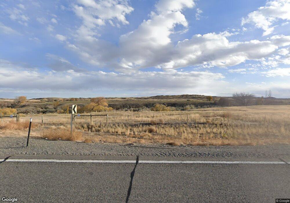
1035 State Highway 32 Powell, WY 82435
Estimated Value: $248,000
4
Beds
--
Bath
1,302
Sq Ft
$190/Sq Ft
Est. Value
About This Home
This home is located at 1035 State Highway 32, Powell, WY 82435 and is currently estimated at $248,000, approximately $190 per square foot. 1035 State Highway 32 is a home located in Big Horn County.
Create a Home Valuation Report for This Property
The Home Valuation Report is an in-depth analysis detailing your home's value as well as a comparison with similar homes in the area
Home Values in the Area
Average Home Value in this Area
Tax History Compared to Growth
Tax History
| Year | Tax Paid | Tax Assessment Tax Assessment Total Assessment is a certain percentage of the fair market value that is determined by local assessors to be the total taxable value of land and additions on the property. | Land | Improvement |
|---|---|---|---|---|
| 2025 | $1,074 | $16,622 | $16,622 | $0 |
| 2024 | $1,074 | $14,519 | $14,519 | $0 |
| 2023 | $1,148 | $15,511 | $15,511 | $0 |
| 2022 | $987 | $13,343 | $13,343 | $0 |
| 2021 | $908 | $12,264 | $12,264 | $0 |
| 2020 | $717 | $9,690 | $9,690 | $0 |
| 2019 | $690 | $9,395 | $9,395 | $0 |
| 2018 | $722 | $9,750 | $9,750 | $0 |
| 2017 | $741 | $10,430 | $10,430 | $0 |
| 2016 | $779 | $10,971 | $0 | $0 |
| 2015 | -- | $10,554 | $0 | $0 |
| 2014 | -- | $10,288 | $0 | $0 |
| 2013 | -- | $11,739 | $11,739 | $0 |
Source: Public Records
Map
Nearby Homes
- 124 Highway 14a W
- 587 & 589 Hwy 14a
- TBD W Main St Unit 2
- 7 E Riverview Ave
- 30 W Main St
- 148 Yellowstone Ave W
- TBD E Platte Ave
- TBD Road 4
- TBD Lane 22 Unit lot is on E. Willwoo
- TBD Wyoming 114 Unit Parcel D
- TBD Wyoming 114 Unit Parcel C
- TBD Wyoming 114 Unit Parcel B
- 0 County Road 5
- 423 Lane 12
- TBD Lane 8 1 2
- TBD Lane 23
- 871 E Christy Ln
- TBD Lane 7 Unit Lot 3
- TBD Lane 7 Unit Lot 2
- TBD Lane 7 Unit Lot 1
