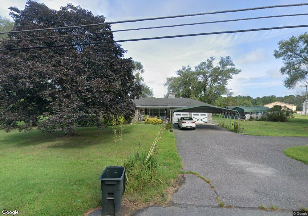
1035 Steep Run Rd Millville, NJ 08332
Estimated Value: $234,000 - $350,000
--
Bed
--
Bath
1,626
Sq Ft
$178/Sq Ft
Est. Value
About This Home
This home is located at 1035 Steep Run Rd, Millville, NJ 08332 and is currently estimated at $288,628, approximately $177 per square foot. 1035 Steep Run Rd is a home located in Cumberland County with nearby schools including Commercial Township School and Port Norris Elementary School.
Ownership History
Date
Name
Owned For
Owner Type
Purchase Details
Closed on
Jun 2, 2011
Sold by
Brewster F Asa and Brewster Myrtie E
Bought by
Brewster Vaults And Monuments Inc
Current Estimated Value
Home Financials for this Owner
Home Financials are based on the most recent Mortgage that was taken out on this home.
Original Mortgage
$150,000
Outstanding Balance
$103,939
Interest Rate
4.74%
Mortgage Type
Purchase Money Mortgage
Estimated Equity
$184,689
Create a Home Valuation Report for This Property
The Home Valuation Report is an in-depth analysis detailing your home's value as well as a comparison with similar homes in the area
Home Values in the Area
Average Home Value in this Area
Purchase History
| Date | Buyer | Sale Price | Title Company |
|---|---|---|---|
| Brewster Vaults And Monuments Inc | $150,000 | -- |
Source: Public Records
Mortgage History
| Date | Status | Borrower | Loan Amount |
|---|---|---|---|
| Open | Brewster Vaults And Monuments Inc | $150,000 |
Source: Public Records
Tax History Compared to Growth
Tax History
| Year | Tax Paid | Tax Assessment Tax Assessment Total Assessment is a certain percentage of the fair market value that is determined by local assessors to be the total taxable value of land and additions on the property. | Land | Improvement |
|---|---|---|---|---|
| 2025 | $4,614 | $154,100 | $39,400 | $114,700 |
| 2024 | $4,614 | $154,100 | $39,400 | $114,700 |
| 2023 | $4,551 | $154,100 | $39,400 | $114,700 |
| 2022 | $4,506 | $154,100 | $39,400 | $114,700 |
| 2021 | $4,432 | $154,100 | $39,400 | $114,700 |
| 2020 | $4,955 | $176,100 | $49,400 | $126,700 |
| 2019 | $4,633 | $176,100 | $49,400 | $126,700 |
| 2018 | $4,668 | $176,100 | $49,400 | $126,700 |
| 2017 | $4,512 | $176,100 | $49,400 | $126,700 |
| 2016 | $4,366 | $176,100 | $49,400 | $126,700 |
| 2015 | $4,394 | $176,100 | $49,400 | $126,700 |
| 2014 | $4,223 | $176,100 | $49,400 | $126,700 |
Source: Public Records
Map
Nearby Homes
- 9087 Highland St
- 2029 E Buckshutem Rd
- 1832 E Buckshutem Rd
- 1880 E Buckshutem Rd
- 9516 Highland St
- 7122 James Moore Rd
- 7086 James Moore Rd
- 1223 Front St
- 1224 Front St
- 7314 Keron Dr
- 7306 Keron Dr
- 7045 Charles Place
- 1528 North Ave
- 7637 Joseph St
- 7754 Raymond Dr
- 7330 William Ave
- 7244 Keron Dr
- 7150 Samuel Dr
- 7625 Joseph St
- 7612 Joseph St
- 1011 Steep Run Rd
- 8092 Ferry Rd
- 1003 Steep Run Rd
- 8096 Ferry Rd
- 8106 Ferry Rd
- 8037 Ferry Rd
- 8082 Highland St
- 992 Steep Run Rd
- 8110 Ferry Rd
- 1089 Steep Run Rd
- 8744 Highland St
- 8754 Highland St
- 8094 Highland St
- 8740 Highland St
- 8756 Highland St
- 8756 Highland St
- 8708 Ferry Rd
- 8762 Highland St
- 8741 Highland St
- 8739 Highland St