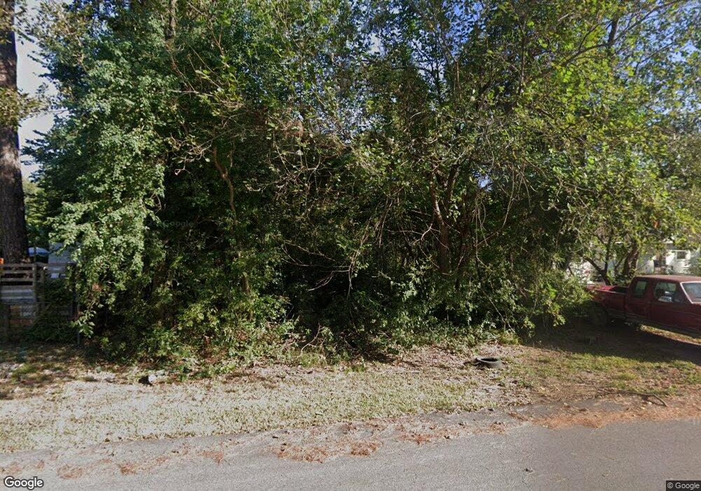
1035 Tunell Ln Houston, TX 77032
Greenspoint NeighborhoodEstimated Value: $93,000 - $121,000
--
Bed
--
Bath
--
Sq Ft
6,534
Sq Ft Lot
About This Home
This home is located at 1035 Tunell Ln, Houston, TX 77032 and is currently estimated at $107,000. 1035 Tunell Ln is a home located in Harris County with nearby schools including Calvert Elementary School, Nimitz Ninth Grade School, and Teague Middle School.
Ownership History
Date
Name
Owned For
Owner Type
Purchase Details
Closed on
Jun 28, 2022
Sold by
Emdobe Llc
Bought by
Harris County Flood Control District
Current Estimated Value
Purchase Details
Closed on
Oct 31, 2007
Sold by
Coytrecan Properties Inc
Bought by
Emdobe Llc
Purchase Details
Closed on
Nov 4, 2005
Sold by
Fannie Mae
Bought by
Coytrecan Properties Inc
Purchase Details
Closed on
Sep 6, 2005
Sold by
Lupo Kenneth G and Lupo Mary
Bought by
Federal National Mortgage Association
Purchase Details
Closed on
May 24, 1999
Sold by
Lile Stella P
Bought by
Lupo Kenneth G
Create a Home Valuation Report for This Property
The Home Valuation Report is an in-depth analysis detailing your home's value as well as a comparison with similar homes in the area
Home Values in the Area
Average Home Value in this Area
Purchase History
| Date | Buyer | Sale Price | Title Company |
|---|---|---|---|
| Harris County Flood Control District | $25,000 | None Listed On Document | |
| Emdobe Llc | -- | None Available | |
| Coytrecan Properties Inc | -- | Texas American Title Company | |
| Federal National Mortgage Association | $40,703 | -- | |
| Lupo Kenneth G | -- | -- |
Source: Public Records
Tax History Compared to Growth
Tax History
| Year | Tax Paid | Tax Assessment Tax Assessment Total Assessment is a certain percentage of the fair market value that is determined by local assessors to be the total taxable value of land and additions on the property. | Land | Improvement |
|---|---|---|---|---|
| 2025 | -- | -- | -- | -- |
| 2024 | -- | -- | -- | -- |
| 2023 | -- | -- | -- | -- |
| 2022 | $732 | $35,690 | $35,690 | $0 |
| 2021 | $461 | $21,414 | $21,414 | $0 |
| 2020 | $486 | $21,414 | $21,414 | $0 |
| 2019 | $509 | $21,414 | $21,414 | $0 |
| 2018 | $307 | $21,414 | $21,414 | $0 |
| 2017 | $485 | $21,414 | $21,414 | $0 |
| 2016 | $245 | $10,811 | $10,811 | $0 |
| 2015 | $241 | $10,811 | $10,811 | $0 |
| 2014 | $241 | $10,811 | $10,811 | $0 |
Source: Public Records
Map
Nearby Homes
- 1042 Tunell Ln
- 15607 Dowlwood Dr
- 1403 Old Greens Rd
- 810 Benmar Dr
- 1114 Blackwood Ave
- 1159 Aldine Meadows Rd
- 0 W Hardy Rd Unit 90623815
- 15607 Weldon Dr
- 15611 Martineau St
- 2112 Greenbriar Colony Dr
- 2120 Greenbriar Colony Dr
- 2115 Whittier Dr
- 2142 Greenbriar Colony Dr
- 2129 Whittier Dr
- 2106 Shiveley Cir
- 15522 Blake Way St
- 14811 W Hardy Rd
- 16124 Aldine Westfield Rd
- 16102 Aldine Westfield Rd
- 17202 Imperial Valley Dr Unit 34
- 1037 Tunell Ln
- 1052 Logandale Ln
- 1035 Benmar Dr
- 1035 Logandale Ln
- 1057 Tunell Ln
- 1031 Benmar Dr
- 1054 Tunell Ln
- 1022 Benmar Dr
- 1043 Logandale Ln
- 1043 Benmar Dr
- 1038 Veller Dr
- 1042 Veller Dr
- 1026 Benmar Dr
- 1026 Benmar Dr
- 1038 Benmar Dr
- 1018 Veller Dr
- 1042 Benmar Dr
- 1050 Veller Dr
- 15626 Tallshadows Dr
- 1018 Benmar Dr