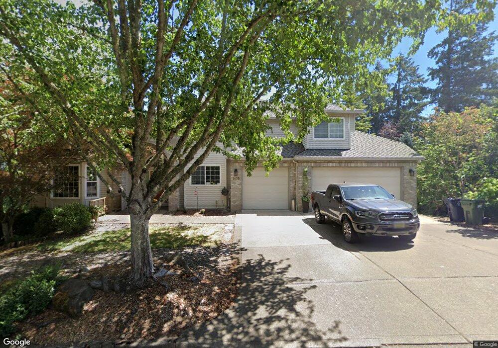
1035 Tyndall Ct Lake Oswego, OR 97034
Palisades NeighborhoodEstimated Value: $1,509,012 - $2,146,000
4
Beds
4
Baths
4,666
Sq Ft
$375/Sq Ft
Est. Value
About This Home
This home is located at 1035 Tyndall Ct, Lake Oswego, OR 97034 and is currently estimated at $1,751,503, approximately $375 per square foot. 1035 Tyndall Ct is a home located in Clackamas County with nearby schools including Hallinan Elementary School, Lakeridge Middle School, and Lakeridge High School.
Ownership History
Date
Name
Owned For
Owner Type
Purchase Details
Closed on
May 27, 2022
Sold by
Oyama Kevin K
Bought by
Kevin And Karen Oyama Family Trust
Current Estimated Value
Purchase Details
Closed on
Feb 1, 2000
Sold by
Palmer Gary A and Palmer Suzanne B
Bought by
Oyama Kevin K and Oyama Karen A
Home Financials for this Owner
Home Financials are based on the most recent Mortgage that was taken out on this home.
Original Mortgage
$466,450
Interest Rate
8.06%
Purchase Details
Closed on
Jan 9, 1996
Sold by
Sun Ridge Construction Inc
Bought by
Palmer Gary A and Palmer Suzanne B
Home Financials for this Owner
Home Financials are based on the most recent Mortgage that was taken out on this home.
Original Mortgage
$464,000
Interest Rate
6.25%
Create a Home Valuation Report for This Property
The Home Valuation Report is an in-depth analysis detailing your home's value as well as a comparison with similar homes in the area
Home Values in the Area
Average Home Value in this Area
Purchase History
| Date | Buyer | Sale Price | Title Company |
|---|---|---|---|
| Kevin And Karen Oyama Family Trust | -- | Law Office Of Karen B Dawson P | |
| Oyama Kevin K | $583,100 | Chicago Title Insurance Co | |
| Palmer Gary A | $580,000 | Stewart Title |
Source: Public Records
Mortgage History
| Date | Status | Borrower | Loan Amount |
|---|---|---|---|
| Previous Owner | Oyama Kevin K | $466,450 | |
| Previous Owner | Palmer Gary A | $464,000 | |
| Closed | Oyama Kevin K | $58,300 |
Source: Public Records
Tax History Compared to Growth
Tax History
| Year | Tax Paid | Tax Assessment Tax Assessment Total Assessment is a certain percentage of the fair market value that is determined by local assessors to be the total taxable value of land and additions on the property. | Land | Improvement |
|---|---|---|---|---|
| 2025 | $17,778 | $927,771 | -- | -- |
| 2024 | $17,304 | $900,749 | -- | -- |
| 2023 | $17,304 | $874,514 | $0 | $0 |
| 2022 | $16,297 | $849,043 | $0 | $0 |
| 2021 | $15,051 | $824,314 | $0 | $0 |
| 2020 | $14,638 | $800,305 | $0 | $0 |
| 2019 | $14,195 | $776,996 | $0 | $0 |
| 2018 | $13,610 | $754,365 | $0 | $0 |
| 2017 | $13,051 | $732,393 | $0 | $0 |
| 2016 | $11,918 | $711,061 | $0 | $0 |
| 2015 | $11,247 | $690,350 | $0 | $0 |
| 2014 | $10,920 | $670,243 | $0 | $0 |
Source: Public Records
Map
Nearby Homes
- 1093 Tyndall Ct
- 1224 Tyndall Ct
- 1405 Cherry Crest Ave
- 1015 Southshore Blvd
- 1300 Tyndall Ct
- 1520 Cherry Crest Ave
- 1410 Woodland Terrace
- 1467 Greentree Cir
- 731 Clara Ct
- 800 Terrace Dr
- 1700 Woodland Terrace
- 1720 Kilkenny Dr
- 1725 Southshore Blvd
- 1710 S Shore Blvd
- 1865 Palisades Lake Ct
- 1872 Palisades Terrace Dr
- 1847 Woodland Terrace
- 1674 Fircrest Dr
- 1951 Greentree Rd
- 1535 Larch St
- 17350 Wall St
- 17300 Wall St
- 1100 Tyndall Ct
- 16652 Woodsman Ct
- 1159 Tyndall Ct
- 17325 Wall St
- 17250 Wall St
- 16570 Woodsman Ct
- 16723 Quail Ct
- 17385 Wall St
- 16633 Woodsman Ct
- 16736 Sylvan Ct
- 16589 Woodsman Ct
- 16717 Sylvan Ct
- 16767 Quail Ct
- 17230 Wall St
- 965 Southshore Blvd
- 1217 Tyndall Ct
- 16754 Quail Ct
- 985 Southshore Blvd