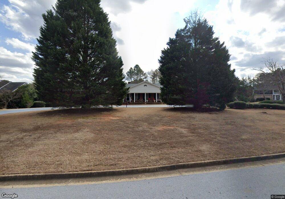
1035 Vine Ct SE Conyers, GA 30013
Estimated Value: $362,288 - $479,000
3
Beds
3
Baths
2,361
Sq Ft
$171/Sq Ft
Est. Value
About This Home
This home is located at 1035 Vine Ct SE, Conyers, GA 30013 and is currently estimated at $404,822, approximately $171 per square foot. 1035 Vine Ct SE is a home located in Rockdale County with nearby schools including Flat Shoals Elementary School, Memorial Middle School, and Rockdale County High School.
Ownership History
Date
Name
Owned For
Owner Type
Purchase Details
Closed on
May 25, 2010
Sold by
Goss Shiree M
Bought by
Haley Elizabeth A Living Trust
Current Estimated Value
Purchase Details
Closed on
Jun 30, 2009
Sold by
Mann Helen P
Bought by
Goss Shiree M
Create a Home Valuation Report for This Property
The Home Valuation Report is an in-depth analysis detailing your home's value as well as a comparison with similar homes in the area
Home Values in the Area
Average Home Value in this Area
Purchase History
| Date | Buyer | Sale Price | Title Company |
|---|---|---|---|
| Haley Elizabeth A Living Trust | $203,000 | -- | |
| Goss Shiree M | -- | -- |
Source: Public Records
Tax History Compared to Growth
Tax History
| Year | Tax Paid | Tax Assessment Tax Assessment Total Assessment is a certain percentage of the fair market value that is determined by local assessors to be the total taxable value of land and additions on the property. | Land | Improvement |
|---|---|---|---|---|
| 2024 | $3,006 | $149,040 | $29,360 | $119,680 |
| 2023 | $2,797 | $147,000 | $29,360 | $117,640 |
| 2022 | $2,850 | $136,800 | $29,360 | $107,440 |
| 2021 | $2,719 | $124,720 | $27,400 | $97,320 |
| 2020 | $2,504 | $113,880 | $20,880 | $93,000 |
| 2019 | $1,884 | $91,360 | $14,240 | $77,120 |
| 2018 | $3,559 | $78,280 | $14,240 | $64,040 |
| 2017 | $3,215 | $70,000 | $14,240 | $55,760 |
| 2016 | $3,027 | $65,880 | $10,120 | $55,760 |
| 2015 | $3,277 | $71,280 | $10,120 | $61,160 |
| 2014 | $2,755 | $59,200 | $9,000 | $50,200 |
| 2013 | -- | $78,880 | $14,920 | $63,960 |
Source: Public Records
Map
Nearby Homes
- 2474 Harvest Dr SE
- 1019 Henna Ct SE
- 2684 Harvest Dr SE
- 1180 Azalea Cir SE
- 1260 Sweet Shrub Ln SE
- 2754 Harvest Dr SE
- 2464 Lennox Rd SE
- 2197 Boxwood Cir
- 1242 Saxony Dr SE
- 2608 Downing Park Dr SE
- 1402 Aramore Dr SE
- 2561 Old Salem Cir SE
- 1408 Aramore Dr SE
- Boston Plan at Millers Pointe
- Atlanta Plan at Millers Pointe
- Columbus Plan at Millers Pointe
- 1920 Logan Ln
- 2537 Lennox Rd SE
- Astrid Plan at Alder Park
- Harrison Plan at Alder Park
- 1057 Vine Ct SE
- 1025 Vine Ct SE
- 1054 Marthas Way SE
- 1038 Marthas Way SE
- 1052 Vine Ct SE
- 1024 Vine Ct SE
- 1034 Vine Ct SE Unit 7
- 1034 Vine Ct SE
- 2458 Harvest Dr SE
- 2488 Harvest Dr SE
- 0 Harvest Dr SE Unit 8696486
- 0 Harvest Dr SE Unit 8657124
- 0 Harvest Dr SE Unit 8033191
- 0 Harvest Dr SE Unit 9031977
- 0 Harvest Dr SE Unit 8802067
- 0 Harvest Dr SE Unit 8807514
- 0 Harvest Dr SE Unit 3075950
- 0 Harvest Dr SE Unit 3090234
- 0 Harvest Dr SE Unit 3133255
- 0 Harvest Dr SE Unit 3204162