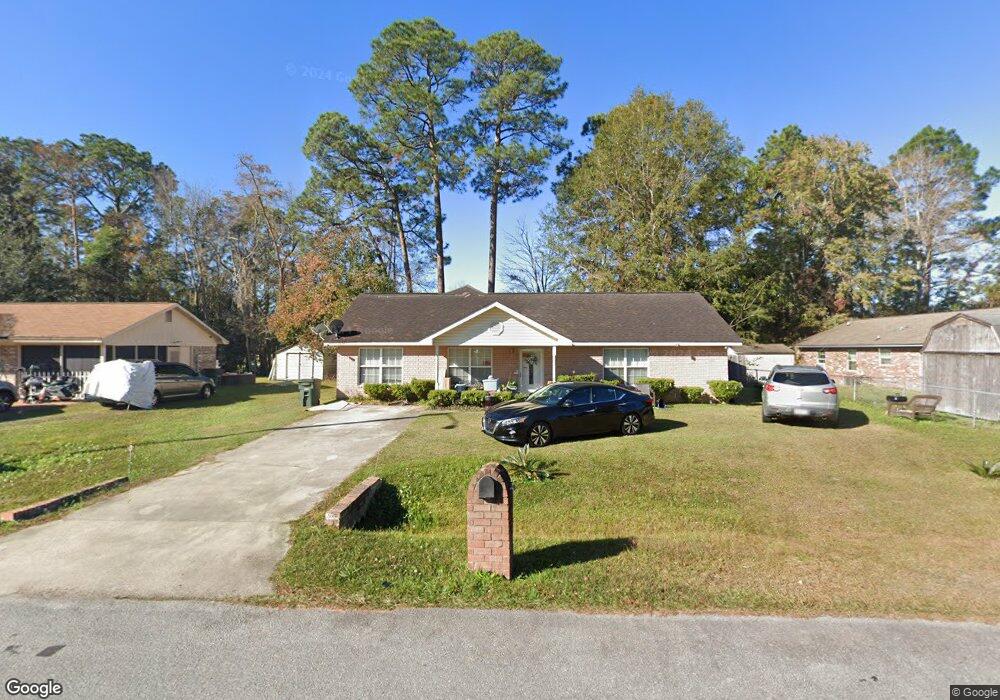
1035 White Cir Hinesville, GA 31313
Estimated Value: $212,000 - $223,666
3
Beds
1
Bath
1,400
Sq Ft
$157/Sq Ft
Est. Value
About This Home
This home is located at 1035 White Cir, Hinesville, GA 31313 and is currently estimated at $219,167, approximately $156 per square foot. 1035 White Cir is a home located in Liberty County with nearby schools including Waldo Pafford Elementary School, Snelson-Golden Middle School, and Bradwell Institute.
Ownership History
Date
Name
Owned For
Owner Type
Purchase Details
Closed on
Dec 4, 1986
Sold by
Farmers Home Admin
Bought by
Duvall Gary T and Duvall Suerena M
Current Estimated Value
Purchase Details
Closed on
Feb 1, 1986
Sold by
Young Eileen
Bought by
Farmer Home Administration
Purchase Details
Closed on
Aug 24, 1984
Sold by
Farmers Home Administration
Bought by
Young Eileen
Purchase Details
Closed on
Jul 24, 1984
Sold by
Walthour James and Walthour Mary E
Bought by
Farmers Home Administration
Purchase Details
Closed on
Sep 24, 1982
Bought by
Walthour James and Walthour Mary E
Create a Home Valuation Report for This Property
The Home Valuation Report is an in-depth analysis detailing your home's value as well as a comparison with similar homes in the area
Home Values in the Area
Average Home Value in this Area
Purchase History
| Date | Buyer | Sale Price | Title Company |
|---|---|---|---|
| Duvall Gary T | $37,500 | -- | |
| Farmer Home Administration | $33,000 | -- | |
| Young Eileen | $38,200 | -- | |
| Farmers Home Administration | -- | -- | |
| Walthour James | -- | -- |
Source: Public Records
Tax History Compared to Growth
Tax History
| Year | Tax Paid | Tax Assessment Tax Assessment Total Assessment is a certain percentage of the fair market value that is determined by local assessors to be the total taxable value of land and additions on the property. | Land | Improvement |
|---|---|---|---|---|
| 2024 | $2,889 | $78,858 | $12,000 | $66,858 |
| 2023 | $2,889 | $70,654 | $12,000 | $58,654 |
| 2022 | $2,058 | $47,958 | $6,000 | $41,958 |
| 2021 | $1,910 | $44,020 | $6,000 | $38,020 |
| 2020 | $1,949 | $44,468 | $6,000 | $38,468 |
| 2019 | $1,956 | $44,916 | $6,000 | $38,916 |
| 2018 | $1,967 | $45,365 | $6,000 | $39,365 |
| 2017 | $1,509 | $45,813 | $6,000 | $39,813 |
| 2016 | $1,919 | $46,264 | $6,000 | $40,264 |
| 2015 | $2,013 | $46,264 | $6,000 | $40,264 |
| 2014 | $2,013 | $48,247 | $6,000 | $42,247 |
| 2013 | -- | $45,670 | $6,000 | $39,670 |
Source: Public Records
Map
Nearby Homes
- 796 Peggy Sue St
- 979B Pineland Ave Unit B
- 979B Pineland Ave
- 985 Pineland Ave
- 936 Pineland Ave
- 970 Whippoorwill Way
- 648 Honey Ridge Ln
- 642 Honey Ridge Ln
- 700 Kadi Ln
- 1040 Varnedoe St
- 1021 Bacon Rd
- 912 Pineland Ave Unit 23
- 14.96 Ac Ellie Ln
- 1100 Pineland Ave Unit 2D
- 253 Glenn Bryant Rd
- 0 Elma G Miles Pkwy Unit 324139
- 910 Brett Dr Unit 53
- 910 Brett Dr
- 725 Sharon St
- 773 Shuman St
- 803 Wildwood Dr
- 1033 White Cir
- 1031 White Cir
- 1034 White Cir
- 801 Wildwood Dr
- 0 Dave Williams Rd
- Wexford Wexford Dr
- 0 Amhearst Row
- 1029 White Cir
- 969 Pineland Ave
- 798 Peggy Sue St
- 967 Pineland Ave
- 802 Wildwood Dr
- 971 Pineland Ave
- 800 Wildwood Dr
- 801 Peggy Sue St
- 965 Pineland Ave
- 973 Pineland Ave
- 1027 White Cir
- 797 Wildwood Dr