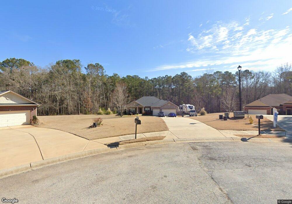
1035 Yorkshire Dr Griffin, GA 30223
Spalding County NeighborhoodEstimated Value: $400,562 - $432,000
4
Beds
3
Baths
2,436
Sq Ft
$171/Sq Ft
Est. Value
About This Home
This home is located at 1035 Yorkshire Dr, Griffin, GA 30223 and is currently estimated at $415,641, approximately $170 per square foot. 1035 Yorkshire Dr is a home located in Spalding County with nearby schools including Jordan Hill Road Elementary School, Kennedy Road Middle School, and Spalding High School.
Ownership History
Date
Name
Owned For
Owner Type
Purchase Details
Closed on
Aug 12, 2016
Sold by
Adams Homes Aec Llc
Bought by
Escott William J and Escott Michelle L
Current Estimated Value
Home Financials for this Owner
Home Financials are based on the most recent Mortgage that was taken out on this home.
Original Mortgage
$204,300
Outstanding Balance
$162,691
Interest Rate
3.42%
Mortgage Type
VA
Estimated Equity
$252,950
Purchase Details
Closed on
Nov 25, 2011
Sold by
Griffin Spalding Co Land Bank
Bought by
Adams Homes Aec Llc
Purchase Details
Closed on
Sep 6, 2011
Sold by
Spalding County Tax Commis
Bought by
Griffin Spalding Land Bank Aut
Create a Home Valuation Report for This Property
The Home Valuation Report is an in-depth analysis detailing your home's value as well as a comparison with similar homes in the area
Home Values in the Area
Average Home Value in this Area
Purchase History
| Date | Buyer | Sale Price | Title Company |
|---|---|---|---|
| Escott William J | $204,700 | -- | |
| Adams Homes Aec Llc | -- | -- | |
| Griffin Spalding Land Bank Aut | $1,559 | -- |
Source: Public Records
Mortgage History
| Date | Status | Borrower | Loan Amount |
|---|---|---|---|
| Open | Escott William J | $204,300 |
Source: Public Records
Tax History Compared to Growth
Tax History
| Year | Tax Paid | Tax Assessment Tax Assessment Total Assessment is a certain percentage of the fair market value that is determined by local assessors to be the total taxable value of land and additions on the property. | Land | Improvement |
|---|---|---|---|---|
| 2024 | $5,654 | $158,461 | $16,000 | $142,461 |
| 2023 | $5,654 | $146,394 | $16,000 | $130,394 |
| 2022 | $4,410 | $121,711 | $16,000 | $105,711 |
| 2021 | $3,525 | $97,376 | $16,000 | $81,376 |
| 2020 | $3,342 | $92,007 | $16,000 | $76,007 |
| 2019 | $3,208 | $86,638 | $16,000 | $70,638 |
| 2018 | $3,041 | $80,072 | $16,000 | $64,072 |
| 2017 | $2,790 | $73,692 | $9,600 | $64,092 |
| 2016 | $414 | $9,600 | $9,600 | $0 |
| 2015 | $424 | $9,600 | $9,600 | $0 |
| 2014 | $432 | $9,600 | $9,600 | $0 |
Source: Public Records
Map
Nearby Homes
- 1037 Yorkshire Dr
- 1025 Longview Trail
- 1008 Yorkshire Dr
- 107 Jasons Ridge Unit 2
- 120 Ohoopee Dr
- 1403 Wild Cherry Ct
- 1405 Wild Cherry Ct
- 126 Jasons Ridge
- 410 Overcup Ct
- 181 Alcovy Ct
- 1304 Bugle Ct
- 1312 Bugle Ct
- 128 Little Gem Ct
- 502 Beautyberry Dr
- 198 Alcovy Ct
- 555 Beautyberry Dr
- 105 Salvia Ct
- 106 Little Gem Ct
- 111 Marigold Ct
- 1225 Bartam Dr
- 1035 Yorkshire Dr Unit 46
- 1033 Yorkshire Dr
- 1033 Yorkshire Dr Unit 45
- 1037 Yorkshire Dr Unit 47
- 1036 Yorkshire Dr Unit 48
- 1036 Yorkshire Dr
- 1200 Ashbury Loop Rd
- 1202 Ashbury Loop Rd Unit 43
- 1202 Ashbury Loop Rd
- 1034 Yorkshire Dr Unit 49
- 1034 Yorkshire Dr
- 1032 Yorkshire Dr Unit 50
- 1032 Yorkshire Dr
- 1204 Ashbury Loop Rd Unit 42
- 1204 Ashbury Loop Rd
- 1030 Yorkshire Dr
- 1030 Yorkshire Dr Unit 51
- 1206 Ashbury Loop Rd
- 1206 Ashbury Loop Rd Unit 41
- 1201 Ashbury Loop Rd Unit 32