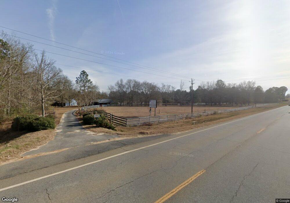
10350 Ga Highway 121 S Cobbtown, GA 30420
Estimated Value: $548,000 - $721,405
4
Beds
4
Baths
5,554
Sq Ft
$114/Sq Ft
Est. Value
About This Home
This home is located at 10350 Ga Highway 121 S, Cobbtown, GA 30420 and is currently estimated at $634,703, approximately $114 per square foot. 10350 Ga Highway 121 S is a home with nearby schools including Metter Elementary School, Metter Intermediate School, and Metter Middle School.
Ownership History
Date
Name
Owned For
Owner Type
Purchase Details
Closed on
Sep 30, 2021
Sold by
Giannetti Alfred C
Bought by
Francis Sherman K and Francis Lisa C
Current Estimated Value
Home Financials for this Owner
Home Financials are based on the most recent Mortgage that was taken out on this home.
Original Mortgage
$512,000
Outstanding Balance
$465,882
Interest Rate
2.8%
Mortgage Type
New Conventional
Estimated Equity
$168,821
Purchase Details
Closed on
May 14, 2003
Sold by
Martin Larry D
Bought by
Giannetti Alfred C and Giannetti Marjorie L
Purchase Details
Closed on
Apr 1, 1989
Sold by
Federal Land Bank
Bought by
Martin Larry D
Purchase Details
Closed on
Oct 1, 1988
Bought by
Federal Land Bank
Create a Home Valuation Report for This Property
The Home Valuation Report is an in-depth analysis detailing your home's value as well as a comparison with similar homes in the area
Home Values in the Area
Average Home Value in this Area
Purchase History
| Date | Buyer | Sale Price | Title Company |
|---|---|---|---|
| Francis Sherman K | -- | -- | |
| Francis Sherman K | $682,000 | -- | |
| Giannetti Alfred C | $250,000 | -- | |
| Martin Larry D | $37,500 | -- | |
| Federal Land Bank | $63,600 | -- |
Source: Public Records
Mortgage History
| Date | Status | Borrower | Loan Amount |
|---|---|---|---|
| Open | Francis Sherman K | $512,000 | |
| Closed | Francis Sherman K | $512,000 |
Source: Public Records
Tax History Compared to Growth
Tax History
| Year | Tax Paid | Tax Assessment Tax Assessment Total Assessment is a certain percentage of the fair market value that is determined by local assessors to be the total taxable value of land and additions on the property. | Land | Improvement |
|---|---|---|---|---|
| 2024 | $6,681 | $226,407 | $19,992 | $206,415 |
| 2023 | $6,681 | $226,875 | $19,992 | $206,883 |
| 2022 | $4,889 | $191,843 | $19,992 | $171,851 |
| 2021 | $6,147 | $202,014 | $22,043 | $179,971 |
| 2020 | $6,334 | $208,213 | $22,043 | $186,170 |
| 2019 | $6,353 | $208,213 | $22,043 | $186,170 |
| 2018 | $5,776 | $207,371 | $22,615 | $184,756 |
| 2017 | $5,425 | $207,371 | $22,615 | $184,756 |
Source: Public Records
Map
Nearby Homes
- 3221 Pittman Rd
- Pittman Road and Hwy 121 S
- 6424 Collins Rd
- 9418 Donnell Rd
- Canoochee Rd
- 0 Canoochee Rd Unit 10565737
- 02 MacWac Lake Rd
- 16877 Highway 129
- 390 Church St
- 17167 Evergreen Rd
- 0 Mann Sikes Rd Unit 10612891
- 6681 Georgia 152
- 0 Kermit Rd
- 4009 Evergreen Church Rd
- 0 Henry Moxley Rd Unit 24437680
- 0 Henry Moxley Rd Unit 10582632
- 0 Gary Barnard Rd Unit LOT 8 10497582
- 0 Oak Tree Rd Unit (31.62 AC) 10490874
- 286 Webb Cir
- 195 Mollie Bowen Ln
- 10350 Ga Highway 121 S
- 10900 Ga Highway 121 S
- 10601 Georgia 121
- 9850 Ga Highway 121 S
- 9850 Georgia 121
- 1020 Collins Rd
- 13211 Holland Rd
- 13016 Holland Rd
- 1280 Collins Rd
- 1138 Mourning Dove Ln
- 9602 Ga Highway 121 S
- 12647 Ga Highway 121 S
- 1966 Mourning Dove Ln
- 1803 Collins Rd
- 0 Collins Raod Unit 20147720
- 2172 Mourning Dove Ln
- 195 Mourning Dove Ln
- 481 Mourning Dove Ln
- 12405 Holland Rd
- 8691 Ga Highway 121 S Unit 4 Acres