Estimated Value: $326,000 - $531,649
3
Beds
2
Baths
2,336
Sq Ft
$173/Sq Ft
Est. Value
About This Home
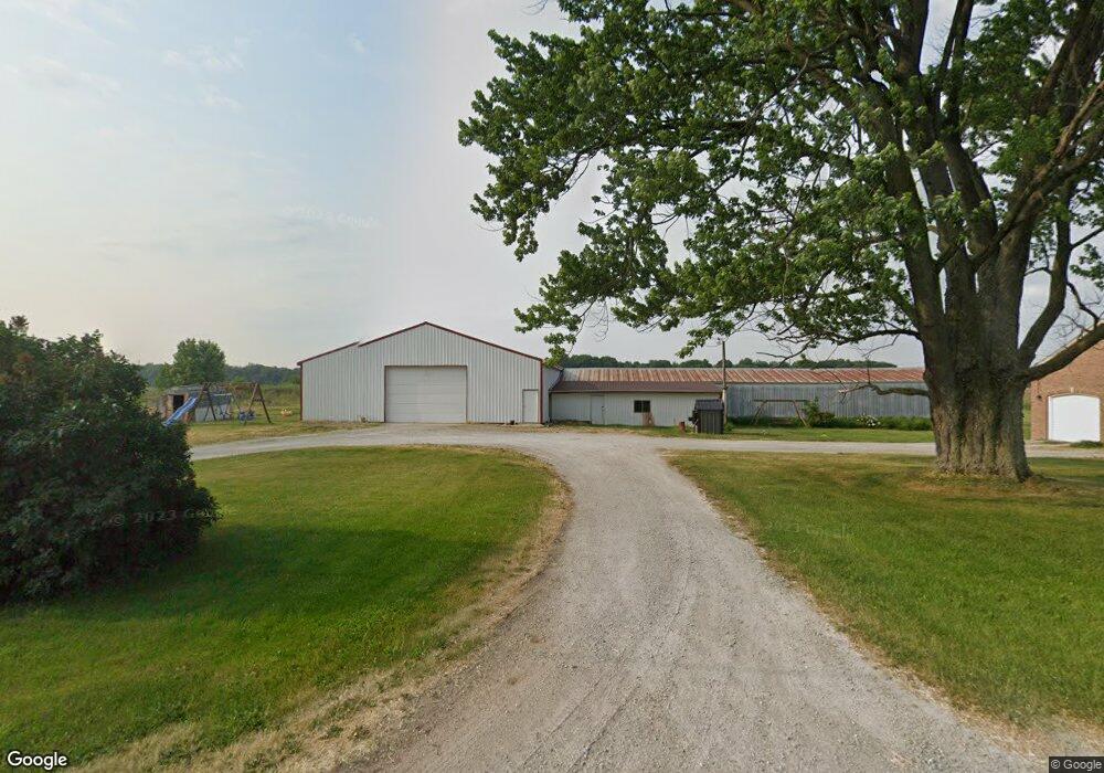
This home is located at 10351 12b Rd, Argos, IN 46501 and is currently estimated at $403,883, approximately $172 per square foot. 10351 12b Rd is a home located in Marshall County with nearby schools including Plymouth High School.
Ownership History
Date
Name
Owned For
Owner Type
Purchase Details
Closed on
Apr 10, 2019
Sold by
Hoff Tim and Hoff Angela
Bought by
Pontius Mark D and Pontius Beth E
Current Estimated Value
Home Financials for this Owner
Home Financials are based on the most recent Mortgage that was taken out on this home.
Original Mortgage
$403,000
Outstanding Balance
$352,124
Interest Rate
4%
Mortgage Type
Commercial
Estimated Equity
$51,759
Purchase Details
Closed on
Apr 8, 2019
Sold by
Hoff Susan
Bought by
Pontius Mark D and Pontius Beth E
Home Financials for this Owner
Home Financials are based on the most recent Mortgage that was taken out on this home.
Original Mortgage
$403,000
Outstanding Balance
$352,124
Interest Rate
4%
Mortgage Type
Commercial
Estimated Equity
$51,759
Purchase Details
Closed on
Feb 3, 2005
Sold by
Cox Richard D and Cox Nancy R
Bought by
Pontius Ryan D
Home Financials for this Owner
Home Financials are based on the most recent Mortgage that was taken out on this home.
Original Mortgage
$90,000
Interest Rate
5.71%
Mortgage Type
Future Advance Clause Open End Mortgage
Create a Home Valuation Report for This Property
The Home Valuation Report is an in-depth analysis detailing your home's value as well as a comparison with similar homes in the area
Home Values in the Area
Average Home Value in this Area
Purchase History
| Date | Buyer | Sale Price | Title Company |
|---|---|---|---|
| Pontius Mark D | -- | None Available | |
| Pontius Mark D | -- | None Available | |
| Pontius Ryan D | -- | Metropolitan Title |
Source: Public Records
Mortgage History
| Date | Status | Borrower | Loan Amount |
|---|---|---|---|
| Open | Pontius Mark D | $403,000 | |
| Previous Owner | Pontius Ryan D | $90,000 |
Source: Public Records
Tax History Compared to Growth
Tax History
| Year | Tax Paid | Tax Assessment Tax Assessment Total Assessment is a certain percentage of the fair market value that is determined by local assessors to be the total taxable value of land and additions on the property. | Land | Improvement |
|---|---|---|---|---|
| 2024 | $3,052 | $377,400 | $57,800 | $319,600 |
| 2022 | $3,542 | $363,300 | $51,700 | $311,600 |
| 2021 | $3,063 | $306,000 | $43,200 | $262,800 |
| 2020 | $3,146 | $297,300 | $41,600 | $255,700 |
| 2019 | $3,069 | $295,100 | $41,800 | $253,300 |
| 2018 | $3,021 | $291,600 | $41,700 | $249,900 |
| 2017 | $2,649 | $286,600 | $41,700 | $244,900 |
| 2016 | $2,581 | $284,500 | $40,900 | $243,600 |
| 2014 | $2,285 | $262,300 | $37,800 | $224,500 |
Source: Public Records
Map
Nearby Homes
- 11878 Ridgeview Dr
- 11337 Sunnylane Dr
- 11901 Sunset Ct
- 11090 Manor Dr
- 12250 Lupine Ln
- 12347 Diamond Dr
- 12562 Hillside Dr
- 11575 Lawndale Ave
- 9539 Sunnyside Dr
- 16256 Lincoln Hwy
- 10682 Hawthorn Rd Unit 8
- 10682 Hawthorn Rd Unit 16
- 922 Bayless St
- 735 Heritage St
- 0 N Michigan Rd Unit 202531722
- * 16th Rd
- ** 16th Rd
- *** 16th Rd
- **** 16th Rd
- 316 Marlou Place