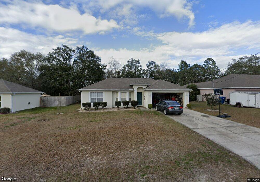
10351 Fordham St Spring Hill, FL 34608
Estimated Value: $288,627 - $329,000
4
Beds
2
Baths
1,748
Sq Ft
$178/Sq Ft
Est. Value
About This Home
This home is located at 10351 Fordham St, Spring Hill, FL 34608 and is currently estimated at $310,657, approximately $177 per square foot. 10351 Fordham St is a home located in Hernando County with nearby schools including Explorer K-8, Frank W. Springstead High School, and Gulf Coast Elementary School.
Ownership History
Date
Name
Owned For
Owner Type
Purchase Details
Closed on
May 7, 2003
Sold by
Maronda Homes Inc Fl
Bought by
Deleon Roberto and Morales Deleon Gladys
Current Estimated Value
Home Financials for this Owner
Home Financials are based on the most recent Mortgage that was taken out on this home.
Original Mortgage
$80,000
Outstanding Balance
$33,862
Interest Rate
5.79%
Mortgage Type
Purchase Money Mortgage
Estimated Equity
$276,795
Purchase Details
Closed on
Sep 18, 2002
Sold by
Christou Bill and Christou Chrisoula
Bought by
Maronda Homes Inc Fl
Create a Home Valuation Report for This Property
The Home Valuation Report is an in-depth analysis detailing your home's value as well as a comparison with similar homes in the area
Home Values in the Area
Average Home Value in this Area
Purchase History
| Date | Buyer | Sale Price | Title Company |
|---|---|---|---|
| Deleon Roberto | $95,500 | -- | |
| Maronda Homes Inc Fl | $7,500 | -- |
Source: Public Records
Mortgage History
| Date | Status | Borrower | Loan Amount |
|---|---|---|---|
| Open | Deleon Roberto | $80,000 |
Source: Public Records
Tax History
| Year | Tax Paid | Tax Assessment Tax Assessment Total Assessment is a certain percentage of the fair market value that is determined by local assessors to be the total taxable value of land and additions on the property. | Land | Improvement |
|---|---|---|---|---|
| 2025 | $1,326 | $93,874 | -- | -- |
| 2024 | $1,369 | $91,228 | -- | -- |
| 2023 | $1,369 | $88,571 | $0 | $0 |
| 2022 | $1,275 | $85,991 | $0 | $0 |
| 2021 | $1,257 | $83,486 | $0 | $0 |
| 2020 | $1,167 | $82,333 | $0 | $0 |
| 2019 | $1,157 | $80,482 | $0 | $0 |
| 2018 | $604 | $78,981 | $0 | $0 |
| 2017 | $871 | $77,357 | $0 | $0 |
| 2016 | $839 | $75,766 | $0 | $0 |
| 2015 | $839 | $75,239 | $0 | $0 |
| 2014 | $823 | $74,642 | $0 | $0 |
Source: Public Records
Map
Nearby Homes
- 3300 Alcan Ave
- 0 Lamson Ave
- 10362 Lear St
- 3180 Wiltshire Ave
- 3209 Mariner Blvd
- 10358 Musa Rd
- 0 Jason Rd
- 11034 Auburndale St
- 12335 Linden Dr
- 3463 Jason Rd
- 3467 Everett Ave
- 10331 Dunkirk Rd
- 3377 Montano Ave
- 3066 Stephanie Dr
- 2583 Running Oak Ct
- 3050 Stephanie Dr
- 2571 Running Oak Ct
- 2492 Lackland Ave
- 2469 Anchor Ave
- 11194 Mercedes St
- 10359 Fordham St
- 10343 Fordham St
- 10335 Fordham St
- 10367 Fordham St
- 10352 Fordham St
- 10344 Fordham St
- 10360 Fordham St
- 10336 Fordham St
- 10375 Fordham St
- 10327 Fordham St
- 10368 Fordham St
- 10328 Fordham St
- 10343 Lansfield St
- 10335 Lansfield St
- 10319 Fordham St
- 10351 Lansfield St
- 10327 Lansfield St
- 10320 Fordham St
- 10387 Fordham St
- 10359 Lansfield St
Your Personal Tour Guide
Ask me questions while you tour the home.