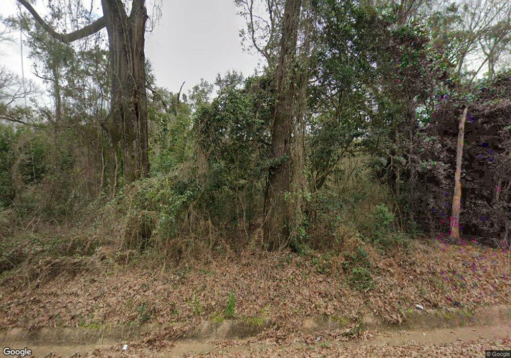
10351 Mcleod Rd Mobile, AL 36695
Dawes NeighborhoodEstimated Value: $290,129 - $369,000
3
Beds
1
Bath
2,514
Sq Ft
$133/Sq Ft
Est. Value
About This Home
This home is located at 10351 Mcleod Rd, Mobile, AL 36695 and is currently estimated at $335,532, approximately $133 per square foot. 10351 Mcleod Rd is a home located in Mobile County with nearby schools including Hutchens Elementary School, Dawes Intermediate School, and Bernice J Causey Middle School.
Ownership History
Date
Name
Owned For
Owner Type
Purchase Details
Closed on
Jul 12, 2013
Sold by
Monteiro Cherlina P
Bought by
West Property Management Llc
Current Estimated Value
Purchase Details
Closed on
Oct 29, 2002
Sold by
Monteiro Katherine W
Bought by
Monteiro Katherine W and Monteiro Cherlina P
Home Financials for this Owner
Home Financials are based on the most recent Mortgage that was taken out on this home.
Original Mortgage
$218,500
Interest Rate
6.01%
Mortgage Type
Purchase Money Mortgage
Create a Home Valuation Report for This Property
The Home Valuation Report is an in-depth analysis detailing your home's value as well as a comparison with similar homes in the area
Home Values in the Area
Average Home Value in this Area
Purchase History
| Date | Buyer | Sale Price | Title Company |
|---|---|---|---|
| West Property Management Llc | $190,000 | None Available | |
| Monteiro Katherine W | $328,000 | -- |
Source: Public Records
Mortgage History
| Date | Status | Borrower | Loan Amount |
|---|---|---|---|
| Previous Owner | Monteiro Katherine W | $218,500 |
Source: Public Records
Tax History
| Year | Tax Paid | Tax Assessment Tax Assessment Total Assessment is a certain percentage of the fair market value that is determined by local assessors to be the total taxable value of land and additions on the property. | Land | Improvement |
|---|---|---|---|---|
| 2025 | $1,787 | $34,380 | $25,720 | $8,660 |
| 2024 | $1,787 | $44,520 | $25,500 | $19,020 |
| 2023 | $1,885 | $38,860 | $21,140 | $17,720 |
| 2022 | $1,885 | $38,860 | $21,140 | $17,720 |
| 2021 | $2,247 | $46,320 | $28,980 | $17,340 |
| 2020 | $2,247 | $46,320 | $28,980 | $17,340 |
| 2019 | $2,166 | $22,330 | $14,490 | $7,840 |
| 2018 | $2,166 | $44,660 | $0 | $0 |
| 2017 | $2,166 | $44,660 | $0 | $0 |
| 2016 | $2,200 | $45,360 | $0 | $0 |
| 2013 | $1,067 | $21,700 | $0 | $0 |
Source: Public Records
Map
Nearby Homes
- 4331 Alden Cir E
- 4320 Alden Cir E
- 4236 Baird Coxwell Rd
- 4226 Baird Coxwell Rd
- 10699 Mcleod Rd
- 10709 Mcleod Rd
- 10723 Mcleod Rd
- 10735 Mcleod Rd
- 10745 Mcleod Rd
- 10757 Mcleod Rd
- 3740 Latigo Rd
- 9963 Summer Woods Cir S
- 10772 Middle Oak Dr
- 9534 Labrador Run N
- 9931 Summer Woods Cir N
- 9497 Labrador Run S
- 3560 Arlington Oaks Dr
- 9451 Sir Brutus Run
- 9700 Scott Dairy Loop Rd S
- 5181 Southern Oaks Trail
- 000 Alden Cir E
- 0-00 Alden Cir E
- 00 Alden Cir E
- 10251 Mcleod Rd
- 10241 Mcleod Rd
- 10225 Mcleod Rd
- 10201 Mcleod Rd
- 10165 Mcleod Rd
- 10165 Mcleod Rd
- 4314 McCovery Road Extension
- 10501 Mcleod Rd
- 4316 McCovery Road Extension
- 4338 McCovery Road Extension
- 4261 McCovery Road Extension
- 10101 Mcleod Rd
- 10551 Mcleod Rd
- 4368 McCovery Road Extension
- 0 McCovery Road Extension Unit 7228345
- 0 McCovery Road Extension Unit 7222832
- 0 McCovery Road Extension Unit 346647
Your Personal Tour Guide
Ask me questions while you tour the home.
