10352 W 2100 S La Crosse, IN 46348
Estimated Value: $228,000 - $4,005,000
3
Beds
1
Bath
1,992
Sq Ft
$1,087/Sq Ft
Est. Value
About This Home
This home is located at 10352 W 2100 S, La Crosse, IN 46348 and is currently estimated at $2,165,501, approximately $1,087 per square foot. 10352 W 2100 S is a home located in LaPorte County.
Ownership History
Date
Name
Owned For
Owner Type
Purchase Details
Closed on
Oct 28, 2021
Sold by
Krueger Family Investments Llc
Bought by
Crg & Pag Land Co Llc
Current Estimated Value
Home Financials for this Owner
Home Financials are based on the most recent Mortgage that was taken out on this home.
Original Mortgage
$2,300,000
Outstanding Balance
$2,108,138
Interest Rate
3.01%
Mortgage Type
Commercial
Estimated Equity
$57,363
Purchase Details
Closed on
Dec 18, 2014
Sold by
Krueger Betty L
Bought by
Krueger Betty L and Krueger Family Investments Llc
Create a Home Valuation Report for This Property
The Home Valuation Report is an in-depth analysis detailing your home's value as well as a comparison with similar homes in the area
Home Values in the Area
Average Home Value in this Area
Purchase History
| Date | Buyer | Sale Price | Title Company |
|---|---|---|---|
| Crg & Pag Land Co Llc | -- | None Available | |
| Krueger Betty L | -- | None Available |
Source: Public Records
Mortgage History
| Date | Status | Borrower | Loan Amount |
|---|---|---|---|
| Open | Crg & Pag Land Co Llc | $2,300,000 |
Source: Public Records
Tax History Compared to Growth
Tax History
| Year | Tax Paid | Tax Assessment Tax Assessment Total Assessment is a certain percentage of the fair market value that is determined by local assessors to be the total taxable value of land and additions on the property. | Land | Improvement |
|---|---|---|---|---|
| 2024 | $10,362 | $755,200 | $614,300 | $140,900 |
| 2022 | $8,295 | $556,800 | $412,800 | $144,000 |
| 2021 | $7,669 | $487,800 | $353,800 | $134,000 |
| 2020 | $7,152 | $487,800 | $353,800 | $134,000 |
| 2019 | $8,285 | $565,900 | $422,600 | $143,300 |
| 2018 | $8,147 | $571,400 | $435,400 | $136,000 |
| 2017 | $8,889 | $632,700 | $496,600 | $136,100 |
| 2016 | $8,978 | $660,800 | $524,500 | $136,300 |
| 2014 | $8,709 | $661,100 | $547,600 | $113,500 |
Source: Public Records
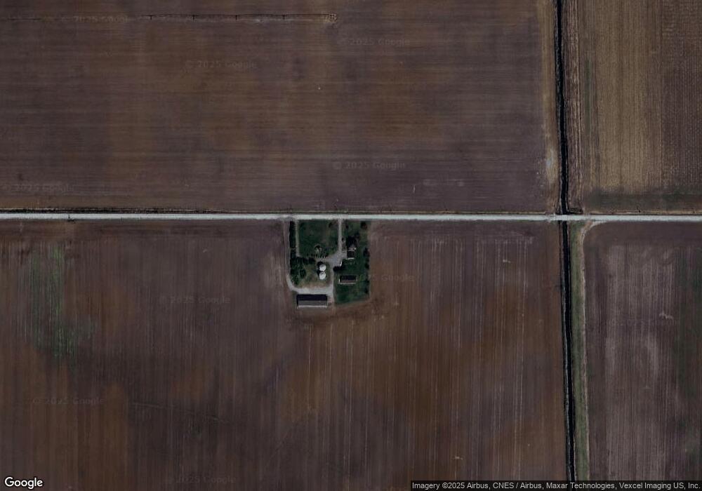
Map
Nearby Homes
- 308 Mill St
- 802 W Main St
- 202 Genesse St
- 201 E Oneida St
- 601 E Main St
- 9052 W Saint Road 8
- 7555 S U S 421
- 6948 W 1700 S
- 548 E 1400 S
- 544 E 1400 S
- 0-B1-3 State Road 8
- 0-Lot B6-7 State Road 8
- 0-Lot B4-5 St Road 8
- 411 E Ross Ave
- 81 E 1050 S
- 407 Mckinley St
- 304 N Church St
- 0 Vanessa Way Unit GNR544729
- 0 Sharyn St Unit GNR544737
- 0 Sharyn St Unit GNR544741