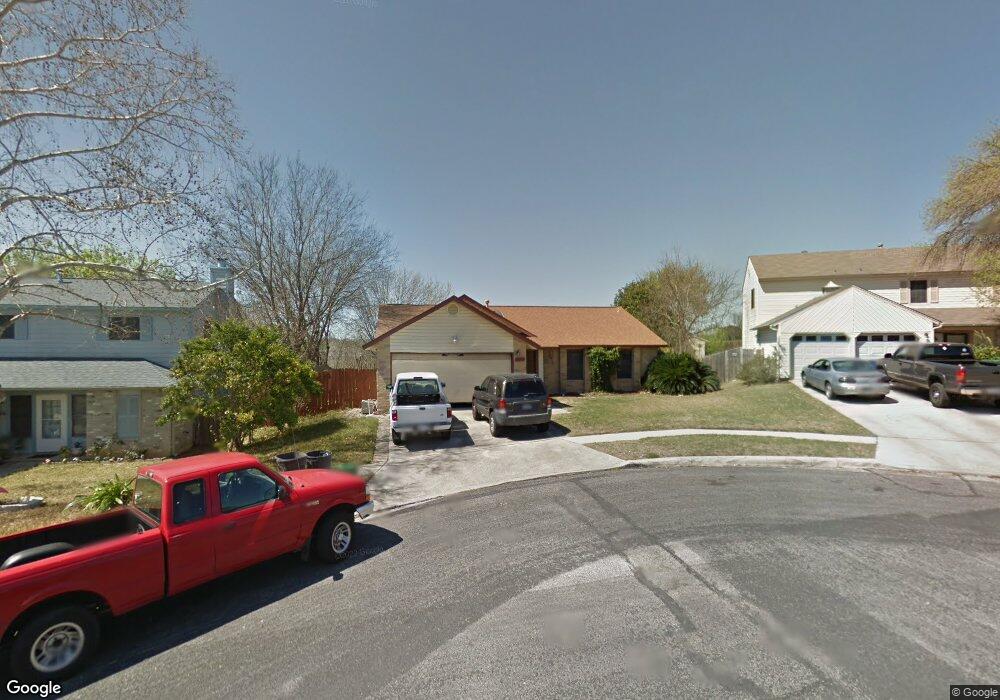
10353 Flatland Trail Converse, TX 78109
Estimated Value: $220,000 - $263,000
3
Beds
2
Baths
1,557
Sq Ft
$157/Sq Ft
Est. Value
About This Home
This home is located at 10353 Flatland Trail, Converse, TX 78109 and is currently estimated at $244,876, approximately $157 per square foot. 10353 Flatland Trail is a home located in Bexar County with nearby schools including Crestview Elementary School, Kitty Hawk Middle School, and Veterans Memorial High School.
Ownership History
Date
Name
Owned For
Owner Type
Purchase Details
Closed on
Mar 15, 2000
Sold by
Hud
Bought by
Daniel Robert D and Daniel Irma D
Current Estimated Value
Home Financials for this Owner
Home Financials are based on the most recent Mortgage that was taken out on this home.
Original Mortgage
$82,924
Outstanding Balance
$26,245
Interest Rate
8.23%
Mortgage Type
FHA
Estimated Equity
$218,631
Create a Home Valuation Report for This Property
The Home Valuation Report is an in-depth analysis detailing your home's value as well as a comparison with similar homes in the area
Home Values in the Area
Average Home Value in this Area
Purchase History
| Date | Buyer | Sale Price | Title Company |
|---|---|---|---|
| Daniel Robert D | $83,189 | -- |
Source: Public Records
Mortgage History
| Date | Status | Borrower | Loan Amount |
|---|---|---|---|
| Open | Daniel Robert D | $82,924 |
Source: Public Records
Tax History
| Year | Tax Paid | Tax Assessment Tax Assessment Total Assessment is a certain percentage of the fair market value that is determined by local assessors to be the total taxable value of land and additions on the property. | Land | Improvement |
|---|---|---|---|---|
| 2025 | $3,801 | $254,250 | $82,280 | $171,970 |
| 2024 | $3,801 | $233,591 | $82,280 | $171,970 |
| 2023 | $3,801 | $212,355 | $82,280 | $186,200 |
| 2022 | $4,605 | $193,050 | $59,970 | $174,550 |
| 2021 | $4,033 | $175,500 | $48,720 | $126,780 |
| 2020 | $4,450 | $171,435 | $42,250 | $129,560 |
| 2019 | $4,161 | $155,850 | $28,300 | $127,550 |
| 2018 | $3,910 | $146,190 | $28,300 | $117,890 |
| 2017 | $3,702 | $135,880 | $28,300 | $107,580 |
| 2016 | $3,575 | $131,225 | $28,300 | $106,340 |
| 2015 | $2,757 | $119,295 | $28,300 | $97,300 |
| 2014 | $2,757 | $108,450 | $0 | $0 |
Source: Public Records
Map
Nearby Homes
- 10310 Mission Creek
- 10303 Windburn Trail
- 10223 Flatland Trail
- 10127 Margarita Hill
- 10123 Windburn Trail
- 10431 Mustang Ridge
- 10415 Mustang Ridge
- 7522 Sutters Mine
- 10518 Mustang Ridge
- 10315 Mustang Ridge
- 8242 Pioneer Oak
- 7710 Fallen Pine
- 10309 Little Sugar Creek
- 9835 Spruce Ridge Dr
- 10423 Rock Cove Ln
- 7422 Redman Pass
- 8238 Comanche Pass
- 10321 Little Sugar Creek
- 312 Toepperwein Rd
- 9743 Cylburn Park
- 10349 Flatland Trail
- 10357 Flatland Trail
- 10345 Flatland Trail
- 7911 Deadwood Ridge
- 10348 Flatland Trail
- 7915 Deadwood Ridge
- 10341 Flatland Trail
- 10344 Flatland Trail
- 7910 Rifle Rock
- 7919 Deadwood Ridge
- 7914 Rifle Rock
- 10340 Flatland Trail
- 10337 Flatland Trail
- 10339 Windburn Trail
- 10335 Windburn Trail
- 10336 Flatland Trail
- 7918 Rifle Rock
- 7923 Deadwood Ridge
- 10333 Flatland Trail
- 10331 Windburn Trail
Your Personal Tour Guide
Ask me questions while you tour the home.