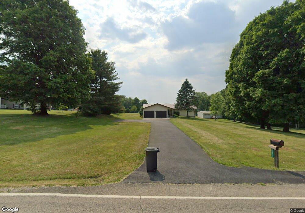
10355 Zion Rd Thornville, OH 43076
Estimated Value: $326,000 - $420,087
3
Beds
2
Baths
2,264
Sq Ft
$161/Sq Ft
Est. Value
About This Home
This home is located at 10355 Zion Rd, Thornville, OH 43076 and is currently estimated at $365,272, approximately $161 per square foot. 10355 Zion Rd is a home located in Perry County with nearby schools including Sheridan High School.
Ownership History
Date
Name
Owned For
Owner Type
Purchase Details
Closed on
Mar 31, 2025
Sold by
Lauretta Randolph Trust
Bought by
Moore Ashley
Current Estimated Value
Home Financials for this Owner
Home Financials are based on the most recent Mortgage that was taken out on this home.
Original Mortgage
$268,000
Outstanding Balance
$266,836
Interest Rate
6.76%
Mortgage Type
New Conventional
Estimated Equity
$98,437
Purchase Details
Closed on
Oct 8, 2024
Sold by
Norris Luanetta Kay and Norris Launetta K
Bought by
Lauretta Randolph Trust and Moore
Purchase Details
Closed on
Aug 29, 2012
Sold by
Randolph Lauretta M and Randolph Perry C
Bought by
Norris Launnetta Kay and Moore Larindia Jean
Purchase Details
Closed on
Jun 10, 2011
Sold by
Randolph Lauretta M and Randolph Perry C
Bought by
Randolph Lauretta M and Randolph Perry C
Create a Home Valuation Report for This Property
The Home Valuation Report is an in-depth analysis detailing your home's value as well as a comparison with similar homes in the area
Home Values in the Area
Average Home Value in this Area
Purchase History
| Date | Buyer | Sale Price | Title Company |
|---|---|---|---|
| Moore Ashley | $335,000 | Chicago Title | |
| Moore Ashley | $335,000 | Chicago Title | |
| Randolph Lauretta M | -- | None Listed On Document | |
| Randolph Lauretta M | -- | None Listed On Document | |
| Lauretta Randolph Trust | -- | None Listed On Document | |
| Norris Launnetta Kay | -- | None Available | |
| Randolph Lauretta M | -- | None Available |
Source: Public Records
Mortgage History
| Date | Status | Borrower | Loan Amount |
|---|---|---|---|
| Open | Moore Ashley | $268,000 | |
| Closed | Moore Ashley | $268,000 |
Source: Public Records
Tax History Compared to Growth
Tax History
| Year | Tax Paid | Tax Assessment Tax Assessment Total Assessment is a certain percentage of the fair market value that is determined by local assessors to be the total taxable value of land and additions on the property. | Land | Improvement |
|---|---|---|---|---|
| 2024 | $4,376 | $124,070 | $17,730 | $106,340 |
| 2023 | $4,376 | $124,070 | $17,730 | $106,340 |
| 2022 | $3,543 | $81,850 | $11,310 | $70,540 |
| 2021 | $3,365 | $85,510 | $11,310 | $74,200 |
| 2020 | $3,363 | $85,510 | $11,310 | $74,200 |
| 2019 | $2,738 | $70,950 | $9,920 | $61,030 |
| 2018 | $2,785 | $70,950 | $9,920 | $61,030 |
| 2017 | $2,443 | $70,950 | $9,920 | $61,030 |
| 2016 | $2,234 | $63,570 | $11,030 | $52,540 |
| 2015 | $2,226 | $63,570 | $11,030 | $52,540 |
| 2014 | $2,474 | $63,570 | $11,030 | $52,540 |
| 2013 | $1,086 | $63,570 | $11,030 | $52,540 |
| 2012 | -- | $63,570 | $11,030 | $52,540 |
Source: Public Records
Map
Nearby Homes
- 6662 Township Road 98
- 9521 Township Road 37
- 0 Sheridan Dr Rd NW
- 4486 Cooperriders Rd NW
- 9621 State Route 13
- 5475 Rush Creek Rd NW
- VL Township Road 64
- 108 N Main St
- 8151 Township Road 68 NW
- 212 N Market St
- 0 County Rd Unit 2
- 0 Thornville Rd NE Unit TRACT 7
- 0 Thornville Rd NE Unit TRACT 17 225035794
- 0 Thornville Rd NE Unit TRACT 16 225035791
- 0 Thornville Rd NE Unit TRACT 15 225035789
- 101 Shady Ln
- 2128 County Road 51
- 3783 U S 22
- 105 S Columbus St
- 300 E Main St
- 10325 Zion Rd
- 10378 Zion Rd
- 10375 Zion Rd
- 10310 Zion Rd
- 10446 Zion Rd
- 10446 Zion Rd
- 10257 Zion Rd
- 10481 Zion Rd
- 10310 Zion Rd NW
- 5085 Township Road 98
- 5930 Township Road 98
- 6112 Township Road 98
- 10231 Zion Rd
- 5265 Township Road 98
- 5235 Township Road 98
- 5195 Township Road 98
- 5155 Township Road 98
- 5125 Township Road 98
- 10520 Township Road 25
- 10540 Zion Rd