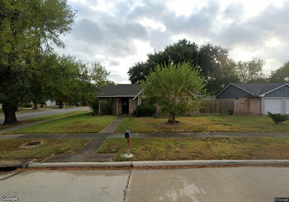
10358 Misty River Dr Houston, TX 77086
North Houston NeighborhoodEstimated Value: $199,000 - $222,000
3
Beds
2
Baths
1,294
Sq Ft
$160/Sq Ft
Est. Value
About This Home
This home is located at 10358 Misty River Dr, Houston, TX 77086 and is currently estimated at $206,782, approximately $159 per square foot. 10358 Misty River Dr is a home located in Harris County with nearby schools including Kujawa EC/Pre-K/K School, Carmichael Elementary School, and Shotwell Middle School.
Ownership History
Date
Name
Owned For
Owner Type
Purchase Details
Closed on
Aug 5, 1996
Sold by
Petrick Samantha Ellena
Bought by
Williams Richard D
Current Estimated Value
Home Financials for this Owner
Home Financials are based on the most recent Mortgage that was taken out on this home.
Original Mortgage
$47,150
Outstanding Balance
$3,100
Interest Rate
8.32%
Estimated Equity
$203,682
Create a Home Valuation Report for This Property
The Home Valuation Report is an in-depth analysis detailing your home's value as well as a comparison with similar homes in the area
Home Values in the Area
Average Home Value in this Area
Purchase History
| Date | Buyer | Sale Price | Title Company |
|---|---|---|---|
| Williams Richard D | -- | Stewart Title |
Source: Public Records
Mortgage History
| Date | Status | Borrower | Loan Amount |
|---|---|---|---|
| Open | Williams Richard D | $47,150 |
Source: Public Records
Tax History Compared to Growth
Tax History
| Year | Tax Paid | Tax Assessment Tax Assessment Total Assessment is a certain percentage of the fair market value that is determined by local assessors to be the total taxable value of land and additions on the property. | Land | Improvement |
|---|---|---|---|---|
| 2025 | $820 | $193,873 | $39,914 | $153,959 |
| 2024 | $820 | $193,873 | $39,914 | $153,959 |
| 2023 | $820 | $200,099 | $39,914 | $160,185 |
| 2022 | $3,597 | $169,377 | $33,825 | $135,552 |
| 2021 | $3,262 | $141,088 | $33,825 | $107,263 |
| 2020 | $3,297 | $134,268 | $33,825 | $100,443 |
| 2019 | $3,116 | $127,563 | $17,236 | $110,327 |
| 2018 | $47 | $121,276 | $17,236 | $104,040 |
| 2017 | $2,483 | $112,295 | $15,477 | $96,818 |
| 2016 | $2,257 | $103,132 | $15,477 | $87,655 |
| 2015 | $500 | $97,715 | $15,477 | $82,238 |
| 2014 | $500 | $75,679 | $15,477 | $60,202 |
Source: Public Records
Map
Nearby Homes
- 6722 Winding Trace Dr
- 6911 Silver Star Dr
- 6615 Winding Trace Dr
- 10306 Jillana Kaye Dr
- 6822 Dusty Dawn Dr
- 6502 Trail Valley Way
- 10522 Northview Dr
- 6654 Brownie Campbell Rd
- 7002 Sandswept Ln
- 6630 Brownie Campbell Rd
- 6606 Dusty Dawn Dr
- 7023 Sandswept Ln
- 6703 Deer Ridge Ln
- 6830 Desert Rose Ln
- 10214 Trade Winds Dr
- 6610 Northleaf Dr
- 10307 Bammel North Houston Rd
- 11006 Crinkleawn Dr
- 11009 Panicum Ct
- 11007 Tobasa Ct
- 10354 Misty River Dr
- 10335 Mountain Park Dr
- 10331 Mountain Park Dr
- 10350 Misty River Dr
- 6714 Trail Valley Way
- 6710 Trail Valley Way
- 10359 Misty River Dr
- 10355 Misty River Dr
- 6706 Trail Valley Way
- 10346 Misty River Dr
- 6722 Trail Valley Way
- 10351 Misty River Dr
- 10327 Mountain Park Dr
- 10323 Mountain Park Dr
- 6702 Trail Valley Way
- 10342 Misty River Dr
- 6726 Trail Valley Way
- 10347 Misty River Dr
- 6647 Sandswept Ln
- 6643 Sandswept Ln