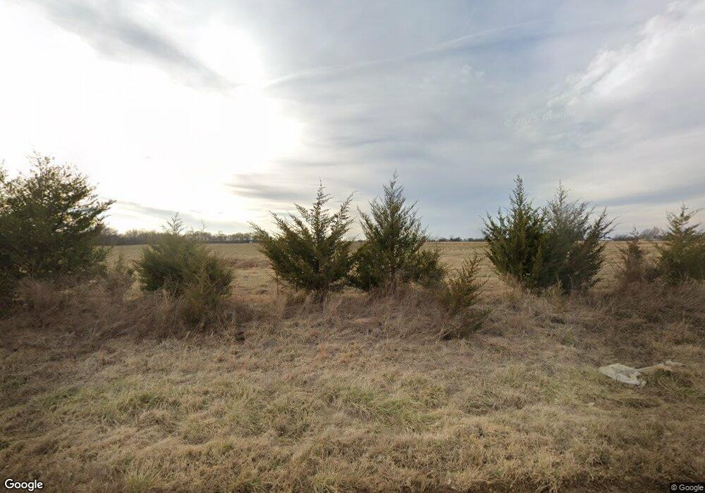
103592 S 4210 Rd Checotah, OK 74426
Estimated Value: $217,745 - $288,000
3
Beds
2
Baths
1,568
Sq Ft
$158/Sq Ft
Est. Value
About This Home
This home is located at 103592 S 4210 Rd, Checotah, OK 74426 and is currently estimated at $247,686, approximately $157 per square foot. 103592 S 4210 Rd is a home located in McIntosh County with nearby schools including Marshall Elementary School, Checotah Intermediate Elementary School, and Checotah Middle School.
Ownership History
Date
Name
Owned For
Owner Type
Purchase Details
Closed on
Apr 20, 2020
Sold by
Gartrell John R and Gartrell Susie Crow
Bought by
Gartrell Susie Crow and Crow Randy Garrett
Current Estimated Value
Purchase Details
Closed on
Dec 28, 2018
Sold by
Mainus John D and Mainus Twana J
Bought by
Crow Gartrell John R and Crow Gartrell Susie
Purchase Details
Closed on
Feb 1, 2008
Sold by
Lewelling Billy E
Bought by
Mainus John D and Mainus Twana J
Home Financials for this Owner
Home Financials are based on the most recent Mortgage that was taken out on this home.
Original Mortgage
$112,500
Interest Rate
6.15%
Mortgage Type
New Conventional
Create a Home Valuation Report for This Property
The Home Valuation Report is an in-depth analysis detailing your home's value as well as a comparison with similar homes in the area
Home Values in the Area
Average Home Value in this Area
Purchase History
| Date | Buyer | Sale Price | Title Company |
|---|---|---|---|
| Gartrell Susie Crow | -- | None Available | |
| Crow Gartrell John R | $165,000 | Muskogee Abstract & Title Co | |
| Mainus John D | $125,000 | None Available |
Source: Public Records
Mortgage History
| Date | Status | Borrower | Loan Amount |
|---|---|---|---|
| Previous Owner | Mainus John D | $112,500 |
Source: Public Records
Tax History Compared to Growth
Tax History
| Year | Tax Paid | Tax Assessment Tax Assessment Total Assessment is a certain percentage of the fair market value that is determined by local assessors to be the total taxable value of land and additions on the property. | Land | Improvement |
|---|---|---|---|---|
| 2025 | $759 | $10,911 | $1,003 | $9,908 |
| 2024 | $759 | $9,807 | $1,003 | $8,804 |
| 2023 | $759 | $10,016 | $985 | $9,031 |
| 2022 | $751 | $9,724 | $975 | $8,749 |
| 2021 | $706 | $9,441 | $1,003 | $8,438 |
| 2020 | $908 | $9,441 | $1,003 | $8,438 |
| 2019 | $901 | $9,441 | $1,003 | $8,438 |
| 2018 | $930 | $9,441 | $1,003 | $8,438 |
| 2017 | $949 | $10,076 | $1,003 | $9,073 |
| 2016 | $965 | $10,013 | $1,003 | $9,010 |
| 2015 | $938 | $9,722 | $1,003 | $8,719 |
| 2014 | $970 | $10,075 | $1,003 | $9,072 |
Source: Public Records
Map
Nearby Homes
- 422773 A St
- 0 County Rd Unit 2525151
- 424398 Texanna Rd
- 825 NW 8th St
- 309 E North Ave
- 737 NW 4th St
- 705 NW 8th St
- 613 N Wineblood St
- 605 N Wineblood St
- 602 NW 1st St
- 513 N Wineblood St
- 112580 New Texanna Rd
- 0 S 4202 Rd Unit 2518287
- 410 SW 3rd St
- 220 E Audd Ave
- 504 SW 1st St
- 310 E Audd Ave
- 514 SE Main St
- 0 Paul Carr Dr Unit 2524865
- 1045 W Mcintosh Ave
- 421019 E 1040
- 103282 S 4210 Rd
- 420936 E 1040 Rd
- 420888 E 1040 Rd
- 0 1040 Rd Unit 2234744
- 0 1040 Rd Unit 2037858
- 0 1040 Rd Unit 2109130
- 0 1040 Rd Unit 2133914
- 0 1040 Rd Unit 2133918
- 0 1040 Rd Unit 2133920
- 0 1040 Rd Unit 2133921
- 0 1040 Rd Unit 2133925
- 0 1040 Rd Unit 2133926
- 0 1040 Rd Unit 2133929
- 0 1040 Rd Unit 2133931
- 0 1040 Rd Unit 2209524
- 0 1040 Rd Unit 2209522
- 0 1040 Rd Unit 2209521
- 0 1040 Rd Unit 2209519
- 0 1040 Rd Unit 2209517
