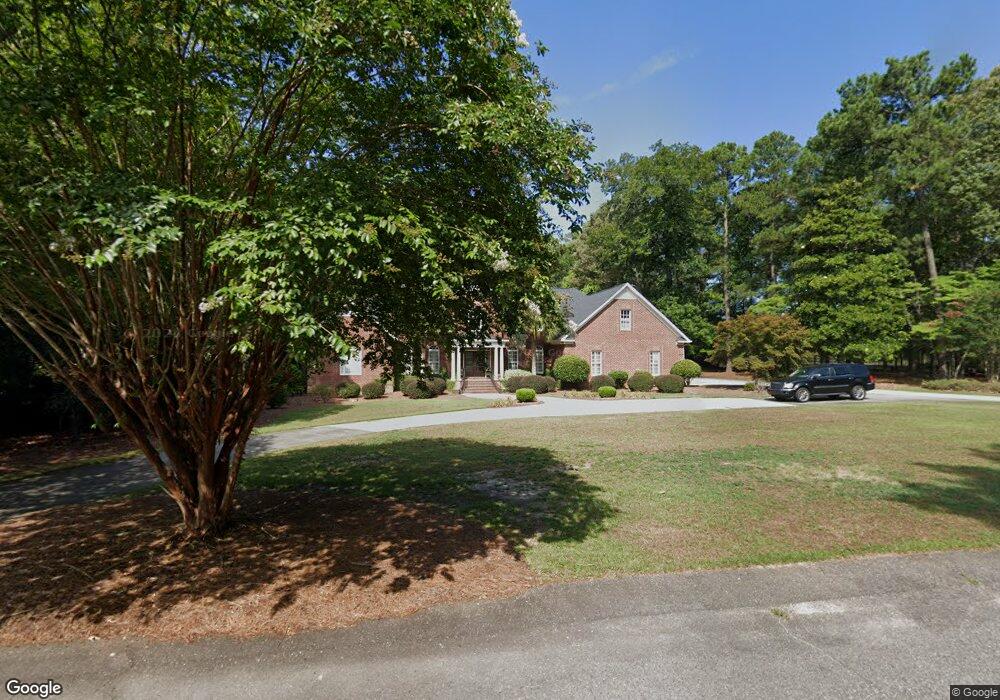
1036 Bentwood Rd Hartsville, SC 29550
Estimated Value: $477,000 - $740,000
--
Bed
--
Bath
4,000
Sq Ft
$153/Sq Ft
Est. Value
About This Home
This home is located at 1036 Bentwood Rd, Hartsville, SC 29550 and is currently estimated at $613,681, approximately $153 per square foot. 1036 Bentwood Rd is a home located in Darlington County with nearby schools including Carolina Elementary School, Hartsville Middle School, and Hartsville High School.
Ownership History
Date
Name
Owned For
Owner Type
Purchase Details
Closed on
Aug 13, 2012
Sold by
Turner Ricky J and Turner Denise N
Bought by
Gainey Thomas D and Gainey Erin J
Current Estimated Value
Home Financials for this Owner
Home Financials are based on the most recent Mortgage that was taken out on this home.
Original Mortgage
$417,000
Outstanding Balance
$287,243
Interest Rate
3.55%
Mortgage Type
New Conventional
Estimated Equity
$326,438
Create a Home Valuation Report for This Property
The Home Valuation Report is an in-depth analysis detailing your home's value as well as a comparison with similar homes in the area
Home Values in the Area
Average Home Value in this Area
Purchase History
| Date | Buyer | Sale Price | Title Company |
|---|---|---|---|
| Gainey Thomas D | $575,000 | -- |
Source: Public Records
Mortgage History
| Date | Status | Borrower | Loan Amount |
|---|---|---|---|
| Open | Gainey Thomas D | $417,000 |
Source: Public Records
Tax History Compared to Growth
Tax History
| Year | Tax Paid | Tax Assessment Tax Assessment Total Assessment is a certain percentage of the fair market value that is determined by local assessors to be the total taxable value of land and additions on the property. | Land | Improvement |
|---|---|---|---|---|
| 2024 | $4,811 | $25,560 | $1,800 | $23,760 |
| 2023 | $5,850 | $23,400 | $1,800 | $21,600 |
| 2022 | $5,850 | $23,400 | $1,800 | $21,600 |
| 2021 | $5,850 | $23,400 | $1,800 | $21,600 |
| 2020 | $4,493 | $23,400 | $1,800 | $21,600 |
| 2019 | $4,588 | $23,400 | $1,800 | $21,600 |
| 2018 | $4,371 | $21,800 | $1,800 | $20,000 |
| 2017 | $4,033 | $21,800 | $1,800 | $20,000 |
| 2016 | $3,843 | $21,800 | $1,800 | $20,000 |
| 2014 | $4,274 | $21,800 | $1,800 | $20,000 |
| 2013 | $1,697 | $32,700 | $2,700 | $30,000 |
Source: Public Records
Map
Nearby Homes
- TBD Washington and 14th St
- 1013 Miller Terrace
- 1319 14th St
- 925 Bayberry Cir
- 1029 Edgewood Dr
- 0 Medical Park Dr Unit 20253810
- 916 Power St
- 0 W Bobo Newsom Hwy
- 0 W Bobo Newsome Hwy
- 632 E Bobo Newsom Hwy
- 1408 Ballentine Ave
- 318 14th St
- 1004 Lee Cir
- TBD Shaw Dr
- TBD Larkfield Dr
- 210 14th St
- 529 Plainview Dr
- TBD Wingate Dr
- Lot 32 & 34 Willis Dr
- 200 W Washington St
- 1032 Bentwood Rd
- 1027 Bentwood Rd
- 1041 Bentwood Rd
- 1026 Bentwood Rd
- 1013 Bentwood Rd
- 1014 Bentwood Rd
- 1012 David Dr
- 1008 14th St
- 1006 Bentwood Rd
- 1005 Bentwood Rd
- 1006 14th St
- 1081 Century Tower Rd
- 1112 14th St
- 1002 14th St
- 1017 Miller Terrace
- 1700 block 14th St
- TBD Miller Terrace
- 1020 Miller Terrace
- 1005 Miller Terrace
- 1012 Miller Terrace