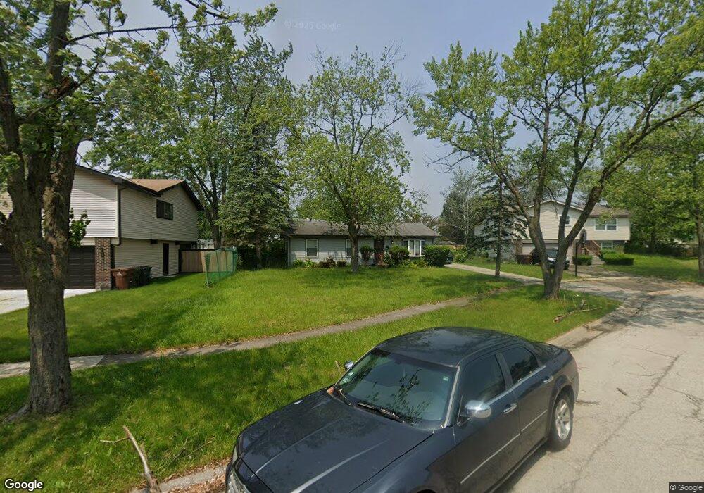
1036 Bradfield Ct University Park, IL 60484
Estimated Value: $133,143 - $224,000
--
Bed
--
Bath
1,108
Sq Ft
$174/Sq Ft
Est. Value
About This Home
This home is located at 1036 Bradfield Ct, University Park, IL 60484 and is currently estimated at $192,536, approximately $173 per square foot. 1036 Bradfield Ct is a home located in Will County with nearby schools including Balmoral Elementary School, Crete-Monee Middle School, and Crete-Monee High School.
Ownership History
Date
Name
Owned For
Owner Type
Purchase Details
Closed on
Dec 23, 2014
Sold by
Simpson William L
Bought by
Simpson Tanya L and Simpson Kiarrah A
Current Estimated Value
Purchase Details
Closed on
Feb 10, 2014
Sold by
Simpson William L and Estate Of Beverly J Simpson
Bought by
Simpson William L
Purchase Details
Closed on
May 12, 2011
Sold by
Simpson William L
Bought by
Simpson Beverly J
Create a Home Valuation Report for This Property
The Home Valuation Report is an in-depth analysis detailing your home's value as well as a comparison with similar homes in the area
Home Values in the Area
Average Home Value in this Area
Purchase History
| Date | Buyer | Sale Price | Title Company |
|---|---|---|---|
| Simpson Tanya L | -- | None Available | |
| Simpson William L | -- | None Available | |
| Simpson Beverly J | -- | None Available |
Source: Public Records
Tax History Compared to Growth
Tax History
| Year | Tax Paid | Tax Assessment Tax Assessment Total Assessment is a certain percentage of the fair market value that is determined by local assessors to be the total taxable value of land and additions on the property. | Land | Improvement |
|---|---|---|---|---|
| 2024 | $4,392 | $42,989 | $8,402 | $34,587 |
| 2023 | $4,392 | $37,059 | $7,243 | $29,816 |
| 2022 | $4,011 | $32,599 | $6,371 | $26,228 |
| 2021 | $3,496 | $29,702 | $5,852 | $23,850 |
| 2020 | $3,437 | $28,739 | $5,662 | $23,077 |
| 2019 | $3,446 | $27,253 | $5,369 | $21,884 |
| 2018 | $3,346 | $26,224 | $5,255 | $20,969 |
| 2017 | $3,226 | $25,068 | $5,138 | $19,930 |
| 2016 | $3,010 | $23,764 | $4,941 | $18,823 |
| 2015 | $2,532 | $21,691 | $4,503 | $17,188 |
| 2014 | $2,532 | $21,392 | $4,441 | $16,951 |
| 2013 | $2,532 | $22,400 | $4,650 | $17,750 |
Source: Public Records
Map
Nearby Homes
- 1031 Blackhawk Dr
- 1109 Abbot Ln
- 1116 Amherst Ln
- 740 Mission St
- 754 Mission Dr
- 1001 Blackhawk Dr
- 1043 Ashridge Ln
- 618 Old Forge Ln
- 607 Sullivan Ln
- 1061 Amherst Ln
- 1032 Samson Dr
- 608 Sullivan Ln
- 903 Blackhawk Dr
- 524 Regent Rd
- 662 Sullivan Ln
- 815 Blackhawk Dr
- 469 Fairway Ln
- 807 Blackhawk Dr
- 453 Fairway Ct
- 882 White Oak Ln Unit 3
- 1034 Bradfield Ct
- 1037 Barrow Ct
- 1040 Bradfield Ct
- 1033 Bradfield Ct
- 1035 Barrow Ct
- 1041 Barrow Ct
- 1041 Bradfield Ct
- 1039 Bradfield Ct
- 1042 Bradfield Ct
- 1035 Bradfield Ct
- 1037 Bradfield Ct
- 1043 Bradfield Ct
- 1033 Barrow Ct
- 1043 Barrow Ct
- 1116 Abbott Ln
- 1120 Abbott Ln
- 1034 Barrow Ct
- 1036 Brockhurst Ct
- 1124 Abbott Ln
- 1040 Brockhurst Ct