Estimated Value: $252,000 - $493,000
5
Beds
4
Baths
1,568
Sq Ft
$241/Sq Ft
Est. Value
About This Home
This home is located at 1036 Bronx Corner Rd, Ray, OH 45672 and is currently estimated at $378,670, approximately $241 per square foot. 1036 Bronx Corner Rd is a home located in Jackson County with nearby schools including Jackson High School.
Ownership History
Date
Name
Owned For
Owner Type
Purchase Details
Closed on
Apr 2, 2019
Sold by
Evans John Steven and Evans Melissa Elizabeth
Bought by
Harrington Paul I and Harrington Jennifer L
Current Estimated Value
Home Financials for this Owner
Home Financials are based on the most recent Mortgage that was taken out on this home.
Original Mortgage
$182,450
Outstanding Balance
$158,754
Interest Rate
4.3%
Mortgage Type
Future Advance Clause Open End Mortgage
Estimated Equity
$219,916
Purchase Details
Closed on
Apr 24, 2002
Sold by
Barbee Mack and Barbee Joyce
Bought by
Evan John S and Evan Melissa E
Create a Home Valuation Report for This Property
The Home Valuation Report is an in-depth analysis detailing your home's value as well as a comparison with similar homes in the area
Purchase History
| Date | Buyer | Sale Price | Title Company |
|---|---|---|---|
| Harrington Paul I | $205,000 | None Available | |
| Evan John S | $8,000 | -- |
Source: Public Records
Mortgage History
| Date | Status | Borrower | Loan Amount |
|---|---|---|---|
| Open | Harrington Paul I | $182,450 |
Source: Public Records
Tax History
| Year | Tax Paid | Tax Assessment Tax Assessment Total Assessment is a certain percentage of the fair market value that is determined by local assessors to be the total taxable value of land and additions on the property. | Land | Improvement |
|---|---|---|---|---|
| 2024 | $3,031 | $88,620 | $6,360 | $82,260 |
| 2023 | $3,088 | $88,620 | $6,360 | $82,260 |
| 2022 | $3,402 | $71,620 | $4,720 | $66,900 |
| 2021 | $2,670 | $71,620 | $4,720 | $66,900 |
| 2020 | $2,686 | $71,620 | $4,720 | $66,900 |
| 2019 | $2,516 | $64,520 | $4,250 | $60,270 |
| 2018 | $2,421 | $64,520 | $4,250 | $60,270 |
| 2017 | $2,316 | $64,520 | $4,250 | $60,270 |
| 2016 | $2,147 | $59,270 | $4,190 | $55,080 |
| 2015 | $2,161 | $59,270 | $4,190 | $55,080 |
| 2013 | $2,160 | $59,500 | $4,130 | $55,370 |
| 2012 | $2,193 | $59,500 | $4,130 | $55,370 |
Source: Public Records
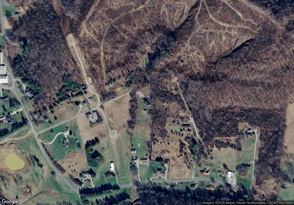
Map
Nearby Homes
- 130 Elam Rd
- 1793 Bronx Corner Rd
- 485 Springer Rd
- 587 John W Barbee Rd
- 0 U S 35
- 3110 Borland Rd
- 34576 U S 35
- 1011 Lee Hollow Rd
- 3988 W St Rt 35
- 3732 Borland Rd
- 0 Raysville Rd
- 379 Mutton Run Rd
- 242 Sour Run Rd
- 19338 Ohio 327
- 55130 Hutt Rd
- 0 Hutt Rd
- 920 Hanna Ln
- 1781 Big Rock Rd
- 32120 Fout Rd
- 56400 Doles Rd
- 1042 Bronx Corner Rd
- 778 Bronx Corner Rd
- 782 Bronx Corner Rd
- 742 Bronx Corner Rd
- 1044 Bronx Corner Rd
- 824 Bronx Corner Rd
- 1032 Bronx Corner Rd
- 646 Bronx Corner Rd
- 711 Bronx Corner Rd
- 1096 Bronx Corner Rd
- 645 Bronx Corner Rd
- 35 Bronx Corner Rd
- 1134 Bronx Corner Rd
- 1134 Bronx Corner Rd
- 1134 Bronx Corner Rd
- 607 Bronx Corner Rd
- 1210 Bronx Corner Rd
- 1109 Bronx Corner Rd
- 288 Elam Rd
- 87 Trippieville Rd
Your Personal Tour Guide
Ask me questions while you tour the home.