1036 Head of River Rd Chesapeake, VA 23322
Pleasant Grove East NeighborhoodEstimated Value: $838,425
4
Beds
3
Baths
3,057
Sq Ft
$274/Sq Ft
Est. Value
About This Home
This home is located at 1036 Head of River Rd, Chesapeake, VA 23322 and is currently estimated at $838,425, approximately $274 per square foot. 1036 Head of River Rd is a home located in Chesapeake City with nearby schools including Southeastern Elementary School, Hickory Middle School, and Hickory High School.
Ownership History
Date
Name
Owned For
Owner Type
Purchase Details
Closed on
Oct 27, 1999
Sold by
Meredith Virginia H
Bought by
Arrowood Michael L
Current Estimated Value
Home Financials for this Owner
Home Financials are based on the most recent Mortgage that was taken out on this home.
Original Mortgage
$228,600
Outstanding Balance
$69,683
Interest Rate
7.73%
Mortgage Type
Purchase Money Mortgage
Estimated Equity
$768,742
Create a Home Valuation Report for This Property
The Home Valuation Report is an in-depth analysis detailing your home's value as well as a comparison with similar homes in the area
Home Values in the Area
Average Home Value in this Area
Purchase History
| Date | Buyer | Sale Price | Title Company |
|---|---|---|---|
| Arrowood Michael L | $254,000 | -- |
Source: Public Records
Mortgage History
| Date | Status | Borrower | Loan Amount |
|---|---|---|---|
| Open | Arrowood Michael L | $228,600 |
Source: Public Records
Tax History Compared to Growth
Tax History
| Year | Tax Paid | Tax Assessment Tax Assessment Total Assessment is a certain percentage of the fair market value that is determined by local assessors to be the total taxable value of land and additions on the property. | Land | Improvement |
|---|---|---|---|---|
| 2025 | -- | $680,400 | $235,000 | $445,400 |
| 2024 | -- | $691,200 | $215,000 | $476,200 |
| 2023 | -- | $622,100 | $185,000 | $437,100 |
| 2022 | $0 | $596,900 | $165,000 | $431,900 |
| 2021 | $62 | $537,800 | $150,000 | $387,800 |
| 2020 | $62 | $502,800 | $155,900 | $346,900 |
| 2019 | $49 | $500,200 | $139,700 | $360,500 |
| 2018 | $41 | $469,600 | $139,700 | $329,900 |
| 2017 | $4,039 | $437,600 | $138,900 | $298,700 |
| 2016 | $4,474 | $426,100 | $138,900 | $287,200 |
| 2015 | $10 | $426,100 | $138,900 | $287,200 |
| 2014 | $4,474 | $426,100 | $138,900 | $287,200 |
Source: Public Records
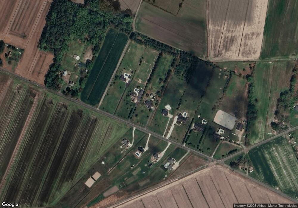
Map
Nearby Homes
- 38.5AC Head of River Rd
- 1149 Beaver Dam Rd
- 1040 Sanderson Rd
- 1928 Long Ridge Rd
- The James II Plan at Hickory Bend
- The Bellhaven Plan at Hickory Bend
- The Ashbee Plan at Hickory Bend
- The Sanderling Plan at Hickory Bend
- 980 Beaver Dam Rd
- 1517 Cedarville Rd
- 1501 Cedarville Rd
- 1498 Cedarville Rd
- 1525 Cedarville Rd
- 1490 Cedarville Rd
- 1524 Cedarville Rd
- 1533 Cedarville Rd
- 2709 Cedarville Rd
- 2207 Carolina Rd
- The Engle Plan at Sanderson Estates
- The Henderson Plan at Sanderson Estates
- 1028 Head of River Rd
- 1044 Head of River Rd
- 1037 Head of River Rd
- 1024 Head of River Rd
- 1052 Head of River Rd
- 1053 Head of River Rd
- 1067 Head of River Rd
- 1060 Head of River Rd
- 1012 Head of River Rd
- 1061 Head of River Rd
- 1045 Head of River Rd
- 1045 Head of River Rd Unit D-4
- 1004 Head of River Rd
- 1068 Head of River Rd
- 1100 Head of River Rd
- 1020 Head of River Rd
- 2244 Long Ridge Rd
- 944 Head of River Rd
- 2228 Long Ridge Rd
- 1018 Head of River Rd