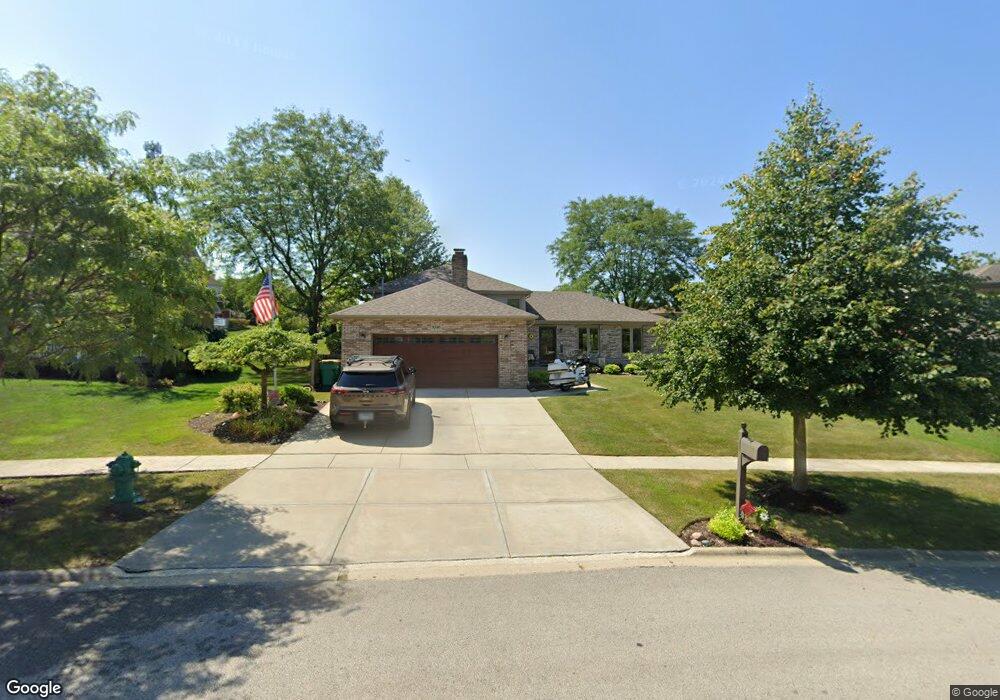
1036 Hilltop Dr Lemont, IL 60439
Northeast Lemont NeighborhoodEstimated Value: $471,000 - $628,000
3
Beds
2
Baths
1,417
Sq Ft
$374/Sq Ft
Est. Value
About This Home
This home is located at 1036 Hilltop Dr, Lemont, IL 60439 and is currently estimated at $529,732, approximately $373 per square foot. 1036 Hilltop Dr is a home located in Cook County with nearby schools including Oakwood School, River Valley School, and Old Quarry Middle School.
Ownership History
Date
Name
Owned For
Owner Type
Purchase Details
Closed on
Oct 21, 2013
Sold by
Urbanski David A and Urbanski Diane M
Bought by
The D & D Urbanski Family Trust
Current Estimated Value
Purchase Details
Closed on
Jun 15, 1998
Sold by
Festin David C and Festin Lisa M
Bought by
Urbanski David A and Urbanski Diane M
Home Financials for this Owner
Home Financials are based on the most recent Mortgage that was taken out on this home.
Original Mortgage
$181,600
Outstanding Balance
$36,710
Interest Rate
7.17%
Estimated Equity
$493,022
Create a Home Valuation Report for This Property
The Home Valuation Report is an in-depth analysis detailing your home's value as well as a comparison with similar homes in the area
Home Values in the Area
Average Home Value in this Area
Purchase History
| Date | Buyer | Sale Price | Title Company |
|---|---|---|---|
| The D & D Urbanski Family Trust | -- | None Available | |
| Urbanski David A | $227,000 | -- |
Source: Public Records
Mortgage History
| Date | Status | Borrower | Loan Amount |
|---|---|---|---|
| Open | Urbanski David A | $181,600 |
Source: Public Records
Tax History Compared to Growth
Tax History
| Year | Tax Paid | Tax Assessment Tax Assessment Total Assessment is a certain percentage of the fair market value that is determined by local assessors to be the total taxable value of land and additions on the property. | Land | Improvement |
|---|---|---|---|---|
| 2024 | $7,832 | $41,000 | $6,786 | $34,214 |
| 2023 | $5,713 | $41,000 | $6,786 | $34,214 |
| 2022 | $5,713 | $26,954 | $5,972 | $20,982 |
| 2021 | $5,560 | $26,953 | $5,971 | $20,982 |
| 2020 | $5,672 | $26,953 | $5,971 | $20,982 |
| 2019 | $6,614 | $32,023 | $5,971 | $26,052 |
| 2018 | $6,503 | $32,023 | $5,971 | $26,052 |
| 2017 | $6,420 | $32,023 | $5,971 | $26,052 |
| 2016 | $5,998 | $27,903 | $4,886 | $23,017 |
| 2015 | $6,058 | $27,903 | $4,886 | $23,017 |
| 2014 | $6,129 | $27,903 | $4,886 | $23,017 |
| 2013 | $6,282 | $30,264 | $4,886 | $25,378 |
Source: Public Records
Map
Nearby Homes
- 390 Kromray Rd
- 611 Houston St
- 11174 Tuscany Ln
- 606 Porter St
- 614 Czacki St
- 700 Czacki St
- 11716 Center Dr
- 414 Hillview Ct
- 523 Talcott Ave
- 1216 Country Ln
- 12444 Killarney Dr
- 12185 Morandi Ct
- 12183 Morandi Ct
- 1200 Leinster Dr
- 14517 Albany Ave
- 207 E Custer St
- 714 Walnut St
- 1156 Covington Dr
- 700 State St
- 12203 Walker Rd