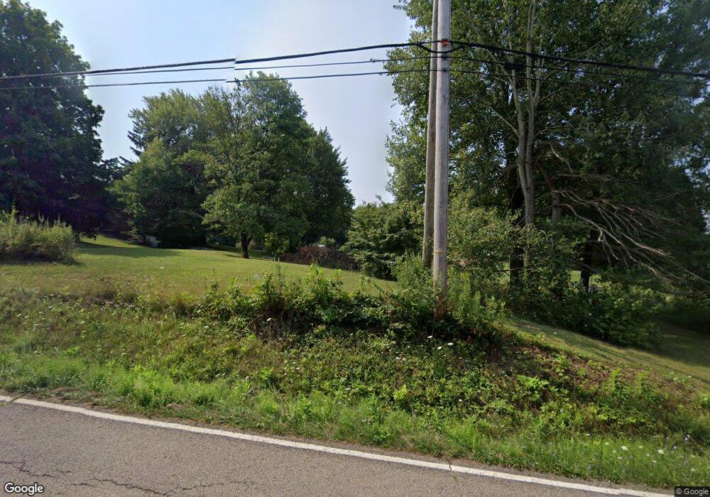
1036 James Rd Granville, OH 43023
Union NeighborhoodEstimated Value: $69,711 - $228,000
2
Beds
1
Bath
1,136
Sq Ft
$124/Sq Ft
Est. Value
About This Home
This home is located at 1036 James Rd, Granville, OH 43023 and is currently estimated at $141,428, approximately $124 per square foot. 1036 James Rd is a home located in Licking County with nearby schools including Granville Elementary School, Granville Intermediate School, and Granville Middle School.
Ownership History
Date
Name
Owned For
Owner Type
Purchase Details
Closed on
May 12, 2022
Sold by
Funnn Limited
Bought by
Taylor Andrew C and Taylor Amanda M
Current Estimated Value
Purchase Details
Closed on
Dec 17, 2013
Sold by
Gummer Chad
Bought by
Funn Ltd
Purchase Details
Closed on
Nov 5, 2013
Sold by
Perkins Jeff
Bought by
Funnn Ltd
Purchase Details
Closed on
Oct 31, 2013
Sold by
Attebery Harold C
Bought by
Gummer Chad
Purchase Details
Closed on
Jun 12, 2006
Sold by
Liveoak Elaine H
Bought by
Attebery Ii Harold C
Purchase Details
Closed on
May 26, 2006
Sold by
Liveoak Elaine H
Bought by
Attebery Ii Harold C
Purchase Details
Closed on
Aug 6, 1999
Sold by
Patterson Emma J
Bought by
Pierce Beverly J
Create a Home Valuation Report for This Property
The Home Valuation Report is an in-depth analysis detailing your home's value as well as a comparison with similar homes in the area
Home Values in the Area
Average Home Value in this Area
Purchase History
| Date | Buyer | Sale Price | Title Company |
|---|---|---|---|
| Taylor Andrew C | -- | Morrow Gordon & Byrd Ltd | |
| Funn Ltd | -- | None Available | |
| Funnn Ltd | $80,000 | None Available | |
| Gummer Chad | $70,000 | Real Living Title | |
| Attebery Ii Harold C | $95,000 | Morriso | |
| Attebery Ii Harold C | $95,000 | Kent Tit | |
| Pierce Beverly J | $105,000 | -- |
Source: Public Records
Tax History
| Year | Tax Paid | Tax Assessment Tax Assessment Total Assessment is a certain percentage of the fair market value that is determined by local assessors to be the total taxable value of land and additions on the property. | Land | Improvement |
|---|---|---|---|---|
| 2024 | $719 | $15,760 | $15,160 | $600 |
| 2023 | $1,615 | $15,760 | $15,160 | $600 |
| 2022 | $2,332 | $44,490 | $15,160 | $29,330 |
| 2021 | $2,377 | $44,490 | $15,160 | $29,330 |
| 2020 | $2,446 | $44,490 | $15,160 | $29,330 |
| 2019 | $2,404 | $40,680 | $15,160 | $25,520 |
| 2018 | $2,495 | $0 | $0 | $0 |
| 2017 | $2,619 | $0 | $0 | $0 |
| 2016 | $2,762 | $0 | $0 | $0 |
| 2015 | $2,751 | $0 | $0 | $0 |
| 2014 | $1,372 | $0 | $0 | $0 |
| 2013 | $2,740 | $0 | $0 | $0 |
Source: Public Records
Map
Nearby Homes
- 799 Old James Rd
- 201 Olde Park W
- 2600 Lancaster Rd
- Lot 9 Orchard Dr
- 2984 Canyon Rd
- 1862 Hallie Ln
- 1764 Hallie Ln
- 1801 River Rd
- 192 Sunset Dr
- 195 Sunset Dr
- 49 Kenwick Cir
- 3343 Hayes Rd
- 2696 Silver St
- 2751 Silver St Unit Lot 1
- 290 Willow Way
- 258 Willow Bend Dr
- 1284 Deeds Rd
- 235 E Elm St
- 327 E Elm St
- 733 Mount Parnassus Dr
Your Personal Tour Guide
Ask me questions while you tour the home.
