1036 Liberty Park Dr Unit 602 Austin, TX 78746
Estimated Value: $1,206,723 - $1,246,000
--
Bed
4
Baths
2,886
Sq Ft
$424/Sq Ft
Est. Value
About This Home
This home is located at 1036 Liberty Park Dr Unit 602, Austin, TX 78746 and is currently estimated at $1,222,431, approximately $423 per square foot. 1036 Liberty Park Dr Unit 602 is a home located in Travis County with nearby schools including Cedar Creek Elementary School, Hill Country Middle School, and Westlake High School.
Ownership History
Date
Name
Owned For
Owner Type
Purchase Details
Closed on
May 17, 2024
Sold by
Blazier John C and Mack Kathleen C
Bought by
Sonik Stacy and Sonik Owen
Current Estimated Value
Purchase Details
Closed on
Jan 22, 2021
Sold by
Blazier John C
Bought by
Mack Kathleen C
Purchase Details
Closed on
Apr 11, 2018
Sold by
Galloway Lucian C and Galloway Beverly P
Bought by
Blazier John C
Purchase Details
Closed on
Aug 20, 2013
Sold by
Kelly Sam Lynn and Kelley Gaylia Newkirk
Bought by
Martin Patricia L
Purchase Details
Closed on
Aug 19, 2011
Sold by
Howe Lawrence D and Howe Evelynn Ann
Bought by
Kelley Sam Lynn and Kelley Gaylia Newkirk
Purchase Details
Closed on
Jul 30, 2007
Sold by
Newmark Homes Lp
Bought by
Howe Lawrence D
Create a Home Valuation Report for This Property
The Home Valuation Report is an in-depth analysis detailing your home's value as well as a comparison with similar homes in the area
Home Values in the Area
Average Home Value in this Area
Purchase History
| Date | Buyer | Sale Price | Title Company |
|---|---|---|---|
| Sonik Stacy | -- | Independence Title | |
| Mack Kathleen C | -- | None Available | |
| Blazier John C | -- | Independence Title | |
| Martin Patricia L | -- | Heritage Title Co | |
| Kelley Sam Lynn | -- | Texas American Title Company | |
| Howe Lawrence D | -- | Universal Land Title Of Tx |
Source: Public Records
Tax History Compared to Growth
Tax History
| Year | Tax Paid | Tax Assessment Tax Assessment Total Assessment is a certain percentage of the fair market value that is determined by local assessors to be the total taxable value of land and additions on the property. | Land | Improvement |
|---|---|---|---|---|
| 2025 | $11,165 | $1,156,179 | $170,407 | $985,772 |
| 2023 | $10,052 | $979,378 | $0 | $0 |
| 2022 | $23,803 | $1,200,389 | $170,407 | $1,029,982 |
| 2021 | $17,611 | $809,404 | $170,407 | $638,997 |
| 2020 | $16,982 | $788,796 | $170,407 | $618,389 |
| 2018 | $15,779 | $710,126 | $170,407 | $539,719 |
| 2017 | $18,200 | $808,656 | $159,756 | $648,900 |
| 2016 | $17,424 | $774,167 | $159,756 | $656,031 |
| 2015 | $12,843 | $703,788 | $159,756 | $544,032 |
| 2014 | $12,843 | $703,720 | $218,421 | $485,299 |
Source: Public Records
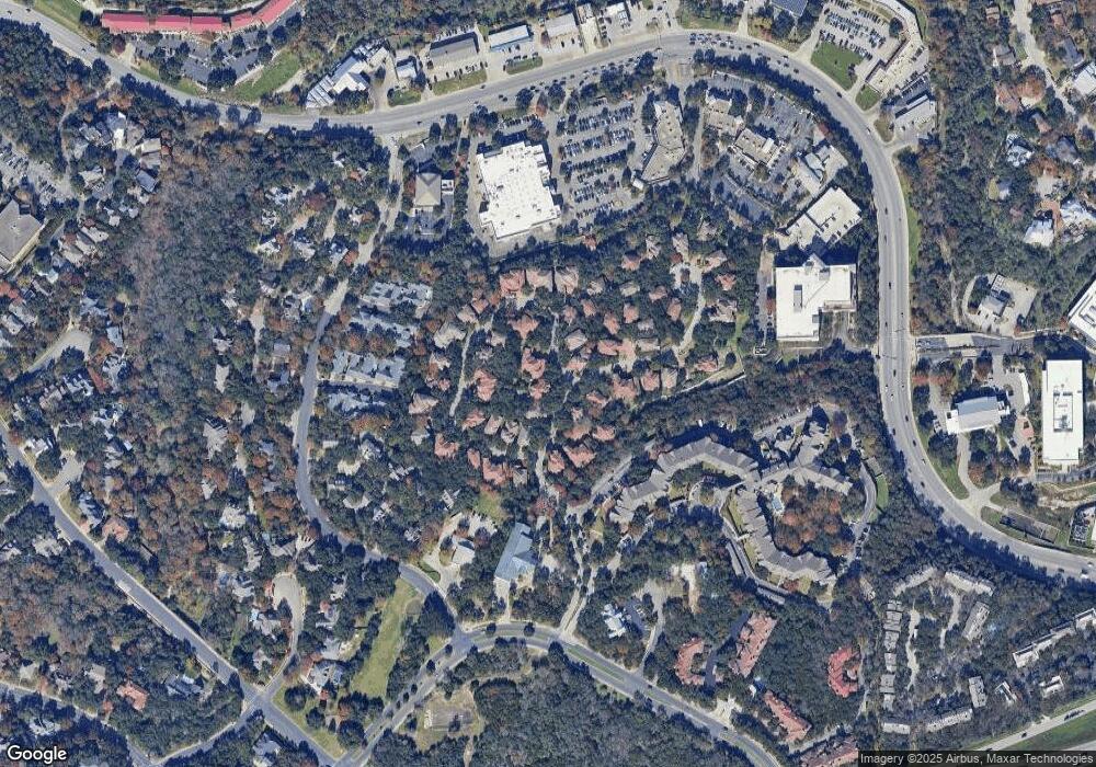
Map
Nearby Homes
- 3012 Bee Caves Rd
- 4901 Southcrest Dr
- 1000 Liberty Park Dr Unit 205
- 2704 Regents Park
- 7 Treemont Dr
- 4810 Timberline Dr
- 601 Riley Rd
- 407 Almarion Dr
- 1213 Grosvener Ct
- 2801 Hubbard Cir
- 1239 Spyglass Dr
- 1306 Wilderness Dr
- 18 N Peak Rd
- 3219 Park Hills Dr
- 20 N Peak Rd
- 103 Woodview Ct
- 7 Inwood Cir
- 3109 Eanes Cir
- 200 Ashworth Dr
- 412 Ridgewood Rd
- 1036 Liberty Park Dr Unit 48B
- 1036 Liberty Park Dr Unit 41A
- 1036 Liberty Park Dr Unit 12 B
- 1036 Liberty Park Dr Unit 4A
- 1036 Liberty Park Dr Unit 34B
- 1036 Liberty Park Dr
- 1036 Liberty Park Dr
- 1036 Liberty Park Dr Unit 1
- 1036 Liberty Park Dr Unit 601
- 1036 Liberty Park Dr Unit 482
- 1036 Liberty Park Dr Unit 481
- 1036 Liberty Park Dr Unit 402
- 1036 Liberty Park Dr Unit 401
- 1036 Liberty Park Dr Unit 45
- 1036 Liberty Park Dr Unit 44
- 1036 Liberty Park Dr Unit 42
- 1036 Liberty Park Dr Unit 36
- 1036 Liberty Park Dr Unit 16
- 1036 Liberty Park Dr Unit 11
- 1036 Liberty Park Dr Unit 10